How to get to Summit Fencing by bus?
Click on the bus route to see step by step directions with maps, line arrival times and updated time schedules.
From Red Arrow Downtown, Edmonton
45 minFrom 11434 120 Street Northwest, Edmonton
57 minFrom Dr. Gerald Zetter Care Centre, Edmonton
101 minFrom Kaye Edmonton Clinic-Parking Lot, Edmonton
62 minFrom Chateau Lacombe Hotel, Edmonton
46 minFrom 50 Corriveau Avenue, St. Albert
82 minFrom William Hawrelak Park, Edmonton
68 minFrom RE Phillips Building, Edmonton
63 minFrom Gurdwara Sikh Society, Edmonton
47 min
Bus stops near Summit Fencing in Edmonton
- 66 Street & 132 Avenue, 2 min walk,VIEW
Light Rail stations near Summit Fencing in Edmonton
- Kathleen Andrews Platform, 12 min walk,VIEW
Bus lines to Summit Fencing in Edmonton
What are the closest stations to Summit Fencing?
The closest stations to Summit Fencing are:
- 66 Street & 132 Avenue is 135 meters away, 2 min walk.
- Kathleen Andrews Platform is 858 meters away, 12 min walk.
Which bus lines stop near Summit Fencing?
These bus lines stop near Summit Fencing: 054, 106.
What’s the nearest light rail station to Summit Fencing in Edmonton?
The nearest light rail station to Summit Fencing in Edmonton is Kathleen Andrews Platform. It’s a 12 min walk away.
What’s the nearest bus station to Summit Fencing in Edmonton?
The nearest bus station to Summit Fencing in Edmonton is 66 Street & 132 Avenue. It’s a 2 min walk away.
What time is the first bus to Summit Fencing in Edmonton?
The 106 is the first bus that goes to Summit Fencing in Edmonton. It stops nearby at 6:19 AM.
What time is the last bus to Summit Fencing in Edmonton?
The 106 is the last bus that goes to Summit Fencing in Edmonton. It stops nearby at 12:20 AM.
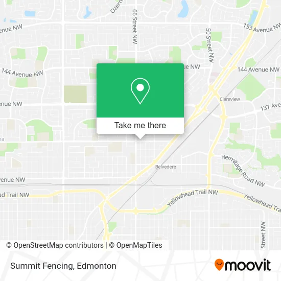
See Summit Fencing, Edmonton, on the map
Public Transit to Summit Fencing in Edmonton
Wondering how to get to Summit Fencing in Edmonton? Moovit helps you find the best way to get to Summit Fencing with step-by-step directions from the nearest public transit station.
Moovit provides free maps and live directions to help you navigate through your city. View schedules, routes, timetables, and find out how long does it take to get to Summit Fencing in real time.
Looking for the nearest stop or station to Summit Fencing? Check out this list of stops closest to your destination: 66 Street & 132 Avenue; Kathleen Andrews Platform.
Bus: 054, 106, 107, 626.
Want to see if there’s another route that gets you there at an earlier time? Moovit helps you find alternative routes or times. Get directions from and directions to Summit Fencing easily from the Moovit App or Website.
We make riding to Summit Fencing easy, which is why over 1.5 million users, including users in Edmonton, trust Moovit as the best app for public transit. You don’t need to download an individual bus app or train app, Moovit is your all-in-one transit app that helps you find the best bus time or train time available.
For information on prices of bus, costs and ride fares to Summit Fencing, please check the Moovit app.
Use the app to navigate to popular places including to the airport, hospital, stadium, grocery store, mall, coffee shop, school, college, and university.
Summit Fencing Address: Edmonton, AB T5A 0J8 street in Edmonton
- The Mustard Seed Mosaic Centre,
- Maple Ridge Apartments,
- Topdog Property Services,
- Norwex Independent Consultant - Margaret,
- Rasta Cowboy Handyman Service,
- Lash Extension Edmonton,
- Berolina Apartments,
- Shaka Touch Hair,
- Faycal Auto Mobille Service,
- Certified Electric,
- Pro Base Construction,
- T.R Handyman Services,
- Edmonton's Best Plumbers,
- CLG Contracting,
- Easy Dump,
- Golden Lady Wholistics,
- Panzica's Animal Trapping and Relocation,
- Jeanette Miller,
- NVS Demolition,
- Glass Arch
Places Near Summit Fencing (Edmonton)
- Rogers Place, Edmonton,
- MacEwan University, Edmonton,
- Borden Park, Edmonton,
- Northgate Centre, Edmonton,
- Alberta Legislature Building, Edmonton,
- Kaye Edmonton Clinic, Edmonton,
- Grey Nuns Community Hospital, Edmonton,
- Edmonton EXPO Centre, Edmonton,
- Edmonton Valley Zoo, Edmonton,
- Fort Edmonton Park, Edmonton,
- University of Alberta, Edmonton,
- Londonderry Mall, Edmonton,
- Edmonton VIA Rail Station, Edmonton,
- Kingsway Mall, Edmonton,
- Whyte Avenue, Edmonton,
- Canada Place Service Canada Centre, Edmonton,
- West Edmonton Mall, Edmonton,
- Edmonton Commonwealth Stadium, Edmonton,
- Royal Alexandra Hospital, Edmonton,
- Cross Cancer Institute, Edmonton
How to get to popular places in Edmonton with public transit
Get around Edmonton by public transit!
Traveling around Edmonton has never been so easy. See step by step directions as you travel to any attraction, street or major public transit station. View bus and train schedules, arrival times, service alerts and detailed routes on a map, so you know exactly how to get to anywhere in Edmonton.
When traveling to any destination around Edmonton use Moovit's Live Directions with Get Off Notifications to know exactly where and how far to walk, how long to wait for your line, and how many stops are left. Moovit will alert you when it's time to get off — no need to constantly re-check whether yours is the next stop.
Wondering how to use public transit in Edmonton or how to pay for public transit in Edmonton? Moovit public transit app can help you navigate your way with public transit easily, and at minimum cost. It includes public transit fees, ticket prices, and costs. Looking for a map of Edmonton public transit lines? Moovit public transit app shows all public transit maps in Edmonton with all Bus and Light Rail routes and stops on an interactive map.
Edmonton has 2 transit type(s), including: Bus and Light Rail, operated by several transit agencies, including ETS LRT, ETS, Strathcona County Transit, St. Albert Transit, Spruce Grove Transit, Fort Saskatchewan Transit, Beaumont Transit and Leduc Transit