How to get to Summit Locksmith by bus?
Click on the bus route to see step by step directions with maps, line arrival times and updated time schedules.
From IKEA Elizabeth Shuttle Bus To Manhattan
76 minFrom Community Coach Bus 77
68 minFrom Union County College - Cranford Campus
48 minFrom Hillside, NJ
44 minFrom Plainfield, NJ
75 minFrom Saint Barnabas Medical Center
99 minFrom West Orange, NJ
85 minFrom Community Coach 77 Bus Stop
64 minFrom Beth Israel Hospital
54 min
How to get to Summit Locksmith by train?
Click on the train route to see step by step directions with maps, line arrival times and updated time schedules.
Bus stops near Summit Locksmith
What are the closest stations to Summit Locksmith?
The closest stations to Summit Locksmith are:
- Maple St at Broad St# is 160 yards away, 3 min walk.
- Broad St at Maple St is 189 yards away, 3 min walk.
- New Providence is 2177 yards away, 26 min walk.
- Summit is 4054 yards away, 48 min walk.
Which bus line stops near Summit Locksmith?
70 (Short Hills Hilton Hotel Via Vauxhall)
Which train lines stop near Summit Locksmith?
These train lines stop near Summit Locksmith: GB, MEL.
What’s the nearest train station to Summit Locksmith?
The nearest train station to Summit Locksmith is New Providence. It’s a 26 min walk away.
What’s the nearest bus station to Summit Locksmith?
The nearest bus stations to Summit Locksmith are Maple St at Broad St# and Broad St at Maple St. The closest one is a 3 min walk away.
What time is the first train to Summit Locksmith?
The MEL is the first train that goes to Summit Locksmith. It stops nearby at 4:38 AM.
What time is the last train to Summit Locksmith?
The MEL is the last train that goes to Summit Locksmith. It stops nearby at 1:55 AM.
What time is the first bus to Summit Locksmith?
The 70 is the first bus that goes to Summit Locksmith. It stops nearby at 5:49 AM.
What time is the last bus to Summit Locksmith?
The 70 is the last bus that goes to Summit Locksmith. It stops nearby at 11:35 PM.
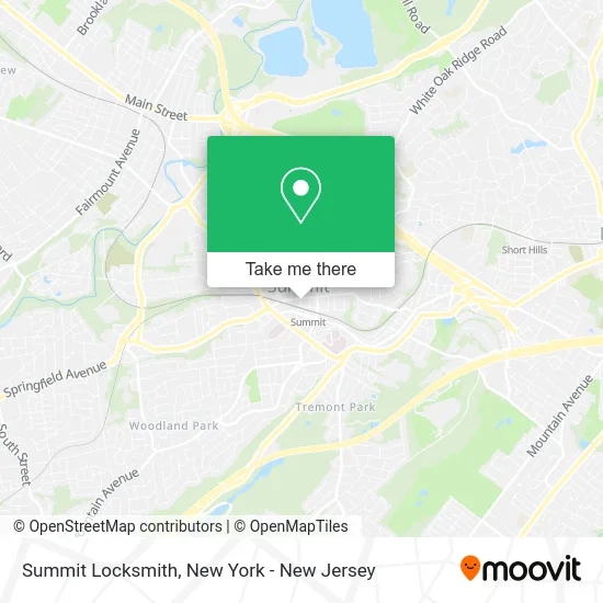
See Summit Locksmith on the map
Public Transportation to Summit Locksmith
Wondering how to get to Summit Locksmith? Moovit helps you find the best way to get to Summit Locksmith with step-by-step directions from the nearest public transit station.
Moovit provides free maps and live directions to help you navigate through your city. View schedules, routes, timetables, and find out how long does it take to get to Summit Locksmith in real time.
Looking for the nearest stop or station to Summit Locksmith? Check out this list of stops closest to your destination: Maple St at Broad St#; Broad St at Maple St; New Providence; Summit.
Bus: 70, 986.Train: GB, MEL.
Want to see if there’s another route that gets you there at an earlier time? Moovit helps you find alternative routes or times. Get directions from and directions to Summit Locksmith easily from the Moovit App or Website.
We make riding to Summit Locksmith easy, which is why over 1.5 million users, including users in Summit, trust Moovit as the best app for public transit. You don’t need to download an individual bus app or train app, Moovit is your all-in-one transit app that helps you find the best bus time or train time available.
For information on prices of bus and train, costs and ride fares to Summit Locksmith, please check the Moovit app.
Use the app to navigate to popular places including to the airport, hospital, stadium, grocery store, mall, coffee shop, school, college, and university.
Summit Locksmith Address: 34 Maple St Summit, NJ 07901 street in Summit
- Robot Revolution,
- The New Print Shop,
- Fiorino Ristorante & Bar,
- Summit Elks Club,
- Kanibal & Co.,
- Agnes Kim,
- Short Hills Ski Club,
- Glenn Potolsky,
- Nu.Nu Hair Extension Bar,
- Hilltop Tutoring,
- Summit External Door Locks,
- Helen Baratta, Realtor,
- Cummings & Co.,
- Denise Torsiello,
- Karen Howells, Real Estate Broker Associate,
- Emily Gonzalez Realtor,
- Jason Ross - Sales Associate / Realtor,
- Stephanie Warm, Lcsw,
- Lululemon,
- Positive Psychotherapy
Places Near Summit Locksmith
- Chinatown, Manhattan,
- 26 Federal Plaza, Manhattan,
- 3 Stone St, Manhattan,
- Hudson Yards, Manhattan,
- qqqq, Manhattan,
- Times Square, Manhattan,
- 66 John Street, Manhattan,
- 376 Hudson Street, Manhattan,
- Queens Center Mall, Queens,
- Mountainside Hospital, Glen Ridge,
- Wall Street, Manhattan,
- 911 Memorial, Manhattan,
- Katz's Deli, Manhattan,
- Rockefeller Center, Manhattan,
- 1 Police Plaza, Manhattan,
- Bellevue Hospital, Manhattan,
- San Gennaro Feast, Manhattan,
- Pier 83, Manhattan,
- SoHo, Manhattan,
- 111 Centre New York City Supreme Court, Manhattan
How to get to popular places in New York - New Jersey with public transit
Get around Summit by public transit!
Traveling around Summit has never been so easy. See step by step directions as you travel to any attraction, street or major public transit station. View bus and train schedules, arrival times, service alerts and detailed routes on a map, so you know exactly how to get to anywhere in Summit.
When traveling to any destination around Summit use Moovit's Live Directions with Get Off Notifications to know exactly where and how far to walk, how long to wait for your line, and how many stops are left. Moovit will alert you when it's time to get off — no need to constantly re-check whether yours is the next stop.
Wondering how to use public transit in Summit or how to pay for public transit in Summit? Moovit public transit app can help you navigate your way with public transit easily, and at minimum cost. It includes public transit fees, ticket prices, and costs. Looking for a map of Summit public transit lines? Moovit public transit app shows all public transit maps in Summit with all Bus, Train, Subway, Light Rail, Ferry and Cable Car routes and stops on an interactive map.
New York - New Jersey has 6 transit type(s), including: Bus, Train, Subway, Light Rail, Ferry and Cable Car, operated by several transit agencies, including MTA Subway, Metro-North Railroad, LIRR, PATH, MTA New York City Transit - Express routes, MTA Bus, NJ Transit, NYC Ferry, NICE bus, Bee-Line Bus, NJ Transit Rail, Norwalk Transit District, Hartford Line, River Valley Transit and HART