How to get to Sunfire Graphics Llc by bus?
Click on the bus route to see step by step directions with maps, line arrival times and updated time schedules.
Bus stop near Sunfire Graphics Llc in Vernon
- Hartfors Tpke @ Sunnyview Dr, 31 min walk,VIEW
Bus lines to Sunfire Graphics Llc in Vernon
- 84, 84 - Tolland St-Rockville,VIEW
What are the closest stations to Sunfire Graphics Llc?
The closest stations to Sunfire Graphics Llc are:
- Hartfors Tpke @ Sunnyview Dr is 2627 yards away, 31 min walk.
Which bus lines stop near Sunfire Graphics Llc?
These bus lines stop near Sunfire Graphics Llc: 84, 903/913, 913.
What time is the first bus to Sunfire Graphics Llc in Vernon?
The 84 is the first bus that goes to Sunfire Graphics Llc in Vernon. It stops nearby at 5:35 AM.
What time is the last bus to Sunfire Graphics Llc in Vernon?
The 84 is the last bus that goes to Sunfire Graphics Llc in Vernon. It stops nearby at 5:37 AM.
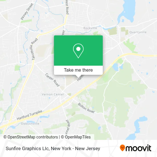
See Sunfire Graphics Llc, Vernon, on the map
Public Transit to Sunfire Graphics Llc in Vernon
Wondering how to get to Sunfire Graphics Llc in Vernon? Moovit helps you find the best way to get to Sunfire Graphics Llc with step-by-step directions from the nearest public transit station.
Moovit provides free maps and live directions to help you navigate through your city. View schedules, routes, timetables, and find out how long does it take to get to Sunfire Graphics Llc in real time.
Looking for the nearest stop or station to Sunfire Graphics Llc? Check out this list of stops closest to your destination: Hartfors Tpke @ Sunnyview Dr.
Bus: 84, 903/913, 913.
Want to see if there’s another route that gets you there at an earlier time? Moovit helps you find alternative routes or times. Get directions from and directions to Sunfire Graphics Llc easily from the Moovit App or Website.
We make riding to Sunfire Graphics Llc easy, which is why over 1.5 million users, including users in Vernon, trust Moovit as the best app for public transit. You don’t need to download an individual bus app or train app, Moovit is your all-in-one transit app that helps you find the best bus time or train time available.
For information on prices of bus and train, costs and ride fares to Sunfire Graphics Llc, please check the Moovit app.
Use the app to navigate to popular places including to the airport, hospital, stadium, grocery store, mall, coffee shop, school, college, and university.
Sunfire Graphics Llc Address: 865 Hartford Tpke street in Vernon
- Atm 7eleven, Inc.,
- 7-Eleven #15123,
- Western Union,
- The Laundry Room,
- New England Pizza,
- 903 Hartford Turnpike Parking,
- Ecker Hill Disc Golf Course,
- Deborah S. Griffin Dmd Llc,
- Partyprodj Llc,
- Aldi,
- Jeffrey Burns,
- St Bernard's Cemetery,
- The Garden Barn Nursery & Landscape,
- The Garden Barn Nursery and Landscape,
- Economy Express Car Wash,
- Rockville Rentals,
- Spotless Chimney,
- The Garden Barn Nursery,
- Vernon Fire Police Company,
- Pelletier Drums
Places Near Sunfire Graphics Llc (Vernon)
- San Gennaro Feast, Manhattan,
- 111 Centre New York City Supreme Court, Manhattan,
- Pier 83, Manhattan,
- Mountainside Hospital, Glen Ridge,
- Bellevue Hospital, Manhattan,
- 26 Federal Plaza, Manhattan,
- Queens Center Mall, Queens,
- qqqq, Manhattan,
- SoHo, Manhattan,
- 3 Stone St, Manhattan,
- 376 Hudson Street, Manhattan,
- Hudson Yards, Manhattan,
- 1 Police Plaza, Manhattan,
- Wall Street, Manhattan,
- 911 Memorial, Manhattan,
- Rockefeller Center, Manhattan,
- Chinatown, Manhattan,
- Times Square, Manhattan,
- 66 John Street, Manhattan,
- Katz's Deli, Manhattan
How to get to popular places in New York - New Jersey with public transit
Get around Vernon by public transit!
Traveling around Vernon has never been so easy. See step by step directions as you travel to any attraction, street or major public transit station. View bus and train schedules, arrival times, service alerts and detailed routes on a map, so you know exactly how to get to anywhere in Vernon.
When traveling to any destination around Vernon use Moovit's Live Directions with Get Off Notifications to know exactly where and how far to walk, how long to wait for your line, and how many stops are left. Moovit will alert you when it's time to get off — no need to constantly re-check whether yours is the next stop.
Wondering how to use public transit in Vernon or how to pay for public transit in Vernon? Moovit public transit app can help you navigate your way with public transit easily, and at minimum cost. It includes public transit fees, ticket prices, and costs. Looking for a map of Vernon public transit lines? Moovit public transit app shows all public transit maps in Vernon with all Bus, Train, Subway, Light Rail, Ferry and Cable Car routes and stops on an interactive map.
New York - New Jersey has 6 transit type(s), including: Bus, Train, Subway, Light Rail, Ferry and Cable Car, operated by several transit agencies, including MTA Subway, Metro-North Railroad, LIRR, PATH, MTA New York City Transit - Express routes, MTA Bus, NJ Transit, NYC Ferry, NICE bus, Bee-Line Bus, NJ Transit Rail, Norwalk Transit District, Hartford Line, River Valley Transit and HART