How to get to Support Services Organization by bus?
Click on the bus route to see step by step directions with maps, line arrival times and updated time schedules.
From Fairfax County Courthouse, Fairfax County
76 minFrom Fairfax County Government Center, Fairfax County
57 minFrom Fair Oaks Mall, Fairfax County
52 minFrom Hookers & Blow, Fairfax County
64 minFrom Reston Town Center, Fairfax County
64 minFrom Amazon Web Services - IAD21, Fairfax County
64 minFrom Oakton, Virginia, Fairfax County
75 minFrom Inova Fair Oaks Hospital, Fairfax County
55 min
Bus stops near Support Services Organization in Fairfax County
Bus lines to Support Services Organization in Fairfax County
What are the closest stations to Support Services Organization?
The closest stations to Support Services Organization are:
- Stonecroft Boul. Opp Westfields Hs is 680 yards away, 9 min walk.
- Lee Rd @ Conference Center Dr is 951 yards away, 12 min walk.
Which bus lines stop near Support Services Organization?
These bus lines stop near Support Services Organization: 651, 901.
What’s the nearest bus station to Support Services Organization in Fairfax County?
The nearest bus station to Support Services Organization in Fairfax County is Stonecroft Boul. Opp Westfields Hs. It’s a 9 min walk away.
What time is the first bus to Support Services Organization in Fairfax County?
The 901 is the first bus that goes to Support Services Organization in Fairfax County. It stops nearby at 5:22 AM.
What time is the last bus to Support Services Organization in Fairfax County?
The 651 is the last bus that goes to Support Services Organization in Fairfax County. It stops nearby at 11:06 PM.
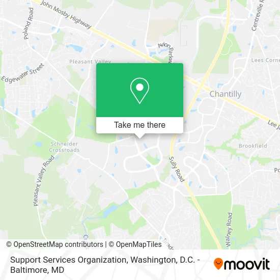
See Support Services Organization, Fairfax County, on the map
Public Transit to Support Services Organization in Fairfax County
Wondering how to get to Support Services Organization in Fairfax County? Moovit helps you find the best way to get to Support Services Organization with step-by-step directions from the nearest public transit station.
Moovit provides free maps and live directions to help you navigate through your city. View schedules, routes, timetables, and find out how long does it take to get to Support Services Organization in real time.
Looking for the nearest stop or station to Support Services Organization? Check out this list of stops closest to your destination: Stonecroft Boul. Opp Westfields Hs; Lee Rd @ Conference Center Dr.
Bus: 651, 901.
Want to see if there’s another route that gets you there at an earlier time? Moovit helps you find alternative routes or times. Get directions from and directions to Support Services Organization easily from the Moovit App or Website.
We make riding to Support Services Organization easy, which is why over 1.5 million users, including users in Fairfax County, trust Moovit as the best app for public transit. You don’t need to download an individual bus app or train app, Moovit is your all-in-one transit app that helps you find the best bus time or train time available.
For information on prices of bus and metro, costs and ride fares to Support Services Organization, please check the Moovit app.
Use the app to navigate to popular places including to the airport, hospital, stadium, grocery store, mall, coffee shop, school, college, and university.
Support Services Organization Address: 4801 Stonecroft Blvd Chantilly, VA 20151 street in Fairfax County
- Credit Union 1,
- ATM,
- Potter Cristina - Saic,
- Blink Charging,
- Fidelity National Title Insurance,
- Uptown Cafe,
- Clear River Community Church,
- Westfield High School VA USA,
- LC III Cafe,
- Carmen Ferrufino Sandoval at Comparion Insurance Agency,
- Lockheed Martin,
- Maria Monzon at Comparion Insurance Agency,
- Connor Gore at Comparion Insurance Agency,
- Xiomara del Cid del Cid Mejia at Comparion Insurance Agency,
- Template Fabrication Installation,
- Carstar Centreville Collision Center,
- Sizewise Kathy,
- Westfield Theatre - Chantilly, VA,
- LNJ Beauty Boutique,
- Dmv
Places Near Support Services Organization (Fairfax County)
- National Museum of African American History and Culture, Washington,
- Capital One Arena, Washington,
- Camden Yards, Baltimore,
- Amazon Hq2, Arlington County,
- Basilica of the National Shrine, Washington,
- Washington National Cathedral, Washington,
- Marriott Marquis Washington, DC, Washington,
- Georgetown, Washington,
- Pennsylvania Ave NW (3rd st and pennsylvania), Washington,
- Warner Theatre, Washington,
- M&T Bank Stadium, Baltimore,
- National Mall, Washington,
- Sibley Memorial Hospital, Washington,
- Rock Creek Tennis Center, Washington,
- National Zoo, Washington,
- PG Mall, Prince George's County,
- Washington DC VA Medical Center, Washington,
- The Anthem, Washington,
- Westfield Montgomery Mall, Montgomery County,
- Museum Of The Bible, Washington
How to get to popular places in Washington, D.C. - Baltimore, MD with public transit
Get around Fairfax County by public transit!
Traveling around Fairfax County has never been so easy. See step by step directions as you travel to any attraction, street or major public transit station. View bus and train schedules, arrival times, service alerts and detailed routes on a map, so you know exactly how to get to anywhere in Fairfax County.
When traveling to any destination around Fairfax County use Moovit's Live Directions with Get Off Notifications to know exactly where and how far to walk, how long to wait for your line, and how many stops are left. Moovit will alert you when it's time to get off — no need to constantly re-check whether yours is the next stop.
Wondering how to use public transit in Fairfax County or how to pay for public transit in Fairfax County? Moovit public transit app can help you navigate your way with public transit easily, and at minimum cost. It includes public transit fees, ticket prices, and costs. Looking for a map of Fairfax County public transit lines? Moovit public transit app shows all public transit maps in Fairfax County with all Bus, Train, Metro, Light Rail and Ferry routes and stops on an interactive map.
Washington, D.C. - Baltimore, MD has 5 transit type(s), including: Bus, Train, Metro, Light Rail and Ferry, operated by several transit agencies, including WMATA, Montgomery County Ride On, Fairfax Connector, TheBus, PRTC, DASH - Alexandria, Arlington Transit (ART), RTA of Central Maryland, MDOT MTA, MDOT MTA Light RailLink, MDOT MTA Commuter Bus, MDOT MTA Local Bus, FXBGO!, Virginia Railway Express (VRE) and MARC