Directions to Supri Help Informatica E Suprimentos (Guaíra) with public transportation
The following transit lines have routes that pass near Supri Help Informatica E Suprimentos
How to get to Supri Help Informatica E Suprimentos by bus?
Click on the bus route to see step by step directions with maps, line arrival times and updated time schedules.
From Uberaba, Uberaba
45 minFrom Rua Izaac Ferreira da Cruz, Sítio Cercado
40 minFrom Bosque Alemão, Vista Alegre
49 minFrom Rua Francisco Derosso, Alto Boqueirão
52 minFrom São Francisco, São Francisco
26 minFrom Rua Sete de Setembro, São José Dos Pinhais
65 minFrom Parque Tanguá, O Parque Mais Lindo de Curitiba, Taboão
61 minFrom Avenida Vereador Toaldo Túlio 2500, São Braz
60 minFrom Boate Garotas Anonimas de Plantão, São José Dos Pinhais
61 minFrom Atacadão, Bairro Alto
42 min
Bus stops near Supri Help Informatica E Suprimentos in Guaíra
Bus lines to Supri Help Informatica E Suprimentos in Guaíra
What are the closest stations to Supri Help Informatica E Suprimentos?
The closest stations to Supri Help Informatica E Suprimentos are:
- Rua Rio De Janeiro, 2214 - Escola Itacelina Bittencourt is 46 meters away, 1 min walk.
- R. Alagoas, Escola Itacelina Bittencourt is 105 meters away, 2 min walk.
Which bus lines stop near Supri Help Informatica E Suprimentos?
These bus lines stop near Supri Help Informatica E Suprimentos: 602 CIRCULAR SUL (ANTI-HORÁRIO), 616 PORTÃO / SANTA BERNADETHE, 661 LINDOIA, 662 DOM ÁTICO.
What’s the nearest bus station to Supri Help Informatica E Suprimentos in Guaíra?
The nearest bus station to Supri Help Informatica E Suprimentos in Guaíra is Rua Rio De Janeiro, 2214 - Escola Itacelina Bittencourt. It’s a 1 min walk away.
What time is the first bus to Supri Help Informatica E Suprimentos in Guaíra?
The 616 PORTÃO / SANTA BERNADETHE is the first bus that goes to Supri Help Informatica E Suprimentos in Guaíra. It stops nearby at 5:38 AM.
What time is the last bus to Supri Help Informatica E Suprimentos in Guaíra?
The 661 LINDOIA is the last bus that goes to Supri Help Informatica E Suprimentos in Guaíra. It stops nearby at 12:25 AM.
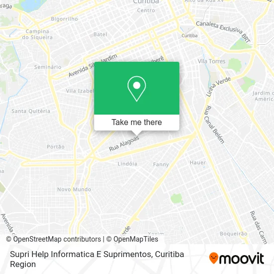
See Supri Help Informatica E Suprimentos, Guaíra, on the map
Public Transit to Supri Help Informatica E Suprimentos in Guaíra
Wondering how to get to Supri Help Informatica E Suprimentos in Guaíra? Moovit helps you find the best way to get to Supri Help Informatica E Suprimentos with step-by-step directions from the nearest public transit station.
Moovit provides free maps and live directions to help you navigate through your city. View schedules, routes, timetables, and find out how long does it take to get to Supri Help Informatica E Suprimentos in real time.
Looking for the nearest stop or station to Supri Help Informatica E Suprimentos? Check out this list of stops closest to your destination: Rua Rio De Janeiro; R. Alagoas.
Bus: 602 CIRCULAR SUL (ANTI-HORÁRIO), 616 PORTÃO / SANTA BERNADETHE, 661 LINDOIA, 662 DOM ÁTICO, 666 NOVO MUNDO.
Want to see if there’s another route that gets you there at an earlier time? Moovit helps you find alternative routes or times. Get directions from and directions to Supri Help Informatica E Suprimentos easily from the Moovit App or Website.
We make riding to Supri Help Informatica E Suprimentos easy, which is why over 1.5 million users, including users in Guaíra, trust Moovit as the best app for public transit. You don’t need to download an individual bus app or train app, Moovit is your all-in-one transit app that helps you find the best bus time or train time available.
For information on prices of bus, costs and ride fares to Supri Help Informatica E Suprimentos, please check the Moovit app.
Use the app to navigate to popular places including to the airport, hospital, stadium, grocery store, mall, coffee shop, school, college, and university.
Supri Help Informatica E Suprimentos Address: Rua Alagoas, 2145 Guaíra Curitiba-PR 80630-050 street in Guaíra
- Cegemed Distribuidora de Produtos Farmaceuticos,
- Osinburks Special Solutions,
- Escola Municipal Itacelina Bittencourt,
- Rua Pernambuco 2122,
- Centro Espírita Irmãos do Caminho Curitiba,
- Rua Sergipe,
- Igreja Visão Missionária - IDE,
- Avenida da República,
- Rua Minas Gerais 1140,
- Cravinhos Bar,
- Rua Daisy Luci Berno 2387-2535,
- Rua Minas Gerais 734,
- Mimos' Pet,
- Rua Previsto Columbia 377,
- Obpc Vila Guaira,
- Andre Remes,
- Jhonn Jhonn Bar,
- Rua São Paulo 1663,
- Padaria E Confeitaria Panielo,
- Premium CFTV
Places Near Supri Help Informatica E Suprimentos (Guaíra)
- Campo Largo, Campo,
- Parque Barigui, Mercês,
- Park Shopping Barigüi, Mossunguê,
- Pontifícia Universidade Católica do Paraná (PUCPR), Prado Velho,
- Hospital de Clínicas (HC - UFPR), Centro,
- Hospital do Rocio, Campo,
- Hospital Da Cruz Vermelha, Batel,
- Shopping Estação, Rebouças,
- Jockey Plaza Shopping Center, Tarumã,
- Hospital Angelina Caron, Campina Grande Do Sul,
- Hospital Universitário Evangélico de Curitiba, Bigorrilho,
- Arena Da Baixada - Curitiba,
- Hospital Madalena Sofia, Bairro Alto,
- Hospital Nossa Senhora Das Graças, Mercês,
- Jardim Botânico de Curitiba PR, Centro,
- Rua General Mário Tourinho, Campina Do Siqueira,
- Shopping Palladium, Portão,
- Rua Martim Afonso 558, Mercês,
- Hospital Erasto Gaertner, Jardim Das Américas,
- Hhhhh, Fazendinha
How to get to popular places in Curitiba Region with public transit
Get around Guaíra by public transit!
Traveling around Guaíra has never been so easy. See step by step directions as you travel to any attraction, street or major public transit station. View bus and train schedules, arrival times, service alerts and detailed routes on a map, so you know exactly how to get to anywhere in Guaíra.
When traveling to any destination around Guaíra use Moovit's Live Directions with Get Off Notifications to know exactly where and how far to walk, how long to wait for your line, and how many stops are left. Moovit will alert you when it's time to get off — no need to constantly re-check whether yours is the next stop.
Wondering how to use public transit in Guaíra or how to pay for public transit in Guaíra? Moovit public transit app can help you navigate your way with public transit easily, and at minimum cost. It includes public transit fees, ticket prices, and costs. Looking for a map of Guaíra public transit lines? Moovit public transit app shows all public transit maps in Guaíra with all Bus and Cable Car routes and stops on an interactive map.
Curitiba Region has 2 transit type(s), including: Bus and Cable Car, operated by several transit agencies, including Sistema Integrado de Mobilidade (URBS), Sistema Integrado de Mobilidade (AMEP), URBS (Cartões bancários e Dinheiro), URBS (Cartões bancários / Cartão URBS), AMEP (Cartões bancários / Cartão MetroCard), AMEP (Cartões bancários / Cartão MetroCard / Dinheiro), Viação Colombo (Dinheiro), TRIAR (Cartão TRIAR / Dinheiro), Empresa Curitiba Cerro Azul (Dinheiro), Expresso Nossa Senhora da Penha (Dinheiro), Empresa Campo Alto Tijucas (Dinheiro), Auto Viação São José (Cartão VEM / Dinheiro), BRT S/A (Cartão VEM / Dinheiro), TransPiedade (Cartão Cidadão / Dinheiro) and Oceânica Sul (Cartão Transporte / Dinheiro)