How to get to Surgery Center Of Annapolis by bus?
Click on the bus route to see step by step directions with maps, line arrival times and updated time schedules.
From Bowie Town Center, Prince George's County
115 minFrom Brazzers, Prince George's County
132 minFrom Bowie, MD, Prince George's County
108 minFrom Glen Burnie, MD, Anne Arundel County
107 minFrom Anne Arundel Community College, Anne Arundel County
91 minFrom Archbishop Spalding High School, Severn
145 minFrom Pasadena, Maryland, Anne Arundel County
83 min
Bus stops near Surgery Center Of Annapolis in Anne Arundel County
Bus lines to Surgery Center Of Annapolis in Anne Arundel County
What are the closest stations to Surgery Center Of Annapolis?
The closest stations to Surgery Center Of Annapolis are:
- Riva Rd & Forest Dr Eb is 492 yards away, 6 min walk.
- Riva Rd. And Forest Dr is 547 yards away, 7 min walk.
- Harry S Truman P & R is 877 yards away, 11 min walk.
Which bus lines stop near Surgery Center Of Annapolis?
These bus lines stop near Surgery Center Of Annapolis: 921, GREEN.
What’s the nearest bus station to Surgery Center Of Annapolis in Anne Arundel County?
The nearest bus station to Surgery Center Of Annapolis in Anne Arundel County is Riva Rd & Forest Dr Eb. It’s a 6 min walk away.
What time is the first bus to Surgery Center Of Annapolis in Anne Arundel County?
The 220 is the first bus that goes to Surgery Center Of Annapolis in Anne Arundel County. It stops nearby at 5:07 AM.
What time is the last bus to Surgery Center Of Annapolis in Anne Arundel County?
The 220 is the last bus that goes to Surgery Center Of Annapolis in Anne Arundel County. It stops nearby at 7:50 PM.
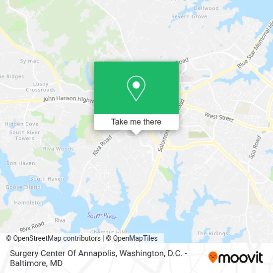
See Surgery Center Of Annapolis, Anne Arundel County, on the map
Public Transit to Surgery Center Of Annapolis in Anne Arundel County
Wondering how to get to Surgery Center Of Annapolis in Anne Arundel County? Moovit helps you find the best way to get to Surgery Center Of Annapolis with step-by-step directions from the nearest public transit station.
Moovit provides free maps and live directions to help you navigate through your city. View schedules, routes, timetables, and find out how long does it take to get to Surgery Center Of Annapolis in real time.
Looking for the nearest stop or station to Surgery Center Of Annapolis? Check out this list of stops closest to your destination: Riva Rd & Forest Dr Eb; Riva Rd. And Forest Dr; Harry S Truman P & R.
Bus: 921, GREEN, 220, 230, 210.
Want to see if there’s another route that gets you there at an earlier time? Moovit helps you find alternative routes or times. Get directions from and directions to Surgery Center Of Annapolis easily from the Moovit App or Website.
We make riding to Surgery Center Of Annapolis easy, which is why over 1.7 million users, including users in Anne Arundel County, trust Moovit as the best app for public transit. You don’t need to download an individual bus app or train app, Moovit is your all-in-one transit app that helps you find the best bus time or train time available.
For information on prices of bus and train, costs and ride fares to Surgery Center Of Annapolis, please check the Moovit app.
Use the app to navigate to popular places including to the airport, hospital, stadium, grocery store, mall, coffee shop, school, college, and university.
Surgery Center Of Annapolis Address: 130 Admiral Cochrane Dr street in Anne Arundel County
- Riva Road Park & Ride,
- Harry S. Truman Park & Ride,
- Starbucks,
- Luminis Health J. Kent McNew Family Medical Center,
- Anne Arundel (Anne Arundel County),
- Chuck E. Cheese's,
- Anne Arundel County Direct Dialing To All Agencies Is Provided For You Administration,
- Anne Arundel County Office Complex,
- Anne Arundel County Bureau Of Watershed Protection And Restoration,
- Anne Arundel County Recycling And Waste Reduction Division,
- Anne Arundel County Permit Center,
- Anne Arundel County Inspection,
- Inspections And Environmental,
- Anne Arundel Weed Resistance,
- Anne Arundel County Department Of Aging & Disabilities,
- Benjamin Barnes,
- Jeffrey Spencer, Md,
- Elizabeth Terry Greeley,
- Lucie Victoria Moravia,
- Sinclair Prosser Gasior
Places Near Surgery Center Of Annapolis (Anne Arundel County)
- Georgetown, Washington,
- Camden Yards, Baltimore,
- Rock Creek Tennis Center, Washington,
- Pennsylvania Ave NW (3rd st and pennsylvania), Washington,
- Washington National Cathedral, Washington,
- Basilica of the National Shrine, Washington,
- National Zoo, Washington,
- Sibley Memorial Hospital, Washington,
- Warner Theatre, Washington,
- PG Mall, Prince George's County,
- National Museum of African American History and Culture, Washington,
- Washington DC VA Medical Center, Washington,
- Capital One Arena, Washington,
- Museum Of The Bible, Washington,
- Westfield Montgomery Mall, Montgomery County,
- Marriott Marquis Washington, DC, Washington,
- National Theatre, Washington,
- M&T Bank Stadium, Baltimore,
- Amazon Hq2, Arlington County,
- The Anthem, Washington
How to get to popular places in Washington, D.C. - Baltimore, MD with public transit
Get around Anne Arundel County by public transit!
Traveling around Anne Arundel County has never been so easy. See step by step directions as you travel to any attraction, street or major public transit station. View bus and train schedules, arrival times, service alerts and detailed routes on a map, so you know exactly how to get to anywhere in Anne Arundel County.
When traveling to any destination around Anne Arundel County use Moovit's Live Directions with Get Off Notifications to know exactly where and how far to walk, how long to wait for your line, and how many stops are left. Moovit will alert you when it's time to get off — no need to constantly re-check whether yours is the next stop.
Wondering how to use public transit in Anne Arundel County or how to pay for public transit in Anne Arundel County? Moovit public transit app can help you navigate your way with public transit easily, and at minimum cost. It includes public transit fees, ticket prices, and costs. Looking for a map of Anne Arundel County public transit lines? Moovit public transit app shows all public transit maps in Anne Arundel County with all Bus, Train, Metro, Light Rail and Ferry routes and stops on an interactive map.
Washington, D.C. - Baltimore, MD has 5 transit type(s), including: Bus, Train, Metro, Light Rail and Ferry, operated by several transit agencies, including WMATA, Montgomery County Ride On, Fairfax Connector, TheBus, PRTC, DASH - Alexandria, Arlington Transit (ART), RTA of Central Maryland, MDOT MTA, MDOT MTA Light RailLink, MDOT MTA Commuter Bus, MDOT MTA Local Bus, FXBGO!, Virginia Railway Express (VRE) and MARC