How to get to System F by bus?
Click on the bus route to see step by step directions with maps, line arrival times and updated time schedules.
From South Broward High School, Hollywood
73 minFrom Amazon warehouse, Miami
83 minFrom North Bay Village, Miami Beach
57 minFrom Walmart Supercenter, Hallandale Beach
36 minFrom Surfside Beach, Miami Beach
29 minFrom Sensual Massage 4 Women, Miami Beach
58 minFrom NW 183rd St / NW 7th Ave, Miami Gardens
91 minFrom Dolphin Mall, Miami
83 minFrom North Beach, Miami Beach
38 minFrom Bay Harbor Islands, Miami Beach
44 min
Bus stops near System F in Miami Beach
Bus lines to System F in Miami Beach
What are the closest stations to System F?
The closest stations to System F are:
- N Bay Rd & 178 Dr is 186 yards away, 3 min walk.
- Collins Av & 176 St is 962 yards away, 12 min walk.
Which bus lines stop near System F?
These bus lines stop near System F: 100, 75, SUNNYBL, SUNNYOR.
What’s the nearest bus station to System F in Miami Beach?
The nearest bus station to System F in Miami Beach is N Bay Rd & 178 Dr. It’s a 3 min walk away.
What time is the first bus to System F in Miami Beach?
The 100 is the first bus that goes to System F in Miami Beach. It stops nearby at 3:53 AM.
What time is the last bus to System F in Miami Beach?
The 100 is the last bus that goes to System F in Miami Beach. It stops nearby at 2:54 AM.
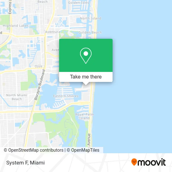
See System F, Miami Beach, on the map
Public Transit to System F in Miami Beach
Wondering how to get to System F in Miami Beach? Moovit helps you find the best way to get to System F with step-by-step directions from the nearest public transit station.
Moovit provides free maps and live directions to help you navigate through your city. View schedules, routes, timetables, and find out how long does it take to get to System F in real time.
Looking for the nearest stop or station to System F? Check out this list of stops closest to your destination: N Bay Rd & 178 Dr; Collins Av & 176 St.
Bus: 100, 75, SUNNYBL, SUNNYOR.
Want to see if there’s another route that gets you there at an earlier time? Moovit helps you find alternative routes or times. Get directions from and directions to System F easily from the Moovit App or Website.
We make riding to System F easy, which is why over 1.5 million users, including users in Miami Beach, trust Moovit as the best app for public transit. You don’t need to download an individual bus app or train app, Moovit is your all-in-one transit app that helps you find the best bus time or train time available.
For information on prices of bus, costs and ride fares to System F, please check the Moovit app.
Use the app to navigate to popular places including to the airport, hospital, stadium, grocery store, mall, coffee shop, school, college, and university.
System F Address: North Miami Beach, FL 33160 street in Miami Beach
- Sunny Isles Mobile Notary & Translation Services,
- Surf Moving,
- Blossom Biz,
- Rimon Professionals,
- Nikki Moving,
- Fantastico Cleaning,
- B T Wallpaper Solution,
- Tsikhanovich Design,
- Flexdetailing,
- Miami Peach 305,
- Simon Doiban Enterprises,
- Unik Maintenance Services,
- Arc Marine Towing and Salvage,
- Fit Science Method,
- Roca Home Services,
- Vassili Koval,
- Pink Print Event Coordination,
- Krystal Waters,
- Handyman Ustynovych,
- Alter
Places Near System F (Miami Beach)
- Dolphin Mall, Miami,
- Port of Miami Cruise Terminal, Miami,
- Sawgrass Mall, Miami,
- Wynwood, Miami,
- Miami Design District, Miami,
- Keiser University Flagship Campus, West Palm Beach,
- Miami Freedom Park, Miami,
- Bayside Marketplace, Miami,
- Sawgrass mall ( FL ), Miami Beach,
- Dolphin Mall Bus, Miami,
- Little Havana, Miami,
- Miami VA Hospital, Miami,
- Zoo Miami, Miami,
- Miami-Dade County Courthouse, Miami,
- Aventura Mall, Miami,
- Marlins Park, Miami,
- Hard Rock Stadium, Miami Gardens,
- Richard E. Gerstein Justice Building, Miami,
- Brickell City Centre, Miami,
- Aventura Mall, Miami Beach
How to get to popular places in Miami with public transit
Get around Miami Beach by public transit!
Traveling around Miami Beach has never been so easy. See step by step directions as you travel to any attraction, street or major public transit station. View bus and train schedules, arrival times, service alerts and detailed routes on a map, so you know exactly how to get to anywhere in Miami Beach.
When traveling to any destination around Miami Beach use Moovit's Live Directions with Get Off Notifications to know exactly where and how far to walk, how long to wait for your line, and how many stops are left. Moovit will alert you when it's time to get off — no need to constantly re-check whether yours is the next stop.
Wondering how to use public transit in Miami Beach or how to pay for public transit in Miami Beach? Moovit public transit app can help you navigate your way with public transit easily, and at minimum cost. It includes public transit fees, ticket prices, and costs. Looking for a map of Miami Beach public transit lines? Moovit public transit app shows all public transit maps in Miami Beach with all Bus, Train, Light Rail and Ferry routes and stops on an interactive map.
Miami has 4 transit type(s), including: Bus, Train, Light Rail and Ferry, operated by several transit agencies, including Broward County Transit, Miami-Dade Transit, Metrorail, Palm Tran, Tri-Rail, Brightline, MARTY, City of Homestead Trolley, Key West Transit, Treasure Coast Connector, GoLine IRT, Amtrak, Greyhound-us, FlixBus-us and Aventura Express Shuttle Bus