How to get to TDC by bus?
Click on the bus route to see step by step directions with maps, line arrival times and updated time schedules.
From Pentagon City Mall, Arlington County
56 minFrom U.S. Naval Research Laboratory - NRL, Washington
95 minFrom Hyatt Place-Arlington Courthouse Plaza (Hyatt Place Arlington/Courthouse Plaza), Arlington County
57 minFrom College Park Marriott Hotel & Conference Center, Prince George's County
87 minFrom Del Ray, Alexandria
65 minFrom Consulado General de El Salvador en El Dmv, Montgomery County
57 minFrom Qsa, Arlington County
61 minFrom Naval Research Lab, Washington
95 minFrom Navy Lodge, Washington
99 min
How to get to TDC by train?
Click on the train route to see step by step directions with maps, line arrival times and updated time schedules.
How to get to TDC by metro?
Click on the metro route to see step by step directions with maps, line arrival times and updated time schedules.
Bus stops near TDC in Washington
Metro stations near TDC in Washington
Bus lines to TDC in Washington
What are the closest stations to TDC?
The closest stations to TDC are:
- U St Nw+13 St NW is 90 yards away, 2 min walk.
- 14 St Nw+T St NW is 316 yards away, 4 min walk.
- 14 St Nw+U St NW is 327 yards away, 5 min walk.
- 11 St Nw+S St NW is 489 yards away, 6 min walk.
- Vermont Av Nw+U St NW is 521 yards away, 7 min walk.
- Mt Vernon Sq/7th St-Convention Center is 832 yards away, 11 min walk.
- Dupont Circle Metro Station is 3396 yards away, 41 min walk.
Which bus lines stop near TDC?
These bus lines stop near TDC: C51, C53, D50.
Which train lines stop near TDC?
These train lines stop near TDC: MARC, NORTHEAST REGIONAL.
Which metro lines stop near TDC?
These metro lines stop near TDC: GREEN, YELLOW.
What’s the nearest metro station to TDC in Washington?
The nearest metro station to TDC in Washington is Mt Vernon Sq/7th St-Convention Center. It’s a 11 min walk away.
What’s the nearest bus station to TDC in Washington?
The nearest bus station to TDC in Washington is U St Nw+13 St NW. It’s a 2 min walk away.
What time is the first metro to TDC in Washington?
The GREEN is the first metro that goes to TDC in Washington. It stops nearby at 5:16 AM.
What time is the last metro to TDC in Washington?
The GREEN is the last metro that goes to TDC in Washington. It stops nearby at 12:25 AM.
What time is the first bus to TDC in Washington?
The C53 is the first bus that goes to TDC in Washington. It stops nearby at 3:00 AM.
What time is the last bus to TDC in Washington?
The C53 is the last bus that goes to TDC in Washington. It stops nearby at 3:20 AM.
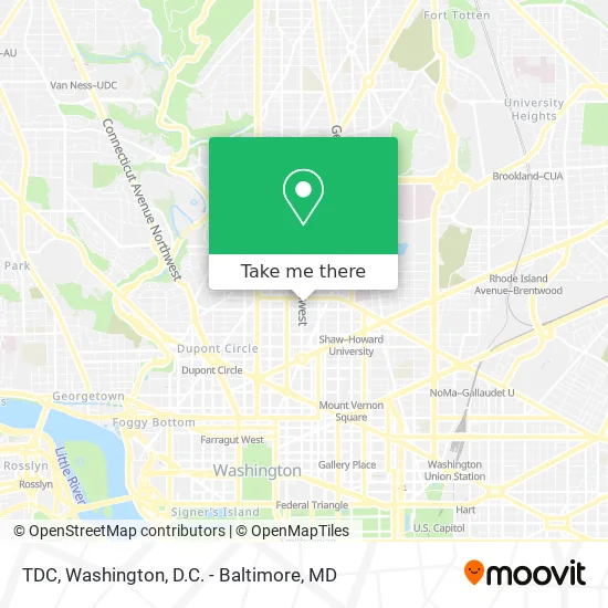
See TDC, Washington, on the map
Public Transit to TDC in Washington
Wondering how to get to TDC in Washington? Moovit helps you find the best way to get to TDC with step-by-step directions from the nearest public transit station.
Moovit provides free maps and live directions to help you navigate through your city. View schedules, routes, timetables, and find out how long does it take to get to TDC in real time.
Looking for the nearest stop or station to TDC? Check out this list of stops closest to your destination: U St Nw+13 St NW; 14 St Nw+T St NW; 14 St Nw+U St NW; 11 St Nw+S St NW; Vermont Av Nw+U St NW; Mt Vernon Sq/7th St-Convention Center; Dupont Circle Metro Station.
Bus: C51, C53, D50, D5X, D44.Train: MARC, NORTHEAST REGIONAL.Metro: GREEN, YELLOW, RED.
Want to see if there’s another route that gets you there at an earlier time? Moovit helps you find alternative routes or times. Get directions from and directions to TDC easily from the Moovit App or Website.
We make riding to TDC easy, which is why over 1.5 million users, including users in Washington, trust Moovit as the best app for public transit. You don’t need to download an individual bus app or train app, Moovit is your all-in-one transit app that helps you find the best bus time or train time available.
For information on prices of bus, metro and train, costs and ride fares to TDC, please check the Moovit app.
Use the app to navigate to popular places including to the airport, hospital, stadium, grocery store, mall, coffee shop, school, college, and university.
TDC Address: 1919 13th St NW Washington, DC 20009 street in Washington
- U Street Hostel,
- Sojourn the 13th St Flats,
- U Street / African-Amer Civil War Memorial / Cardozo Metro Station,
- Lincoln Theatre,
- Brooklyn on U,
- U Street Metro Station,
- Ben's next Door,
- Alero Restaurant,
- The Lincoln Theatre,
- Cardozo / Shaw, District of Columbia,
- Cardozo,
- Alero Mexican Restaurant,
- Pure Lounge,
- The Fainting Goat,
- Hawthorne,
- Flight Pass DC Free Weed Gifts in DC,
- Sudhouse DC,
- Capital City Care,
- Harry's Locksmith Service,
- Art Under Pressure
Places Near TDC (Washington)
- M&T Bank Stadium, Baltimore,
- Warner Theatre, Washington,
- Rock Creek Tennis Center, Washington,
- National Theatre, Washington,
- Westfield Montgomery Mall, Montgomery County,
- Amazon Hq2, Arlington County,
- Marriott Marquis Washington, DC, Washington,
- Washington DC VA Medical Center, Washington,
- National Museum of African American History and Culture, Washington,
- PG Mall, Prince George's County,
- Museum Of The Bible, Washington,
- Sibley Memorial Hospital, Washington,
- National Zoo, Washington,
- Washington National Cathedral, Washington,
- Capital One Arena, Washington,
- Georgetown, Washington,
- The Anthem, Washington,
- Pennsylvania Ave NW (3rd st and pennsylvania), Washington,
- Camden Yards, Baltimore,
- Basilica of the National Shrine, Washington
How to get to popular places in Washington, D.C. - Baltimore, MD with public transit
Get around Washington by public transit!
Traveling around Washington has never been so easy. See step by step directions as you travel to any attraction, street or major public transit station. View bus and train schedules, arrival times, service alerts and detailed routes on a map, so you know exactly how to get to anywhere in Washington.
When traveling to any destination around Washington use Moovit's Live Directions with Get Off Notifications to know exactly where and how far to walk, how long to wait for your line, and how many stops are left. Moovit will alert you when it's time to get off — no need to constantly re-check whether yours is the next stop.
Wondering how to use public transit in Washington or how to pay for public transit in Washington? Moovit public transit app can help you navigate your way with public transit easily, and at minimum cost. It includes public transit fees, ticket prices, and costs. Looking for a map of Washington public transit lines? Moovit public transit app shows all public transit maps in Washington with all Bus, Train, Metro, Light Rail and Ferry routes and stops on an interactive map.
Washington, D.C. - Baltimore, MD has 5 transit type(s), including: Bus, Train, Metro, Light Rail and Ferry, operated by several transit agencies, including WMATA, Montgomery County Ride On, Fairfax Connector, TheBus, PRTC, DASH - Alexandria, Arlington Transit (ART), RTA of Central Maryland, MDOT MTA, MDOT MTA Light RailLink, MDOT MTA Commuter Bus, MDOT MTA Local Bus, FXBGO!, Virginia Railway Express (VRE) and MARC