Directions to TMBC (Port St. Lucie) with public transportation
The following transit lines have routes that pass near TMBC
 Bus: 5, FLIXBUS N2401, FLIXBUS N2411, GREYHOUND US0710S, 95.
How to get to TMBC by bus?
Click on the bus route to see step by step directions with maps, line arrival times and updated time schedules.
From US-1 / SE Port St Lucie Blvd, Port St. Lucie
117 minFrom Indian River State College, Fort Pierce
198 minFrom CVS Pharmacy - (Lyngate Dr), Port St. Lucie
124 minFrom US-1, Fort Pierce
139 minFrom Clover Park, Port St. Lucie
150 minFrom Hca Florida Lawnwood Hospital, Fort Pierce
151 minFrom William T. Dwyer High School, Jupiter
168 minFrom Donald Ross Rd / Military Trl, Jupiter
154 minFrom Suncoast High School, Riviera Beach
138 min
Bus stops near TMBC in Port St. Lucie
Bus lines to TMBC in Port St. Lucie
What are the closest stations to TMBC?
The closest stations to TMBC are:
- Port St Lucie (Park & Ride) is 491 yards away, 7 min walk.
- GATLIN BLVD at I-95 P/R LOT is 503 yards away, 7 min walk.
- SW Gatlin Blvd & SW Brescia St is 522 yards away, 7 min walk.
Which bus lines stop near TMBC?
These bus lines stop near TMBC: 5, FLIXBUS N2401.
What’s the nearest bus station to TMBC in Port St. Lucie?
The nearest bus stations to TMBC in Port St. Lucie are Port St Lucie (Park & Ride), GATLIN BLVD at I-95 P/R LOT and SW Gatlin Blvd & SW Brescia St. The closest one is a 7 min walk away.
What time is the first bus to TMBC in Port St. Lucie?
The FLIXBUS N2411 is the first bus that goes to TMBC in Port St. Lucie. It stops nearby at 3:20 AM.
What time is the last bus to TMBC in Port St. Lucie?
The FLIXBUS N2401 is the last bus that goes to TMBC in Port St. Lucie. It stops nearby at 11:10 AM.
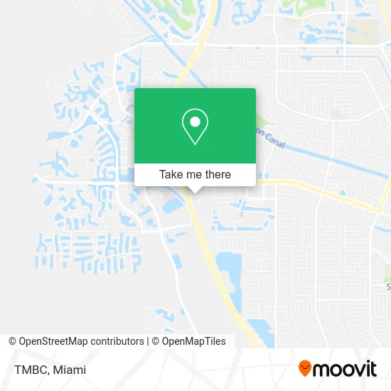
See TMBC, Port St. Lucie, on the map
Public Transit to TMBC in Port St. Lucie
Wondering how to get to TMBC in Port St. Lucie? Moovit helps you find the best way to get to TMBC with step-by-step directions from the nearest public transit station.
Moovit provides free maps and live directions to help you navigate through your city. View schedules, routes, timetables, and find out how long does it take to get to TMBC in real time.
Looking for the nearest stop or station to TMBC? Check out this list of stops closest to your destination: Port St Lucie (Park & Ride); GATLIN BLVD at I-95 P/R LOT; SW Gatlin Blvd & SW Brescia St.
Bus: 5, FLIXBUS N2401, FLIXBUS N2411, GREYHOUND US0710S, 95.
Want to see if there’s another route that gets you there at an earlier time? Moovit helps you find alternative routes or times. Get directions from and directions to TMBC easily from the Moovit App or Website.
We make riding to TMBC easy, which is why over 1.5 million users, including users in Port St. Lucie, trust Moovit as the best app for public transit. You don’t need to download an individual bus app or train app, Moovit is your all-in-one transit app that helps you find the best bus time or train time available.
For information on prices of bus, costs and ride fares to TMBC, please check the Moovit app.
Use the app to navigate to popular places including to the airport, hospital, stadium, grocery store, mall, coffee shop, school, college, and university.
TMBC Address: 2250 SW Gatlin Blvd Port St Lucie, FL 34953 street in Port St. Lucie
- Sunglass Hut,
- Oakley,
- Cabela's,
- The North Face,
- Depot,
- Minute Key,
- Penske Auto Center,
- Home Depot,
- Miller's Ale House,
- Penske Truck Rental,
- Dave & Buster's Port St. Lucie (Coming Soon),
- Floor & Décor,
- Wendy's,
- Javi's Auto Body Repair,
- Greyhound Bus Lines,
- Tires Plus,
- Brooker Equipment,
- Mavis Discount Tire,
- Bass Pro Shops,
- Tiki Ev
Places Near TMBC (Port St. Lucie)
- Sawgrass mall ( FL ), Miami Beach,
- Richard E. Gerstein Justice Building, Miami,
- Aventura Mall, Miami,
- Marlins Park, Miami,
- Miami VA Hospital, Miami,
- Hard Rock Stadium, Miami Gardens,
- Keiser University Flagship Campus, West Palm Beach,
- Sawgrass Mall, Miami,
- Little Havana, Miami,
- Aventura Mall, Miami Beach,
- Miami Freedom Park, Miami,
- Wynwood, Miami,
- Dolphin Mall, Miami,
- Dolphin Mall Bus, Miami,
- Miami-Dade County Courthouse, Miami,
- Miami Design District, Miami,
- Port of Miami Cruise Terminal, Miami,
- Brickell City Centre, Miami,
- Bayside Marketplace, Miami,
- Zoo Miami, Miami
How to get to popular places in Miami with public transit
Get around Port St. Lucie by public transit!
Traveling around Port St. Lucie has never been so easy. See step by step directions as you travel to any attraction, street or major public transit station. View bus and train schedules, arrival times, service alerts and detailed routes on a map, so you know exactly how to get to anywhere in Port St. Lucie.
When traveling to any destination around Port St. Lucie use Moovit's Live Directions with Get Off Notifications to know exactly where and how far to walk, how long to wait for your line, and how many stops are left. Moovit will alert you when it's time to get off — no need to constantly re-check whether yours is the next stop.
Wondering how to use public transit in Port St. Lucie or how to pay for public transit in Port St. Lucie? Moovit public transit app can help you navigate your way with public transit easily, and at minimum cost. It includes public transit fees, ticket prices, and costs. Looking for a map of Port St. Lucie public transit lines? Moovit public transit app shows all public transit maps in Port St. Lucie with all Bus, Train, Light Rail and Ferry routes and stops on an interactive map.
Miami has 4 transit type(s), including: Bus, Train, Light Rail and Ferry, operated by several transit agencies, including Broward County Transit, Miami-Dade Transit, Metrorail, Palm Tran, Tri-Rail, Brightline, MARTY, City of Homestead Trolley, Key West Transit, Treasure Coast Connector, GoLine IRT, Amtrak, Greyhound-us, FlixBus-us and Aventura Express Shuttle Bus