How to get to Tai Chi And Pakua by bus?
Click on the bus route to see step by step directions with maps, line arrival times and updated time schedules.
From Silver Line - 60th Street Station, Kentwood
40 minFrom Dumpster Divers, Wyoming
37 minFrom Bagel Kitchen Westside, Grand Rapids
59 minFrom Mary Beauty Salon, Wyoming
25 minFrom Oppenhuizen Law, Grand Rapids
38 minFrom US-131 & 54th St SW, Wyoming
54 minFrom Ignash, Rosemary L, Grand Rapids
65 minFrom St. Michael the Archangel Ukrainian Greek Catholic Church, Grand Rapids, MI, Grand Rapids
51 minFrom U-Haul, Kentwood
45 minFrom Pleasure-Way Excel Ts1, Kentwood
43 min
Bus stop near Tai Chi And Pakua in Grand Rapids
- Burton/Calvin University (Eb), 4 min walk,VIEW
What are the closest stations to Tai Chi And Pakua?
The closest stations to Tai Chi And Pakua are:
- Burton/Calvin University (Eb) is 276 yards away, 4 min walk.
Which bus lines stop near Tai Chi And Pakua?
These bus lines stop near Tai Chi And Pakua: 24, 6.
What’s the nearest bus station to Tai Chi And Pakua in Grand Rapids?
The nearest bus station to Tai Chi And Pakua in Grand Rapids is Burton/Calvin University (Eb). It’s a 4 min walk away.
What time is the first bus to Tai Chi And Pakua in Grand Rapids?
The 6 is the first bus that goes to Tai Chi And Pakua in Grand Rapids. It stops nearby at 5:06 AM.
What time is the last bus to Tai Chi And Pakua in Grand Rapids?
The 6 is the last bus that goes to Tai Chi And Pakua in Grand Rapids. It stops nearby at 11:49 PM.
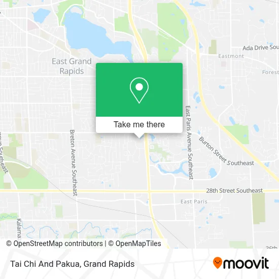
See Tai Chi And Pakua, Grand Rapids, on the map
Public Transit to Tai Chi And Pakua in Grand Rapids
Wondering how to get to Tai Chi And Pakua in Grand Rapids? Moovit helps you find the best way to get to Tai Chi And Pakua with step-by-step directions from the nearest public transit station.
Moovit provides free maps and live directions to help you navigate through your city. View schedules, routes, timetables, and find out how long does it take to get to Tai Chi And Pakua in real time.
Looking for the nearest stop or station to Tai Chi And Pakua? Check out this list of stops closest to your destination: Burton/Calvin University (Eb).
Bus: 24, 6.
Want to see if there’s another route that gets you there at an earlier time? Moovit helps you find alternative routes or times. Get directions from and directions to Tai Chi And Pakua easily from the Moovit App or Website.
We make riding to Tai Chi And Pakua easy, which is why over 1.5 million users, including users in Grand Rapids, trust Moovit as the best app for public transit. You don’t need to download an individual bus app or train app, Moovit is your all-in-one transit app that helps you find the best bus time or train time available.
For information on prices of bus, costs and ride fares to Tai Chi And Pakua, please check the Moovit app.
Use the app to navigate to popular places including to the airport, hospital, stadium, grocery store, mall, coffee shop, school, college, and university.
Tai Chi And Pakua Address: 2040 Raybrook St SE street in Grand Rapids
- East Beltline Ave (M-37) & Burton St SE,
- Calvin College,
- GR Meat Center,
- Woodland Mall,
- Lake Eastbrook,
- Centerpointe Mall,
- Rapid Route 28 - Woodland Mall Stop,
- Pilgrims Run Golf Club,
- East Beltline Ave SE (M-37) & 28th St SE (M-11),
- - A - D - T - Alarm - A D T General Information,
- Fresh Thyme Farmers Market,
- Dave & Buster's,
- 29th & Shaffer,
- Whole Foods,
- Bindery House,
- Hearthside Food Solutions LLC,
- Burlington Coat Factory,
- Caledonia Farmers Market,
- Spartannash,
- metro health community clinic
Places Near Tai Chi And Pakua (Grand Rapids)
- Spectrum Health-Blodgett Hospital, East Grand Rapids,
- Woodland Mall, Kentwood,
- Byron Center,
- Spectrum Health Butterworth Hospital, Grand Rapids,
- Union High School, Grand Rapids,
- John Ball Zoo, Grand Rapids,
- Pine Rest Mental Health, Grand Rapids,
- Blodgett Hospital, East Grand Rapids,
- YMCA - David D. Hunting, Grand Rapids,
- Grand Rapids Community College, Grand Rapids,
- Frederik Meijer Gardens, Grand Rapids,
- Grandville, MI, Grandville,
- Van Andel Arena, Grand Rapids,
- Lemmen-Holton Cancer Pavilion, Grand Rapids,
- Butterworth Hospital Internal Radiology, Grand Rapids,
- Metro Cascade,
- Kent County Courthouse, Grand Rapids,
- University of Michigan Health Metro Health Hospital, Wyoming,
- Helel DeVos Children's Hospital Food Court, Grand Rapids,
- Hudsonville
How to get to popular places in Grand Rapids with public transit
Get around Grand Rapids by public transit!
Traveling around Grand Rapids has never been so easy. See step by step directions as you travel to any attraction, street or major public transit station. View bus and train schedules, arrival times, service alerts and detailed routes on a map, so you know exactly how to get to anywhere in Grand Rapids.
When traveling to any destination around Grand Rapids use Moovit's Live Directions with Get Off Notifications to know exactly where and how far to walk, how long to wait for your line, and how many stops are left. Moovit will alert you when it's time to get off — no need to constantly re-check whether yours is the next stop.
Wondering how to use public transit in Grand Rapids or how to pay for public transit in Grand Rapids? Moovit public transit app can help you navigate your way with public transit easily, and at minimum cost. It includes public transit fees, ticket prices, and costs. Looking for a map of Grand Rapids public transit lines? Moovit public transit app shows all public transit maps in Grand Rapids with all Bus and Train routes and stops on an interactive map.
Grand Rapids has 2 transit type(s), including: Bus and Train, operated by several transit agencies, including The Rapid, Amtrak and FlixBus-us