How to get to Take AS Is by bus?
Click on the bus route to see step by step directions with maps, line arrival times and updated time schedules.
From Megabus Stop - White Marsh Park & Ride, Baltimore County
99 minFrom White Marsh Mall, Baltimore County
118 minFrom I-95 Exit 80 - Belcamp (MD 543), Harford County
118 minFrom Edgewood, Maryland, Harford County
71 minFrom Franklin Square Dr (franklin hospital), Baltimore County
124 minFrom Middle River, Maryland, Baltimore County
171 minFrom I-695 Exit 29 (Loch Raven Blvd (MD 542)/Cromwell Bridge Rd), Baltimore County
166 minFrom Kohl's Distribution Center, Harford County
84 minFrom Medstar Franklin Square Medical Center, Baltimore County
124 minFrom Amazon Fulfillment Center-MTN2, Harford County
92 min
Bus stops near Take AS Is in Harford County
What are the closest stations to Take AS Is?
The closest stations to Take AS Is are:
- Bel Air High School is 305 yards away, 4 min walk.
- Harford County Health Dept (Hays St & Thomas St) is 414 yards away, 6 min walk.
Which bus lines stop near Take AS Is?
These bus lines stop near Take AS Is: 1, 2, 410.
What’s the nearest bus station to Take AS Is in Harford County?
The nearest bus station to Take AS Is in Harford County is Bel Air High School. It’s a 4 min walk away.
What time is the first bus to Take AS Is in Harford County?
The 1 is the first bus that goes to Take AS Is in Harford County. It stops nearby at 5:32 AM.
What time is the last bus to Take AS Is in Harford County?
The 1 is the last bus that goes to Take AS Is in Harford County. It stops nearby at 8:19 PM.
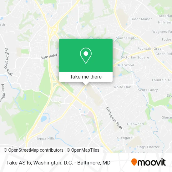
See Take AS Is, Harford County, on the map
Public Transit to Take AS Is in Harford County
Wondering how to get to Take AS Is in Harford County? Moovit helps you find the best way to get to Take AS Is with step-by-step directions from the nearest public transit station.
Moovit provides free maps and live directions to help you navigate through your city. View schedules, routes, timetables, and find out how long does it take to get to Take AS Is in real time.
Looking for the nearest stop or station to Take AS Is? Check out this list of stops closest to your destination: Bel Air High School; Harford County Health Dept (Hays St & Thomas St).
Bus: 1, 2, 410, 6.
Want to see if there’s another route that gets you there at an earlier time? Moovit helps you find alternative routes or times. Get directions from and directions to Take AS Is easily from the Moovit App or Website.
We make riding to Take AS Is easy, which is why over 1.5 million users, including users in Harford County, trust Moovit as the best app for public transit. You don’t need to download an individual bus app or train app, Moovit is your all-in-one transit app that helps you find the best bus time or train time available.
For information on prices of bus and train, costs and ride fares to Take AS Is, please check the Moovit app.
Use the app to navigate to popular places including to the airport, hospital, stadium, grocery store, mall, coffee shop, school, college, and university.
Take AS Is Address: 215 Baltimore Pike Bel Air, MD 21014 street in Harford County
- PANDORA,
- Hopeway Mental Health,
- Take 5 Oil Change,
- Amr,
- Crabby Axe Throwing,
- Kim Blair Microblading Tech & Master Stylist,
- Contact US,
- Ledo Pizza and Pasta,
- Lifesafer Ignition Interlock,
- Harford County Lawyer,
- Baltimore MD-924,
- Ata Martial Arts M,
- Harford County Council,
- Homeward Bound Veterinary Services,
- Amazon Locker-Milin,
- Wawa,
- Margherita Pizza,
- Bel Air Car Locksmith,
- GM Performance,
- PW Fax
Places Near Take AS Is (Harford County)
- M&T Bank Stadium, Baltimore,
- Westfield Montgomery Mall, Montgomery County,
- Washington DC VA Medical Center, Washington,
- Georgetown, Washington,
- Amazon Hq2, Arlington County,
- Pennsylvania Ave NW (3rd st and pennsylvania), Washington,
- Sibley Memorial Hospital, Washington,
- Warner Theatre, Washington,
- PG Mall, Prince George's County,
- Camden Yards, Baltimore,
- Museum Of The Bible, Washington,
- National Zoo, Washington,
- The Anthem, Washington,
- Washington National Cathedral, Washington,
- Rock Creek Tennis Center, Washington,
- Basilica of the National Shrine, Washington,
- Marriott Marquis Washington, DC, Washington,
- National Mall, Washington,
- Capital One Arena, Washington,
- National Museum of African American History and Culture, Washington
How to get to popular places in Washington, D.C. - Baltimore, MD with public transit
Get around Harford County by public transit!
Traveling around Harford County has never been so easy. See step by step directions as you travel to any attraction, street or major public transit station. View bus and train schedules, arrival times, service alerts and detailed routes on a map, so you know exactly how to get to anywhere in Harford County.
When traveling to any destination around Harford County use Moovit's Live Directions with Get Off Notifications to know exactly where and how far to walk, how long to wait for your line, and how many stops are left. Moovit will alert you when it's time to get off — no need to constantly re-check whether yours is the next stop.
Wondering how to use public transit in Harford County or how to pay for public transit in Harford County? Moovit public transit app can help you navigate your way with public transit easily, and at minimum cost. It includes public transit fees, ticket prices, and costs. Looking for a map of Harford County public transit lines? Moovit public transit app shows all public transit maps in Harford County with all Bus, Train, Metro, Light Rail and Ferry routes and stops on an interactive map.
Washington, D.C. - Baltimore, MD has 5 transit type(s), including: Bus, Train, Metro, Light Rail and Ferry, operated by several transit agencies, including WMATA, Montgomery County Ride On, Fairfax Connector, TheBus, PRTC, DASH - Alexandria, Arlington Transit (ART), RTA of Central Maryland, MDOT MTA, MDOT MTA Light RailLink, MDOT MTA Commuter Bus, MDOT MTA Local Bus, FXBGO!, Virginia Railway Express (VRE) and MARC