
Talbot Ave @ Nightingale St stop - Friday schedule
| Line | Direction | Time |
|---|---|---|
| 22 | Ruggles | 5:11 AM |
| 22 | Ruggles | 5:21 AM |
| 22 | Ruggles | 5:31 AM |
| 22 | Ruggles | 5:41 AM |
| 22 | Ruggles | 5:49 AM |
| 22 | Ruggles | 5:57 AM |
| 22 | Ruggles | 6:05 AM |
| 22 | Ruggles | 6:12 AM |
| 22 | Ruggles | 6:19 AM |
| 22 | Ruggles | 6:26 AM |
| 22 | Ruggles | 6:34 AM |
| 22 | Ruggles | 6:43 AM |
| 22 | Kenmore Via Ruggles | 6:45 AM |
| 22 | Ruggles | 6:52 AM |
| 22 | Ruggles | 7:01 AM |
| 22 | Ruggles | 7:12 AM |
| 22 | Ruggles | 7:21 AM |
| 22 | Ruggles | 7:30 AM |
| 22 | Ruggles | 7:39 AM |
| 22 | Ruggles | 7:47 AM |
| 22 | Ruggles | 7:57 AM |
| 22 | Ruggles | 8:07 AM |
| 22 | Ruggles | 8:17 AM |
| 22 | Ruggles | 8:28 AM |
| 22 | Ruggles | 8:38 AM |
Directions to Talbot Ave @ Nightingale St stop (Boston) with public transit
The following transit lines have routes that pass near Talbot Ave @ Nightingale St
 Bus: 22, 28, 29, 14.
- Train: FAIRMOUNT, FRANKLIN/FOXBORO, FAIRMOUNT LINE SHUTTLE, PROVIDENCE/STOUGHTON.
- Subway: RED LINE.
How to get to Talbot Ave @ Nightingale St stop by public transit?
Click on the bus route to see step-by-step directions with maps, line arrival times and updated time schedules.
How to get to Talbot Ave @ Nightingale St stop by public transit?
Click on the train route to see step-by-step directions with maps, line arrival times and updated time schedules.
How to get to Talbot Ave @ Nightingale St stop by public transit?
Click on the subway route to see step-by-step directions with maps, line arrival times and updated time schedules.
Bus stops near Talbot Ave @ Nightingale St stop in Boston
- Talbot Ave Opp Nightingale St, 1 min walk,
- Blue Hill Ave Opp Health Ctr, 3 min walk,
- American Legion Hwy @ Blue Hill Ave, 8 min walk,
Train stations near Talbot Ave @ Nightingale St station in Boston
- Talbot Avenue, 9 min walk,
Bus lines to Talbot Ave @ Nightingale St stop in Boston
- 22, Kenmore Via Ruggles,
- 28, Avenue Louis Pasteur Via Ruggles,
- 29, Jackson Square,
- 14, Heath St,
What are the closest stations to Talbot Ave @ Nightingale St?
The closest stations to Talbot Ave @ Nightingale St are:
- Talbot Ave Opp Nightingale St stop is 34 yards away, 1 min walk.
- Blue Hill Ave Opp Health Ctr stop is 252 yards away, 3 min walk.
- American Legion Hwy @ Blue Hill Ave stop is 622 yards away, 8 min walk.
- Talbot Avenue station is 737 yards away, 9 min walk.
Which bus lines stop near Talbot Ave @ Nightingale St?
These bus lines stop near Talbot Ave @ Nightingale St: 22, 28.
Which train line stops near Talbot Ave @ Nightingale St?
FAIRMOUNT (#1626 | South Station)
Which subway line stops near Talbot Ave @ Nightingale St?
RED LINE (Ashmont/Braintree)
What’s the nearest train station to Talbot Ave @ Nightingale St in Boston?
The nearest train station to Talbot Ave @ Nightingale St in Boston is Talbot Avenue. It’s a 9 min walk away.
What’s the nearest bus station to Talbot Ave @ Nightingale St in Boston?
The nearest bus station to Talbot Ave @ Nightingale St in Boston is Talbot Ave Opp Nightingale St. It’s a 1 min walk away.
What time is the first train to Talbot Ave @ Nightingale St in Boston?
The FAIRMOUNT is the first train that goes to Talbot Ave @ Nightingale St in Boston. It stops nearby at 4:56 AM.
What time is the last train to Talbot Ave @ Nightingale St in Boston?
The FRANKLIN/FOXBORO is the last train that goes to Talbot Ave @ Nightingale St in Boston. It stops nearby at 12:14 AM.
What time is the first bus to Talbot Ave @ Nightingale St in Boston?
The 28 is the first bus that goes to Talbot Ave @ Nightingale St in Boston. It stops nearby at 3:04 AM.
What time is the last bus to Talbot Ave @ Nightingale St in Boston?
The 28 is the last bus that goes to Talbot Ave @ Nightingale St in Boston. It stops nearby at 2:21 AM.
Talbot Ave @ Nightingale St station
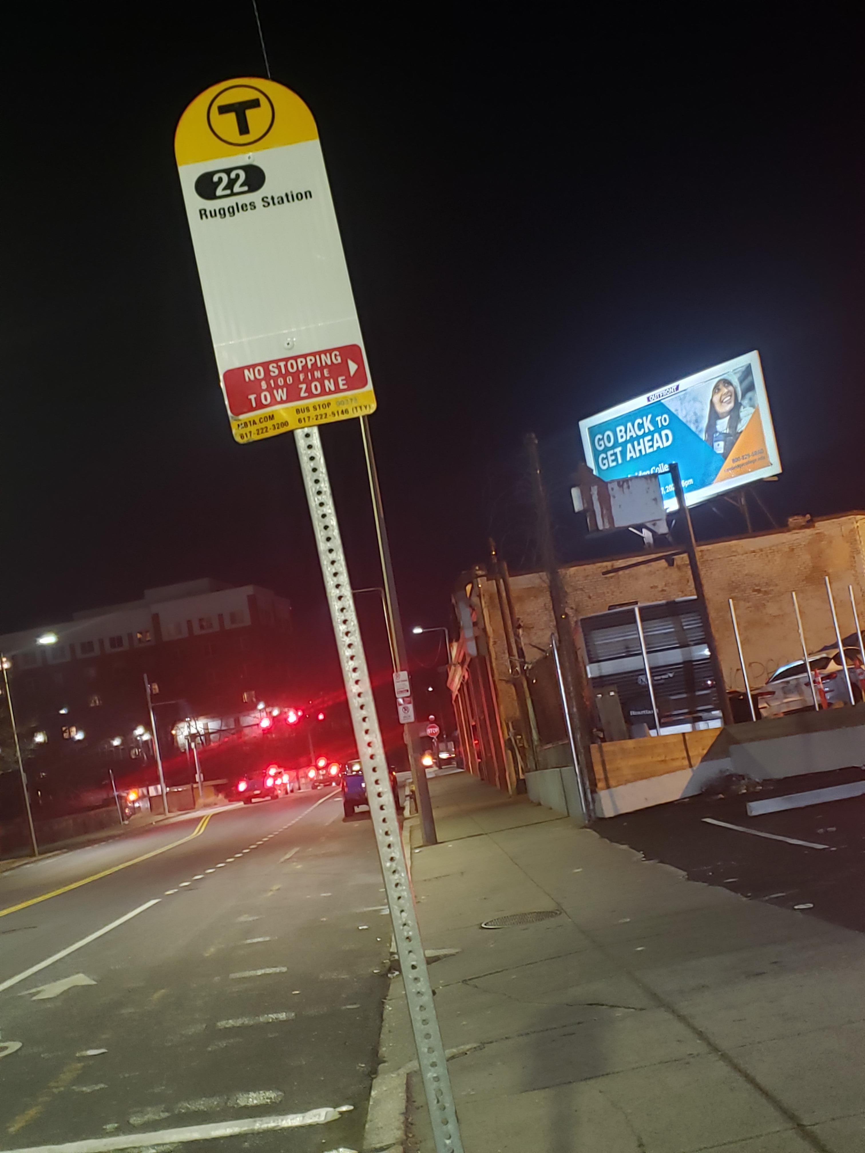 Taken by J. A.
See Talbot Ave @ Nightingale St stop, Boston, on the map
Public transit to Talbot Ave @ Nightingale St stop (ID: 378) in Boston
Looking for directions to Talbot Ave @ Nightingale St in Boston, United States?
Download the Moovit App to find the current schedule and step-by-step directions for Bus, Subway or Train routes that pass through Talbot Ave @ Nightingale St.
Looking for the stops closest to Talbot Ave @ Nightingale St? Check out this list of closest stops to your destination: Talbot Ave Opp Nightingale St; Blue Hill Ave Opp Health Ctr; American Legion Hwy @ Blue Hill Ave; Talbot Avenue.
Bus: 22, 28, 29, 14.Train: FAIRMOUNT, FRANKLIN/FOXBORO, FAIRMOUNT LINE SHUTTLE, PROVIDENCE/STOUGHTON.Subway: RED LINE.
We make riding on public transit to Talbot Ave @ Nightingale St easy, which is why over 1.7 billion users, including users in Boston, trust Moovit as the best app for public transit.
Use the app to navigate to popular places including to the airport, hospital, stadium, grocery store, mall, coffee shop, school, college, and university.
Talbot Ave @ Nightingale St stop’s code is 378
The first line to this stop is 22, at 5:11 AM, and the last line is 22 at 1:58 AM.
26-28 Talbot Avenue, Boston, MA, USA
This stop serves MBTA’s lines
- Talbot Ave Opp Nightingale St,
- Blue Hill Ave Opp Health Ctr,
- American Legion Hwy @ Blue Hill Ave
Bus stops near Talbot Ave @ Nightingale St stop
- Talbot Avenue
Train station near Talbot Ave @ Nightingale St station
- 270 Quarry St,
- Park Ave @ Cambridge St,
- Otis St @ Summer St,
- Highland Ave @ Devir St,
- Clyde St @ Whitney St,
- Huntington Ave @ Gainsborough St,
- JFK St @ Eliot St,
- Main St @ Baldwin St,
- Commuter Rail Station - Ipswich,
- Macmillan Pier, Provincetown,
- 10 Oak Park Dr,
- Andrew,
- Broadway @ Stockton St,
- Congress St @ World Trade Center Sta,
- 125 Highland Ave,
- Albany St Opp Boston Medical,
- Highland Road & Route 6, North Truro,
- Allston Street,
- Somerville Ave @ Hawkins St,
- Cabot St @ Railroad Ave