How to get to Talegaon Chakan Road by bus?
Click on the bus route to see step by step directions with maps, line arrival times and updated time schedules.
From Bajaj Auto Yamunanagar Gate, Pune & Velhe
41 minFrom Sant Tukaram Maharaj Mandir, Pune & Velhe
30 minFrom Thermax Chowk, Pune & Velhe
48 minFrom Markal, Pune & Velhe
42 minFrom Capgemini, Pune & Velhe
32 minFrom Bosch Chassis Systems India Ltd, Chakan Pune, Rajgurunagar
51 minFrom Bird Valley, Pune & Velhe
53 minFrom Talawade Road, Pune & Velhe
35 minFrom Ghoradeshwar, Pune & Velhe
46 min
Bus stops near Talegaon Chakan Road in Rajgurunagar
Bus lines to Talegaon Chakan Road in Rajgurunagar
- 120, Bhosari - Mhalunge Endurance Systems (Chakan),VIEW
- 314, Nigdi - Ambethan Gaon,VIEW
- 343, Maruti Mandir Talegaon Dabhade - Chakan Ambethan Chowk,VIEW
- 349, Bhosari - Nighoje Gaon,VIEW
- 369, Nigdi - Vasuli,VIEW
- 385, Chakan Ambethan Chowk ⟲ Chakan Ambethan Chowk (Circular),VIEW
- 343A, Bhosari - Maruti Mandir Talegaon Dabhade,VIEW
- 369A, Nigdi - Karanja Vihire ZP School,VIEW
- 343C, Samarth Vidyalaya Talegaon Dabhade To Chakan Ambethan Chowk,VIEW
- 384, Chakan Ambethan Chowk (Circular),VIEW
- 343B, Samarth Vidyalaya Talegaon Dabhade,VIEW
What are the closest stations to Talegaon Chakan Road?
The closest stations to Talegaon Chakan Road are:
- Lumax Company Gate No.2 is 123 meters away, 2 min walk.
- MIDC Phata Chakan is 1027 meters away, 14 min walk.
Which bus lines stop near Talegaon Chakan Road?
These bus lines stop near Talegaon Chakan Road: 314, 329, 385.
What’s the nearest bus station to Talegaon Chakan Road in Rajgurunagar?
The nearest bus station to Talegaon Chakan Road in Rajgurunagar is Lumax Company Gate No.2. It’s a 2 min walk away.
What time is the first bus to Talegaon Chakan Road in Rajgurunagar?
The 314 is the first bus that goes to Talegaon Chakan Road in Rajgurunagar. It stops nearby at 5:08 AM.
What time is the last bus to Talegaon Chakan Road in Rajgurunagar?
The 369 is the last bus that goes to Talegaon Chakan Road in Rajgurunagar. It stops nearby at 11:39 PM.
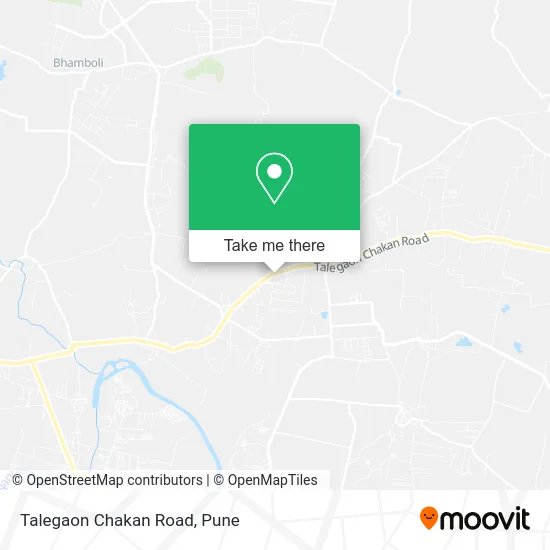
See Talegaon Chakan Road, Rajgurunagar, on the map
Public Transit to Talegaon Chakan Road in Rajgurunagar
Wondering how to get to Talegaon Chakan Road in Rajgurunagar? Moovit helps you find the best way to get to Talegaon Chakan Road with step-by-step directions from the nearest public transit station.
Moovit provides free maps and live directions to help you navigate through your city. View schedules, routes, timetables, and find out how long does it take to get to Talegaon Chakan Road in real time.
Looking for the nearest stop or station to Talegaon Chakan Road? Check out this list of stops closest to your destination: Lumax Company Gate No.2; MIDC Phata Chakan.
Bus: 314, 329, 385, 120, 343, 349, 369, 384, 343B.
Want to see if there’s another route that gets you there at an earlier time? Moovit helps you find alternative routes or times. Get directions from and directions to Talegaon Chakan Road easily from the Moovit App or Website.
We make riding to Talegaon Chakan Road easy, which is why over 1.5 million users, including users in Rajgurunagar, trust Moovit as the best app for public transit. You don’t need to download an individual bus app or train app, Moovit is your all-in-one transit app that helps you find the best bus time or train time available.
For information on prices of bus, costs and ride fares to Talegaon Chakan Road, please check the Moovit app.
Use the app to navigate to popular places including to the airport, hospital, stadium, grocery store, mall, coffee shop, school, college, and university.
Location: Rajgurunagar, Pune
- Amar Transport,
- Hotel Haveli,
- Shri Swami Samarth,
- Lumax Industries,
- Loreal India,
- VRL Logistics,
- Yashraj Industries,
- Pooja Stationery Mart,
- Shalaka Infra Tech,
- Bismillah Jilani Biryani House,
- Omkar Service,
- ICICI Bank,
- Lucas-TVS Limited, Chakan,
- New Gurukrupa Crane Services,
- Tulja Bhavani Mutton Khanawal,
- Bajaj Auto Ltd. (Chakan Plant),
- Raychem RPG,
- JBM Auto Pune,
- Mindarika,
- Dream Plast
Places Near Talegaon Chakan Road (Rajgurunagar)
- Dagadusheth Halwai Ganapati Temple, Pune & Velhe,
- M G Road, Pune & Velhe,
- Westend Mall, Pune & Velhe,
- Symbiosis Lavale Bus Stop, Pune & Velhe,
- Ion Digital Zone, Pune & Velhe,
- Fc Road, Pune & Velhe,
- ISKCON Pune, Pune & Velhe,
- Pune Okayama Friendship Garden, Pune & Velhe,
- Sarasbaug, Pune & Velhe,
- Vishwakarma Institute Of Technology (Vit), Pune & Velhe,
- Chaturshringi Temple, Pune & Velhe,
- Cognizant Deccan Campus (CDC), Paud,
- Tulshibaug, Pune & Velhe,
- Senapati Bapat Road, Pune & Velhe,
- Pvr Icon - Pavilion Mall, Pune & Velhe,
- BAPS Shri Swaminarayan Mandir, Pune & Velhe,
- Dagdusheth Halwai Ganpati Mandir, Pune & Velhe,
- Swaminarayan Mandir, Pune & Velhe,
- Laxmi Road, Pune & Velhe,
- ISKCON Nvcc Temple, Pune & Velhe
How to get to popular places in Pune with public transit
Get around Rajgurunagar by public transit!
Traveling around Rajgurunagar has never been so easy. See step by step directions as you travel to any attraction, street or major public transit station. View bus and train schedules, arrival times, service alerts and detailed routes on a map, so you know exactly how to get to anywhere in Rajgurunagar.
When traveling to any destination around Rajgurunagar use Moovit's Live Directions with Get Off Notifications to know exactly where and how far to walk, how long to wait for your line, and how many stops are left. Moovit will alert you when it's time to get off — no need to constantly re-check whether yours is the next stop.
Wondering how to use public transit in Rajgurunagar or how to pay for public transit in Rajgurunagar? Moovit public transit app can help you navigate your way with public transit easily, and at minimum cost. It includes public transit fees, ticket prices, and costs. Looking for a map of Rajgurunagar public transit lines? Moovit public transit app shows all public transit maps in Rajgurunagar with all Bus, Train and Metro routes and stops on an interactive map.
Pune has 3 transit type(s), including: Bus, Train and Metro, operated by several transit agencies, including Pune Metro (Maha Metro), PMPML, PMPML Night Bus Service (Ratrani) and Central Railways (Indian Railways)