Tallaght Hospital stop - Monday schedule
| Line | Direction | Time |
|---|---|---|
| 27 | Eden Quay | 5:25 AM |
| 82 | Sean Moore Rd | 5:38 AM |
| 27 | Clare Hall | 5:50 AM |
| 82 | Sean Moore Rd | 6:08 AM |
| 27 | Eden Quay | 6:09 AM |
| 27 | Clare Hall | 6:15 AM |
| 77A | Ringsend Road | 6:22 AM |
| 82 | Sean Moore Rd | 6:23 AM |
| 27 | Clare Hall | 6:25 AM |
| 27 | Clare Hall | 6:35 AM |
| 82 | Sean Moore Rd | 6:40 AM |
| 77A | Ringsend Road | 6:42 AM |
| 27 | Clare Hall | 6:45 AM |
| 65 | Poolbeg St | 6:49 AM |
| 82 | Sean Moore Rd | 6:55 AM |
| 27 | Clare Hall | 6:55 AM |
| 27 | Clare Hall | 7:05 AM |
| 77A | Ringsend Road | 7:05 AM |
| 82 | Sean Moore Rd | 7:10 AM |
| 65 | Poolbeg St | 7:14 AM |
| 27 | Clare Hall | 7:15 AM |
| 82 | Sean Moore Rd | 7:25 AM |
| 27 | Clare Hall | 7:25 AM |
| 77A | Ringsend Road | 7:25 AM |
| 27 | Clare Hall | 7:35 AM |
Directions to Tallaght Hospital stop with public transit
The following transit lines have routes that pass near Tallaght Hospital
 Bus: 27, 82, S6, W2, 132.
- Light Rail: RED.
How to get to Tallaght Hospital stop by bus?
Click on the bus route to see step by step directions with maps, line arrival times and updated time schedules.
Bus stops near Tallaght Hospital stop
- Tallaght Hospl, 1 min walk,
- Tallaght Hospital, 1 min walk,
- Tallaght Luas, 5 min walk,
- Tallaght Square, 7 min walk,
- Tallaght, the Square Towncentre, 8 min walk,
Light Rail stations near Tallaght Hospital station
- Hospital, 5 min walk,
Bus lines to Tallaght Hospital stop
- 132, Dublin,
- 27, Eden Quay,
- 65, Poolbeg St,
- 77A, Ringsend Road,
- 82, Kiltipper Way,
- D'OLIER STREET - CITYWEST, Corbally Vale,
- D'OLIER STREET - KILNAMANAGH, Belgard,
- W2, Liffey Valley Sc,
- S6, Blackrock Station,
- S8, Dun Laoghaire Stn,
- 126T, Rathangan,
- F1, Ikea Ballymun,
- 65A, The Square,
- SD3, Ballinascorney,
- SD4, Tallaght Luas,
- 56A, The Square,
- W4, Tallaght Square,
- W6, Tallaght Square,
- DUBLIN AIRPORT - TALLAGHT, THE SQUARE TOWNCENTRE, Zone 16,
What are the closest stations to Tallaght Hospital?
The closest stations to Tallaght Hospital are:
- Tallaght Hospl stop is 14 meters away, 1 min walk.
- Tallaght Hospital stop is 64 meters away, 1 min walk.
- Hospital station is 354 meters away, 5 min walk.
- Tallaght Luas stop is 386 meters away, 5 min walk.
- Tallaght Square stop is 550 meters away, 7 min walk.
- Tallaght, the Square Towncentre stop is 582 meters away, 8 min walk.
Which bus lines stop near Tallaght Hospital?
These bus lines stop near Tallaght Hospital: 27, 82, S6, W2.
Which light rail line stops near Tallaght Hospital?
RED (The Point→Tallaght)
What’s the nearest light rail station to Tallaght Hospital?
The nearest light rail station to Tallaght Hospital is Hospital. It’s a 5 min walk away.
What’s the nearest bus station to Tallaght Hospital?
The nearest bus stations to Tallaght Hospital are Tallaght Hospl and Tallaght Hospital. The closest one is a 1 min walk away.
What time is the first light rail to Tallaght Hospital?
The RED is the first light rail that goes to Tallaght Hospital. It stops nearby at 5:30 AM.
What time is the last light rail to Tallaght Hospital?
The RED is the last light rail that goes to Tallaght Hospital. It stops nearby at 1:18 AM.
What time is the first bus to Tallaght Hospital?
The F1 is the first bus that goes to Tallaght Hospital. It stops nearby at 3:31 AM.
What time is the last bus to Tallaght Hospital?
The F1 is the last bus that goes to Tallaght Hospital. It stops nearby at 3:54 AM.
Tallaght Hospital station
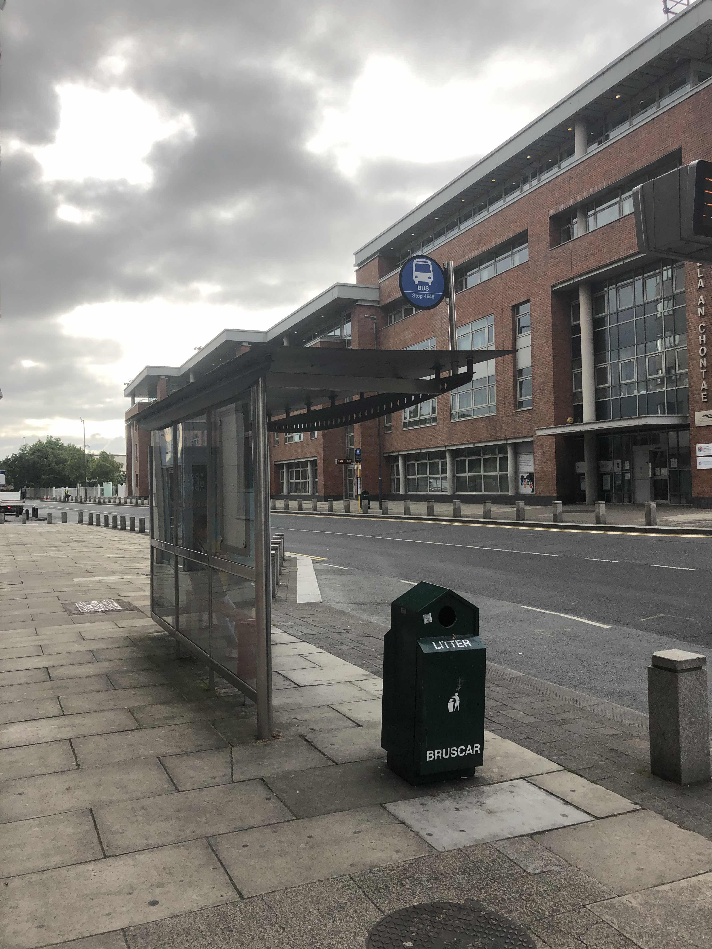 Taken by Jonathan D.
See Tallaght Hospital stop on the map
Public transit to Tallaght Hospital stop (ID: 4646)
Looking for directions to Tallaght Hospital in Tallaght, Ireland?
Download the Moovit App to find the current schedule and step-by-step directions for Bus or Light Rail routes that pass through Tallaght Hospital.
Looking for the nearest stops closest to Tallaght Hospital ? Check out this list of closest stops to your destination: Tallaght Hospl; Tallaght Hospital; Hospital; Tallaght Luas; Tallaght Square; Tallaght, the Square Towncentre.
Bus: 27, 82, S6, W2, 132, 65, 77A, D'OLIER STREET - CITYWEST, F1, 65A, SD3, SD4, 56A, W4, W6, DUBLIN AIRPORT - TALLAGHT, THE SQUARE TOWNCENTRE.Light Rail: RED.
We make riding on public transit to Tallaght Hospital easy, which is why over 1.7 billion users, including users in Tallaght trust Moovit as the best app for public transit.
Use the app to navigate to popular places including to the airport, hospital, stadium, grocery store, mall, coffee shop, school, college, and university.
Tallaght Hospital stop’s code is 4646
The first line to this stop is 27, at 5:25 AM, and the last line is 65 at 12:47 AM.
This stop serves Bus Átha Cliath – Dublin Bus’s lines
Popular routes from Tallaght Hospital stop
- Tallaght Hospl,
- Tallaght Hospital,
- Tallaght Luas,
- Tallaght Square,
- Tallaght, the Square Towncentre
Bus stops near Tallaght Hospital stop
- Hospital
Light Rail station near Tallaght Hospital station
- Clontarf Cstl,
- Church Street,
- Banagher,
- University Central,
- The Mater Hospital,
- Botanic Ave,
- Beechpark Estate,
- Willow Road,
- Dorset Street Lwr,
- Conna,
- Carrickmines, Cherrywood Flyover,
- Greystones, Rathdown Road (Blacklion Manor),
- Eden Quay,
- Killiney (Fitzpatrick Castle Hotel),
- Cabra Road,
- Alsaa Sports Club,
- South Main St,
- Schoolhouse Hotel,
- Bray Station,
- Murphystown Way
Popular public transit stations in Tallaght
Get around Tallaght by public transit!
Traveling around Tallaght has never been so easy. See step by step directions as you travel to any attraction, street or major public transit station. View bus and train schedules, arrival times, service alerts and detailed routes on a map, so you know exactly how to get to anywhere in Tallaght.
When traveling to any destination around Tallaght use Moovit's Live Directions with Get Off Notifications to know exactly where and how far to walk, how long to wait for your line, and how many stops are left. Moovit will alert you when it's time to get off — no need to constantly re-check whether yours is the next stop.
Wondering how to use public transit in Tallaght or how to pay for public transit in Tallaght? Moovit public transit app can help you navigate your way with public transit easily, and at minimum cost. It includes public transit fees, ticket prices, and costs. Looking for a map of Tallaght public transit lines? Moovit public transit app shows all public transit maps in Tallaght with all Bus, Train and Light Rail routes and stops on an interactive map.
Ireland has 3 transit type(s), including: Bus, Train and Light Rail, operated by several transit agencies, including Luas, Bus Átha Cliath – Dublin Bus, Bus Éireann, Go-Ahead Ireland, Nitelink, Dublin Bus, Citylink, City Direct, Kenneally's Bus Service, Aircoach, TFI Local Link Mayo, Irish Rail, Express Bus, JJ/Bernard Kavanagh, Dublin Coach and Kearns Transport