Tancredo Neves station - Monday schedule
| Line | Direction | Time |
|---|---|---|
| RAMAL SANTA CRUZ | Central Do Brasil (Expresso) | 3:57 AM |
| RAMAL SANTA CRUZ | Central Do Brasil (Expresso) | 4:17 AM |
| RAMAL SANTA CRUZ | Central Do Brasil (Expresso) | 4:37 AM |
| RAMAL SANTA CRUZ | Central Do Brasil (Expresso) | 4:57 AM |
| RAMAL SANTA CRUZ | Central Do Brasil (Expresso) | 5:14 AM |
| RAMAL SANTA CRUZ | Central Do Brasil (Expresso) | 5:34 AM |
| RAMAL SANTA CRUZ | Central Do Brasil (Expresso) | 5:54 AM |
| RAMAL SANTA CRUZ | Santa Cruz (Parador) | 6:03 AM |
| RAMAL SANTA CRUZ | Central Do Brasil (Expresso) | 6:14 AM |
| RAMAL SANTA CRUZ | Santa Cruz (Parador) | 6:33 AM |
| RAMAL SANTA CRUZ | Central Do Brasil (Expresso) | 6:34 AM |
| RAMAL SANTA CRUZ | Central Do Brasil (Expresso) | 6:54 AM |
| RAMAL SANTA CRUZ | Santa Cruz (Parador) | 7:03 AM |
| RAMAL SANTA CRUZ | Central Do Brasil (Expresso) | 7:15 AM |
| RAMAL SANTA CRUZ | Santa Cruz (Parador) | 7:33 AM |
| RAMAL SANTA CRUZ | Central Do Brasil (Expresso) | 7:35 AM |
| RAMAL SANTA CRUZ | Santa Cruz (Parador) | 7:53 AM |
| RAMAL SANTA CRUZ | Central Do Brasil (Expresso) | 7:55 AM |
| RAMAL SANTA CRUZ | Santa Cruz (Parador) | 8:13 AM |
| RAMAL SANTA CRUZ | Central Do Brasil (Expresso) | 8:15 AM |
| RAMAL SANTA CRUZ | Santa Cruz (Parador) | 8:33 AM |
| RAMAL SANTA CRUZ | Central Do Brasil (Expresso) | 8:35 AM |
| RAMAL SANTA CRUZ | Santa Cruz (Parador) | 8:53 AM |
| RAMAL SANTA CRUZ | Central Do Brasil (Expresso) | 8:55 AM |
| RAMAL SANTA CRUZ | Santa Cruz (Parador) | 9:13 AM |
Directions to Tancredo Neves station (Paciência) with public transit
The following transit lines have routes that pass near Tancredo Neves
 Bus: 17, 753, 840, 868, 121T.
- Train: RAMAL SANTA CRUZ.
How to get to Tancredo Neves station by bus?
Click on the bus route to see step by step directions with maps, line arrival times and updated time schedules.
How to get to Tancredo Neves station by train?
Click on the train route to see step by step directions with maps, line arrival times and updated time schedules.
Bus stops near Tancredo Neves stop in Paciência
- Estrada Urucânia, 1549-1557, 3 min walk,
- Rua Engenheiro Moacir Barbosa, 215, 4 min walk,
- Igreja Universal, 6 min walk,
- Estrada Urucânia, 1188-1276, 7 min walk,
- Avenida Cesário De Melo | Avenida Antares, 9 min walk,
Train stations near Tancredo Neves station in Paciência
- Paciência, 44 min walk,
Bus lines to Tancredo Neves station in Paciência
- 121T, Itaguaí,
- 757, Sepetiba,
- 840, São Fernando,
- SN 840, Campo Grande,
- 849, Base Aérea De Santa Cruz ✈,
- 868, Urucânia,
- 904T, Santa Cruz,
- 2309, Urucânia (Expresso),
- 753, Coelho Neto,
- 754, Terminal Deodoro,
- 756, Coelho Neto,
- SN 897, Pingo D'Água,
- 798, Urucânia,
- 825, Jesuítas,
- SN 825, Campo Grande,
- 426P, Itaguaí (Via João Xxiii),
- 570P, Itaguaí,
What are the closest stations to Tancredo Neves?
The closest stations to Tancredo Neves are:
- Estrada Urucânia, 1549-1557 stop is 215 meters away, 3 min walk.
- Rua Engenheiro Moacir Barbosa, 215 stop is 235 meters away, 4 min walk.
- Igreja Universal stop is 409 meters away, 6 min walk.
- Estrada Urucânia, 1188-1276 stop is 509 meters away, 7 min walk.
- Avenida Cesário De Melo | Avenida Antares stop is 691 meters away, 9 min walk.
- Paciência station is 3398 meters away, 44 min walk.
Which bus lines stop near Tancredo Neves?
These bus lines stop near Tancredo Neves: 17, 753, 840, 868.
Which train line stops near Tancredo Neves?
RAMAL SANTA CRUZ (Santa Cruz (Parador))
What’s the nearest bus station to Tancredo Neves in Paciência?
The nearest bus station to Tancredo Neves in Paciência is Estrada Urucânia, 1549-1557. It’s a 3 min walk away.
What time is the first train to Tancredo Neves in Paciência?
The RAMAL SANTA CRUZ is the first train that goes to Tancredo Neves in Paciência. It stops nearby at 3:52 AM.
What time is the last train to Tancredo Neves in Paciência?
The RAMAL SANTA CRUZ is the last train that goes to Tancredo Neves in Paciência. It stops nearby at 12:02 AM.
What time is the first bus to Tancredo Neves in Paciência?
The 754 is the first bus that goes to Tancredo Neves in Paciência. It stops nearby at 3:09 AM.
What time is the last bus to Tancredo Neves in Paciência?
The SN 825 is the last bus that goes to Tancredo Neves in Paciência. It stops nearby at 2:44 AM.
Tancredo Neves station
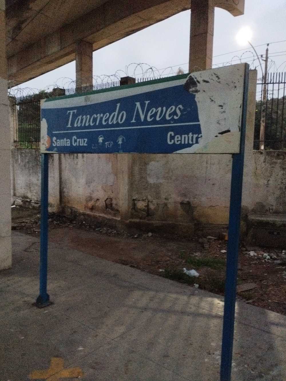 Taken by Anonymous
See Tancredo Neves station, Paciência, on the map
Public transit to Tancredo Neves station in Paciência
Looking for directions to Tancredo Neves in Paciência, Brazil?
Download the Moovit App to find the current schedule and step-by-step directions for Bus or Train routes that pass through Tancredo Neves.
Looking for the nearest stops closest to Tancredo Neves ? Check out this list of closest stops to your destination: Estrada Urucânia; Rua Engenheiro Moacir Barbosa; Igreja Universal; Estrada Urucânia; Avenida Cesário De Melo | Avenida Antares; Paciência.
Bus: 17, 753, 840, 868, 121T, 757, SN 840, 849, 754, 756, SN 897, 798, 825, SN 825, 426P, 570P.Train: RAMAL SANTA CRUZ.
We make riding on public transit to Tancredo Neves easy, which is why over 1.7 billion users, including users in Paciência trust Moovit as the best app for public transit.
Use the app to navigate to popular places including to the airport, hospital, stadium, grocery store, mall, coffee shop, school, college, and university.
The station has the following entrances: Estrada Urucânia and Rua Cyber Pôrto De Mendonça
The first line to this station is RAMAL SANTA CRUZ, at 3:57 AM, and the last line is RAMAL SANTA CRUZ at 11:56 PM.
This station serves TrensRJ’s lines
Popular routes from Tancredo Neves station, Paciência
- Estrada Urucânia, 1549-1557,
- Rua Engenheiro Moacir Barbosa, 215,
- Igreja Universal,
- Estrada Urucânia, 1188-1276,
- Avenida Cesário De Melo | Avenida Antares
Bus stops near Tancredo Neves stop
- Paciência
Train station near Tancredo Neves station
- Estácio - Santa Cruz,
- Passarela Da Barra (Sentido Itanhangá / Barrinha),
- Estação De Trem Silva Freire,
- Avenida Geremário Dantas, 526-532,
- Rua Borges De Medeiros,
- Ponto Final - Araras/Santa Luzia,
- Guilherme Da Silveira,
- Rua Saldanha Marinho, 426,
- Rua Barão De Itapagipe, 432-458,
- Avenida Carlos Marighella, 13,
- Rua Beatriz Amaral Pereira, 190,
- Av. Geremário Dantas | Center Shopping Rio,
- Estação De Belford Roxo,
- Ponto Final - Conceição De Jacareí,
- Hospital Mario Monteiro (Sentido Largo Da Batalha),
- Avenida Brasil - Passarela 20,
- Estação De Trem Engenho De Dentro,
- Estrada Rio-São Paulo (Sob O Arco Metropolitano),
- Lourenço Jorge,
- Ramos
Popular public transit stations in Paciência
Get around Paciência by public transit!
Traveling around Paciência has never been so easy. See step by step directions as you travel to any attraction, street or major public transit station. View bus and train schedules, arrival times, service alerts and detailed routes on a map, so you know exactly how to get to anywhere in Paciência.
When traveling to any destination around Paciência use Moovit's Live Directions with Get Off Notifications to know exactly where and how far to walk, how long to wait for your line, and how many stops are left. Moovit will alert you when it's time to get off — no need to constantly re-check whether yours is the next stop.
Wondering how to use public transit in Paciência or how to pay for public transit in Paciência? Moovit public transit app can help you navigate your way with public transit easily, and at minimum cost. It includes public transit fees, ticket prices, and costs. Looking for a map of Paciência public transit lines? Moovit public transit app shows all public transit maps in Paciência with all Bus, Train, Metro, Light Rail, Ferry, Cable Car, Gondola and Funicular routes and stops on an interactive map.
Rio de Janeiro Region has 8 transit type(s), including: Bus, Train, Metro, Light Rail, Ferry, Cable Car, Gondola and Funicular, operated by several transit agencies, including TrensRJ, Metrô Rio, VLT Carioca, Barcas Rio, BRT MOBI-Rio, Auto Viação Alpha, Auto Viação Tijuca, Gire Transportes, Transurb, Viação Nossa Senhora das Graças, Consórcio INTERSUL, Braso Lisboa, Caprichosa Auto Ônibus, Auto Viação Três Amigos and Rodoviária Âncora Matias