Directions to Target Mobile (Edgewater) with public transportation
The following transit lines have routes that pass near Target Mobile
 Bus: 158, 188, 755, 751, EDGEWATER TOWN SOUTH.
How to get to Target Mobile by bus?
Click on the bus route to see step by step directions with maps, line arrival times and updated time schedules.
From East 59th Street, Manhattan
58 minFrom Carlstadt, NJ, Carlstadt
64 minFrom Times Square New York City, Usa, Manhattan
40 minFrom New York Botanical Garden, Bronx
74 minFrom Museum of Ice Cream, Manhattan
68 minFrom Vessel, Manhattan
43 minFrom Hackensack Hospital, Hackensack
64 minFrom E 66th St (2nd Ave & 66th), Manhattan
78 minFrom Greene St, Manhattan
68 minFrom Village Halloween Parade, Manhattan
81 min
Bus stops near Target Mobile in Edgewater
Bus lines to Target Mobile in Edgewater
What are the closest stations to Target Mobile?
The closest stations to Target Mobile are:
- At Target is 13 yards away, 1 min walk.
- River Road & the Commons by River Club is 179 yards away, 3 min walk.
- River Rd 1325's Of Archer St is 179 yards away, 3 min walk.
Which bus lines stop near Target Mobile?
These bus lines stop near Target Mobile: 158, 188, 755.
What’s the nearest bus station to Target Mobile in Edgewater?
The nearest bus station to Target Mobile in Edgewater is At Target. It’s a 1 min walk away.
What time is the first bus to Target Mobile in Edgewater?
The 188 is the first bus that goes to Target Mobile in Edgewater. It stops nearby at 5:10 AM.
What time is the last bus to Target Mobile in Edgewater?
The 158 is the last bus that goes to Target Mobile in Edgewater. It stops nearby at 1:48 AM.
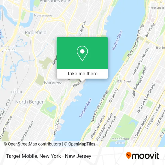
See Target Mobile, Edgewater, on the map
Public Transit to Target Mobile in Edgewater
Wondering how to get to Target Mobile in Edgewater? Moovit helps you find the best way to get to Target Mobile with step-by-step directions from the nearest public transit station.
Moovit provides free maps and live directions to help you navigate through your city. View schedules, routes, timetables, and find out how long does it take to get to Target Mobile in real time.
Looking for the nearest stop or station to Target Mobile? Check out this list of stops closest to your destination: At Target; River Road & the Commons by River Club; River Rd 1325's Of Archer St.
Bus: 158, 188, 755, 751, EDGEWATER TOWN SOUTH.
Want to see if there’s another route that gets you there at an earlier time? Moovit helps you find alternative routes or times. Get directions from and directions to Target Mobile easily from the Moovit App or Website.
We make riding to Target Mobile easy, which is why over 1.5 million users, including users in Edgewater, trust Moovit as the best app for public transit. You don’t need to download an individual bus app or train app, Moovit is your all-in-one transit app that helps you find the best bus time or train time available.
For information on prices of bus and subway, costs and ride fares to Target Mobile, please check the Moovit app.
Use the app to navigate to popular places including to the airport, hospital, stadium, grocery store, mall, coffee shop, school, college, and university.
Target Mobile Address: 543 River Rd street in Edgewater
- Cvs at Target,
- Target,
- Charlotte Tilbury,
- Spirit Bar & Restaurant,
- Mink Lashes Studio,
- Edgewater Borough Office,
- Edgewater Exxon,
- Peres L & Assoc,
- Edgewater Commons,
- Edgewater Commons at River,
- River River Rd at Edgewater,
- Edgewater, NJ,
- Atm 7eleven, Inc.,
- Subway - Edgewater,
- Sebastian Hair Studio,
- Novus Solutions Llc,
- Crysn Aesthetics Llc,
- Levels Skincare Beauty Suite,
- Sephora,
- Marshalls
Places Near Target Mobile (Edgewater)
- Mountainside Hospital, Glen Ridge,
- Times Square, Manhattan,
- 376 Hudson Street, Manhattan,
- Pier 83, Manhattan,
- Bellevue Hospital, Manhattan,
- 26 Federal Plaza, Manhattan,
- Wall Street, Manhattan,
- 111 Centre New York City Supreme Court, Manhattan,
- 3 Stone St, Manhattan,
- SoHo, Manhattan,
- Katz's Deli, Manhattan,
- Chinatown, Manhattan,
- Rockefeller Center, Manhattan,
- Hudson Yards, Manhattan,
- 66 John Street, Manhattan,
- qqqq, Manhattan,
- San Gennaro Feast, Manhattan,
- Queens Center Mall, Queens,
- 1 Police Plaza, Manhattan,
- 911 Memorial, Manhattan
How to get to popular places in New York - New Jersey with public transit
Get around Edgewater by public transit!
Traveling around Edgewater has never been so easy. See step by step directions as you travel to any attraction, street or major public transit station. View bus and train schedules, arrival times, service alerts and detailed routes on a map, so you know exactly how to get to anywhere in Edgewater.
When traveling to any destination around Edgewater use Moovit's Live Directions with Get Off Notifications to know exactly where and how far to walk, how long to wait for your line, and how many stops are left. Moovit will alert you when it's time to get off — no need to constantly re-check whether yours is the next stop.
Wondering how to use public transit in Edgewater or how to pay for public transit in Edgewater? Moovit public transit app can help you navigate your way with public transit easily, and at minimum cost. It includes public transit fees, ticket prices, and costs. Looking for a map of Edgewater public transit lines? Moovit public transit app shows all public transit maps in Edgewater with all Bus, Train, Subway, Light Rail, Ferry and Cable Car routes and stops on an interactive map.
New York - New Jersey has 6 transit type(s), including: Bus, Train, Subway, Light Rail, Ferry and Cable Car, operated by several transit agencies, including MTA Subway, Metro-North Railroad, LIRR, PATH, MTA New York City Transit - Express routes, MTA Bus, NJ Transit, NYC Ferry, NICE bus, Bee-Line Bus, NJ Transit Rail, Norwalk Transit District, Hartford Line, River Valley Transit and HART