How to get to Tasios G. Vakkas, Dds, Md by bus?
Click on the bus route to see step by step directions with maps, line arrival times and updated time schedules.
From Regeneron Pharmaceuticals Inc, Tarrytown
130 minFrom White Plains, NY, White Plains
98 minFrom New City (New), New City
186 minFrom 11A Bus to Port Authority, Spring Valley
137 minFrom Palisades mall, West Nyack
125 minFrom Peekskill, NY, Peekskill
47 minFrom Westchester Mall, White Plains
104 minFrom GFFF, Stamford
182 min
Bus stop near Tasios G. Vakkas, Dds, Md in Yorktown
- Commerce St @ Downing Dr, 3 min walk,VIEW
Bus lines to Tasios G. Vakkas, Dds, Md in Yorktown
What are the closest stations to Tasios G. Vakkas, Dds, Md?
The closest stations to Tasios G. Vakkas, Dds, Md are:
- Commerce St @ Downing Dr is 192 yards away, 3 min walk.
Which bus line stops near Tasios G. Vakkas, Dds, Md?
15 (Nelson Ave @ Main St)
What’s the nearest bus station to Tasios G. Vakkas, Dds, Md in Yorktown?
The nearest bus station to Tasios G. Vakkas, Dds, Md in Yorktown is Commerce St @ Downing Dr. It’s a 3 min walk away.
What time is the first bus to Tasios G. Vakkas, Dds, Md in Yorktown?
The 10 is the first bus that goes to Tasios G. Vakkas, Dds, Md in Yorktown. It stops nearby at 5:45 AM.
What time is the last bus to Tasios G. Vakkas, Dds, Md in Yorktown?
The 15 is the last bus that goes to Tasios G. Vakkas, Dds, Md in Yorktown. It stops nearby at 7:18 PM.
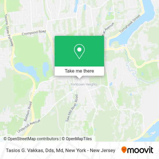
See Tasios G. Vakkas, Dds, Md, Yorktown, on the map
Public Transit to Tasios G. Vakkas, Dds, Md in Yorktown
Wondering how to get to Tasios G. Vakkas, Dds, Md in Yorktown? Moovit helps you find the best way to get to Tasios G. Vakkas, Dds, Md with step-by-step directions from the nearest public transit station.
Moovit provides free maps and live directions to help you navigate through your city. View schedules, routes, timetables, and find out how long does it take to get to Tasios G. Vakkas, Dds, Md in real time.
Looking for the nearest stop or station to Tasios G. Vakkas, Dds, Md? Check out this list of stops closest to your destination: Commerce St @ Downing Dr.
Bus: 15, 10.
Want to see if there’s another route that gets you there at an earlier time? Moovit helps you find alternative routes or times. Get directions from and directions to Tasios G. Vakkas, Dds, Md easily from the Moovit App or Website.
We make riding to Tasios G. Vakkas, Dds, Md easy, which is why over 1.5 million users, including users in Yorktown, trust Moovit as the best app for public transit. You don’t need to download an individual bus app or train app, Moovit is your all-in-one transit app that helps you find the best bus time or train time available.
For information on prices of bus and train, costs and ride fares to Tasios G. Vakkas, Dds, Md, please check the Moovit app.
Use the app to navigate to popular places including to the airport, hospital, stadium, grocery store, mall, coffee shop, school, college, and university.
Tasios G. Vakkas, Dds, Md Address: 1846 Commerce St street in Yorktown
- Brittany Pisco - Licensed Assoc Broker • William Raveis,
- Block Law,
- Yorktown Oral and Maxillofacial,
- Dr. David Ennis Md,
- Mondovi Dental - Yorktown Heights,
- Dr Navid Mootabar,
- Dr Annette Maffei, Md,
- Besselman & Consentino Llp,
- Pandora Jewelry,
- Northwell Health Physician Partners Obstetrics & Gynecology at Yorktown Heights,
- Doris Ellias, William Raveis Real Estate,
- Stoneleigh Medical Group,
- Bp,
- William Raveis Yorktown Office,
- The Kerwar Team,
- William Raveis - Noreen Parrell,
- William Raveis Real Estate - Yorktown Heights,
- Amber Thomas,
- Maria G Litrenta, Realtor, William Raveis Real Estate,
- Anna Priskie Real Estate
Places Near Tasios G. Vakkas, Dds, Md (Yorktown)
- Times Square, Manhattan,
- 911 Memorial, Manhattan,
- SoHo, Manhattan,
- 376 Hudson Street, Manhattan,
- San Gennaro Feast, Manhattan,
- Hudson Yards, Manhattan,
- Mountainside Hospital, Glen Ridge,
- Wall Street, Manhattan,
- Rockefeller Center, Manhattan,
- Queens Center Mall, Queens,
- Katz's Deli, Manhattan,
- 111 Centre New York City Supreme Court, Manhattan,
- qqqq, Manhattan,
- Pier 83, Manhattan,
- 3 Stone St, Manhattan,
- 26 Federal Plaza, Manhattan,
- 66 John Street, Manhattan,
- Chinatown, Manhattan,
- Bellevue Hospital, Manhattan,
- 1 Police Plaza, Manhattan
How to get to popular places in New York - New Jersey with public transit
Get around Yorktown by public transit!
Traveling around Yorktown has never been so easy. See step by step directions as you travel to any attraction, street or major public transit station. View bus and train schedules, arrival times, service alerts and detailed routes on a map, so you know exactly how to get to anywhere in Yorktown.
When traveling to any destination around Yorktown use Moovit's Live Directions with Get Off Notifications to know exactly where and how far to walk, how long to wait for your line, and how many stops are left. Moovit will alert you when it's time to get off — no need to constantly re-check whether yours is the next stop.
Wondering how to use public transit in Yorktown or how to pay for public transit in Yorktown? Moovit public transit app can help you navigate your way with public transit easily, and at minimum cost. It includes public transit fees, ticket prices, and costs. Looking for a map of Yorktown public transit lines? Moovit public transit app shows all public transit maps in Yorktown with all Bus, Train, Subway, Light Rail, Ferry and Cable Car routes and stops on an interactive map.
New York - New Jersey has 6 transit type(s), including: Bus, Train, Subway, Light Rail, Ferry and Cable Car, operated by several transit agencies, including MTA Subway, Metro-North Railroad, LIRR, PATH, MTA New York City Transit - Express routes, MTA Bus, NJ Transit, NYC Ferry, NICE bus, Bee-Line Bus, NJ Transit Rail, Norwalk Transit District, Hartford Line, River Valley Transit and HART