Tasker St & Broad St stop - Thursday schedule
| Line | Direction | Time |
|---|---|---|
| 29 | 33rd-Dickinson | 5:23 AM |
| 29 | 33rd-Dickinson | 5:52 AM |
| 29 | 33rd-Dickinson | 6:13 AM |
| 29 | 33rd-Dickinson | 6:33 AM |
| 29 | 33rd-Dickinson | 6:49 AM |
| 29 | 33rd-Dickinson | 7:07 AM |
| 29 | 33rd-Dickinson | 7:21 AM |
| 29 | 33rd-Dickinson | 7:31 AM |
| 29 | 33rd-Dickinson | 7:41 AM |
| 29 | 33rd-Dickinson | 7:51 AM |
| 29 | 33rd-Dickinson | 8:01 AM |
| 29 | 33rd-Dickinson | 8:13 AM |
| 29 | 33rd-Dickinson | 8:25 AM |
| 29 | 33rd-Dickinson | 8:37 AM |
| 29 | 33rd-Dickinson | 8:49 AM |
| 29 | 33rd-Dickinson | 9:01 AM |
| 29 | 33rd-Dickinson | 9:13 AM |
| 29 | 33rd-Dickinson | 9:25 AM |
| 29 | 33rd-Dickinson | 9:37 AM |
| 29 | 33rd-Dickinson | 9:49 AM |
| 29 | 33rd-Dickinson | 10:01 AM |
| 29 | 33rd-Dickinson | 10:13 AM |
| 29 | 33rd-Dickinson | 10:28 AM |
| 29 | 33rd-Dickinson | 10:43 AM |
| 29 | 33rd-Dickinson | 11:02 AM |
Directions to Tasker St & Broad St stop (Philadelphia) with public transit
The following transit lines have routes that pass near Tasker St & Broad St
 Bus: 2, 29, 37, 4, 45.
- Train: CHW, MED, NOR, PAO, TRE.
- Metro: B1.
How to get to Tasker St & Broad St stop by bus?
Click on the bus route to see step by step directions with maps, line arrival times and updated time schedules.
How to get to Tasker St & Broad St stop by train?
Click on the train route to see step by step directions with maps, line arrival times and updated time schedules.
How to get to Tasker St & Broad St stop by metro?
Click on the metro route to see step by step directions with maps, line arrival times and updated time schedules.
Bus stops near Tasker St & Broad St stop in Philadelphia
- Broad St & Tasker St, 1 min walk,
- Tasker St & 15th St, 3 min walk,
- 12th St & Tasker St , 5 min walk,
Metro stations near Tasker St & Broad St station in Philadelphia
- Snyder, 13 min walk,
Bus lines to Tasker St & Broad St stop in Philadelphia
- B1 OWL, NRG Station,
- 4, Broad-Pattison,
- 29, 33rd-Dickinson,
- 45, Broad-Oregon,
What are the closest stations to Tasker St & Broad St?
The closest stations to Tasker St & Broad St are:
- Broad St & Tasker St stop is 16 yards away, 1 min walk.
- Tasker St & 15th St stop is 161 yards away, 3 min walk.
- 12th St & Tasker St stop is 350 yards away, 5 min walk.
- Snyder station is 1095 yards away, 13 min walk.
Which bus lines stop near Tasker St & Broad St?
These bus lines stop near Tasker St & Broad St: 2, 29, 37, 4, 45.
Which train lines stop near Tasker St & Broad St?
These train lines stop near Tasker St & Broad St: CHW, MED, NOR, PAO, TRE.
Which metro line stops near Tasker St & Broad St?
B1 (NRG)
What’s the nearest metro station to Tasker St & Broad St in Philadelphia?
The nearest metro station to Tasker St & Broad St in Philadelphia is Snyder. It’s a 13 min walk away.
What’s the nearest bus station to Tasker St & Broad St in Philadelphia?
The nearest bus station to Tasker St & Broad St in Philadelphia is Broad St & Tasker St. It’s a 1 min walk away.
Tasker St & Broad St station
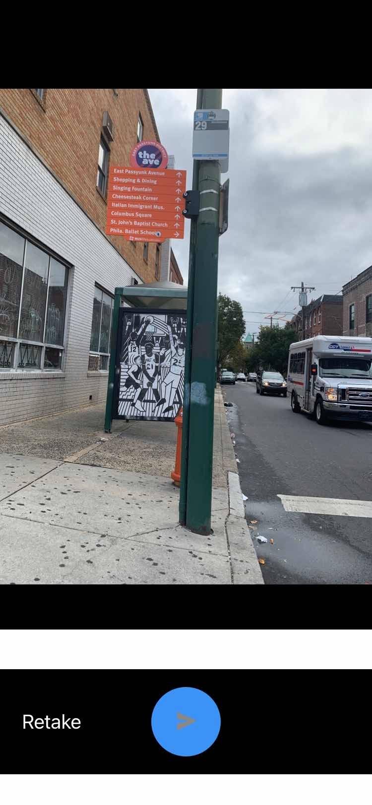 Taken by Anonymous
See Tasker St & Broad St stop, Philadelphia, on the map
Public transit to Tasker St & Broad St stop (ID: 546) in Philadelphia
Looking for directions to Tasker St & Broad St in Philadelphia, United States?
Download the Moovit App to find the current schedule and step-by-step directions for Metro, Bus or Train routes that pass through Tasker St & Broad St.
Looking for the nearest stops closest to Tasker St & Broad St ? Check out this list of closest stops to your destination: Broad St & Tasker St; Tasker St & 15th St; 12th St & Tasker St ; Snyder.
Bus: 2, 29, 37, 4, 45, B1 OWL.Train: CHW, MED, NOR, PAO, TRE.Metro: B1.
We make riding on public transit to Tasker St & Broad St easy, which is why over 1.7 billion users, including users in Philadelphia trust Moovit as the best app for public transit.
Use the app to navigate to popular places including to the airport, hospital, stadium, grocery store, mall, coffee shop, school, college, and university.
Tasker St & Broad St stop’s code is 546
The first line to this stop is 29, at 5:23 AM, and the last line is 29 at 2:12 AM.
1539 South Broad Street, Philadelphia, PA, USA
This stop serves SEPTA’s lines
- Broad St & Tasker St,
- Tasker St & 15th St,
- 12th St & Tasker St
Bus stops near Tasker St & Broad St stop
- Snyder
Metro station near Tasker St & Broad St station
- Coventry Mall,
- 22nd St & Allegheny Av,
- Olney Av & Broad St ,
- Broad St & Catharine St,
- 11th St & Tasker St,
- 12th St & Chestnut St ,
- 10th St & Duncannon Av,
- Girard Station,
- Bensalem Blvd & Gibson Rd,
- Eddystone,
- 17th St & Spruce St ,
- 16th St & Race St,
- 9th St & Pine St ,
- 9th St & Chestnut St ,
- Hog Island Rd at Ups Lot,
- Ardmore Ave Station,
- 38th St & Walnut St,
- Frankford Transportation Center,
- Radnor Chester Rd & King Prussia Rd,
- Market St & Schuylkill Av - Fs
Popular public transit stations in Philadelphia
Get around Philadelphia by public transit!
Traveling around Philadelphia has never been so easy. See step by step directions as you travel to any attraction, street or major public transit station. View bus and train schedules, arrival times, service alerts and detailed routes on a map, so you know exactly how to get to anywhere in Philadelphia.
When traveling to any destination around Philadelphia use Moovit's Live Directions with Get Off Notifications to know exactly where and how far to walk, how long to wait for your line, and how many stops are left. Moovit will alert you when it's time to get off — no need to constantly re-check whether yours is the next stop.
Wondering how to use public transit in Philadelphia or how to pay for public transit in Philadelphia? Moovit public transit app can help you navigate your way with public transit easily, and at minimum cost. It includes public transit fees, ticket prices, and costs. Looking for a map of Philadelphia public transit lines? Moovit public transit app shows all public transit maps in Philadelphia with all Bus, Train, Metro, Light Rail and Cable Car routes and stops on an interactive map.
Philadelphia has 5 transit type(s), including: Bus, Train, Metro, Light Rail and Cable Car, operated by several transit agencies, including SEPTA Subway, SEPTA Rail, SEPTA, SEPTA Trolley, NJ Transit Rail, NJ Transit, Port Authority Transit Corporation, Navy Yard, Penn Transit, Drexel University, Pottstown Area Rapid Transit (PART), Fullington Tours, Chescobus, Amtrak and Greyhound-us