How to get to Techzilla by bus?
Click on the bus route to see step by step directions with maps, line arrival times and updated time schedules.
From Fort Lauderdale Airport, Hollywood
70 minFrom North Area Transportation Terminal, Pompano Beach
105 minFrom Inter Miami CF, Fort Lauderdale
49 minFrom Broward College North Campus Bldg. 48, Pompano Beach
68 minFrom Florida Turnpike Sunrise Blvd. Toll Plaza, Plantation
62 minFrom Fort Lauderdale Tri-Rail Station, Hollywood
69 minFrom Naples, Florida, Plantation
55 minFrom State Road 7 & West Sunrise Boulevard, Fort Lauderdale
44 minFrom City of Lauderdale Lakes, Fort Lauderdale
64 minFrom Quebec-Florida Chamber of Commerce, Fort Lauderdale
69 min
Bus stop near Techzilla in Fort Lauderdale
- US 1/Northeast 26th Street, 8 min walk,VIEW
Bus lines to Techzilla in Fort Lauderdale
What are the closest stations to Techzilla?
The closest stations to Techzilla are:
- US 1/Northeast 26th Street is 600 yards away, 8 min walk.
Which bus lines stop near Techzilla?
These bus lines stop near Techzilla: 10, 20.
What’s the nearest bus station to Techzilla in Fort Lauderdale?
The nearest bus station to Techzilla in Fort Lauderdale is US 1/Northeast 26th Street. It’s a 8 min walk away.
What time is the first bus to Techzilla in Fort Lauderdale?
The 20 is the first bus that goes to Techzilla in Fort Lauderdale. It stops nearby at 5:20 AM.
What time is the last bus to Techzilla in Fort Lauderdale?
The 10 is the last bus that goes to Techzilla in Fort Lauderdale. It stops nearby at 11:45 PM.
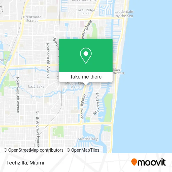
See Techzilla, Fort Lauderdale, on the map
Public Transit to Techzilla in Fort Lauderdale
Wondering how to get to Techzilla in Fort Lauderdale? Moovit helps you find the best way to get to Techzilla with step-by-step directions from the nearest public transit station.
Moovit provides free maps and live directions to help you navigate through your city. View schedules, routes, timetables, and find out how long does it take to get to Techzilla in real time.
Looking for the nearest stop or station to Techzilla? Check out this list of stops closest to your destination: US 1/Northeast 26th Street.
Bus: 10, 20.
Want to see if there’s another route that gets you there at an earlier time? Moovit helps you find alternative routes or times. Get directions from and directions to Techzilla easily from the Moovit App or Website.
We make riding to Techzilla easy, which is why over 1.5 million users, including users in Fort Lauderdale, trust Moovit as the best app for public transit. You don’t need to download an individual bus app or train app, Moovit is your all-in-one transit app that helps you find the best bus time or train time available.
For information on prices of bus, costs and ride fares to Techzilla, please check the Moovit app.
Use the app to navigate to popular places including to the airport, hospital, stadium, grocery store, mall, coffee shop, school, college, and university.
Techzilla Address: 2424 N Federal Hwy Fort Lauderdale, FL 33305 street in Fort Lauderdale
- Jenny Craig,
- The North Face,
- STARBUCKS,
- Ba Cafe,
- Metro by T-Mobile (Metro PCS),
- Asahi City 23 Japanese & Thai,
- Charlotte Tilbury,
- Rooms To Go Patio - Fort Lauderdale (Rooms To Go Outdoor),
- Coin Laundry Dry Cleaners,
- Qbar,
- Pura Vida,
- Locksmith Express,
- Blick Art Materials ,
- Getmoregirth,
- 2501 Plaza,
- The Sleep Number Store by Select Comfort,
- Blue Water Electric of S Florida,
- Anchor Yacht Rentals - Ft Lauderdale,
- Sweathouz,
- GFS Marketplace (Gordon Food Service Marketplace Store)
Places Near Techzilla (Fort Lauderdale)
- Zoo Miami, Miami,
- Aventura Mall, Miami Beach,
- Miami Design District, Miami,
- Port of Miami Cruise Terminal, Miami,
- Richard E. Gerstein Justice Building, Miami,
- Little Havana, Miami,
- Brickell City Centre, Miami,
- Bayside Marketplace, Miami,
- Sawgrass Mall, Miami,
- Miami-Dade County Courthouse, Miami,
- Hard Rock Stadium, Miami Gardens,
- Sawgrass mall ( FL ), Miami Beach,
- Dolphin Mall, Miami,
- Aventura Mall, Miami,
- Marlins Park, Miami,
- Miami VA Hospital, Miami,
- Miami Freedom Park, Miami,
- Keiser University Flagship Campus, West Palm Beach,
- Wynwood, Miami,
- Dolphin Mall Bus, Miami
How to get to popular places in Miami with public transit
Get around Fort Lauderdale by public transit!
Traveling around Fort Lauderdale has never been so easy. See step by step directions as you travel to any attraction, street or major public transit station. View bus and train schedules, arrival times, service alerts and detailed routes on a map, so you know exactly how to get to anywhere in Fort Lauderdale.
When traveling to any destination around Fort Lauderdale use Moovit's Live Directions with Get Off Notifications to know exactly where and how far to walk, how long to wait for your line, and how many stops are left. Moovit will alert you when it's time to get off — no need to constantly re-check whether yours is the next stop.
Wondering how to use public transit in Fort Lauderdale or how to pay for public transit in Fort Lauderdale? Moovit public transit app can help you navigate your way with public transit easily, and at minimum cost. It includes public transit fees, ticket prices, and costs. Looking for a map of Fort Lauderdale public transit lines? Moovit public transit app shows all public transit maps in Fort Lauderdale with all Bus, Train, Light Rail and Ferry routes and stops on an interactive map.
Miami has 4 transit type(s), including: Bus, Train, Light Rail and Ferry, operated by several transit agencies, including Broward County Transit, Miami-Dade Transit, Metrorail, Palm Tran, Tri-Rail, Brightline, MARTY, City of Homestead Trolley, Key West Transit, Treasure Coast Connector, GoLine IRT, Amtrak, Greyhound-us, FlixBus-us and Aventura Express Shuttle Bus