How to get to Tees by Design by bus?
Click on the bus route to see step by step directions with maps, line arrival times and updated time schedules.
From Inova Fair Oaks Hospital, Fairfax County
54 minFrom National Reconnaissance Office, Fairfax County
59 minFrom Fair Oaks Mall, Fairfax County
68 minFrom Dulles Expo Center, Fairfax County
72 minFrom Dulles Discovery, Fairfax County
51 minFrom Oakton, Virginia, Fairfax County
112 minFrom Northern Virginia Community College - Loudoun Campus, Loudoun County
40 minFrom Arabx Com Inc, Fairfax County
99 minFrom Ashby Ponds, Loudoun County
93 minFrom King Spa, Loudoun County
202 min
Bus stops near Tees by Design in Fairfax County
Metro station near Tees by Design in Fairfax County
- Reston Town Center, 22 min walk,VIEW
Bus lines to Tees by Design in Fairfax County
What are the closest stations to Tees by Design?
The closest stations to Tees by Design are:
- Florida Ave @ Center St is 107 yards away, 2 min walk.
- Center St @ Florida Ave is 126 yards away, 2 min walk.
- Elden St @ Center St is 701 yards away, 9 min walk.
- 1070 Elden St is 1088 yards away, 13 min walk.
- Reston Town Center is 1811 yards away, 22 min walk.
Which bus lines stop near Tees by Design?
These bus lines stop near Tees by Design: 605, 901, 924, 950.
Which metro line stops near Tees by Design?
SILVER (Ashburn)
What’s the nearest metro station to Tees by Design in Fairfax County?
The nearest metro station to Tees by Design in Fairfax County is Reston Town Center. It’s a 22 min walk away.
What’s the nearest bus station to Tees by Design in Fairfax County?
The nearest bus stations to Tees by Design in Fairfax County are Florida Ave @ Center St and Center St @ Florida Ave. The closest one is a 2 min walk away.
What time is the first metro to Tees by Design in Fairfax County?
The SILVER is the first metro that goes to Tees by Design in Fairfax County. It stops nearby at 5:04 AM.
What time is the last metro to Tees by Design in Fairfax County?
The SILVER is the last metro that goes to Tees by Design in Fairfax County. It stops nearby at 12:58 AM.
What time is the first bus to Tees by Design in Fairfax County?
The 950 is the first bus that goes to Tees by Design in Fairfax County. It stops nearby at 4:20 AM.
What time is the last bus to Tees by Design in Fairfax County?
The 950 is the last bus that goes to Tees by Design in Fairfax County. It stops nearby at 1:14 AM.
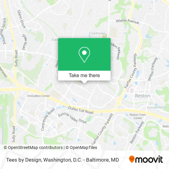
See Tees by Design, Fairfax County, on the map
Public Transit to Tees by Design in Fairfax County
Wondering how to get to Tees by Design in Fairfax County? Moovit helps you find the best way to get to Tees by Design with step-by-step directions from the nearest public transit station.
Moovit provides free maps and live directions to help you navigate through your city. View schedules, routes, timetables, and find out how long does it take to get to Tees by Design in real time.
Looking for the nearest stop or station to Tees by Design? Check out this list of stops closest to your destination: Florida Ave @ Center St; Center St @ Florida Ave; Elden St @ Center St; 1070 Elden St; Reston Town Center.
Bus: 605, 901, 924, 950, 937, 921, 553.Metro: SILVER.
Want to see if there’s another route that gets you there at an earlier time? Moovit helps you find alternative routes or times. Get directions from and directions to Tees by Design easily from the Moovit App or Website.
We make riding to Tees by Design easy, which is why over 1.5 million users, including users in Fairfax County, trust Moovit as the best app for public transit. You don’t need to download an individual bus app or train app, Moovit is your all-in-one transit app that helps you find the best bus time or train time available.
For information on prices of bus and metro, costs and ride fares to Tees by Design, please check the Moovit app.
Use the app to navigate to popular places including to the airport, hospital, stadium, grocery store, mall, coffee shop, school, college, and university.
Tees by Design Address: 576 Florida Ave Herndon, VA 20170 street in Fairfax County
- Expert Movers,
- Stainbusters Co,
- Lulús Cleaning Service's,
- The Townes at Herndon Center,
- Elys Maid,
- Handyman Brothers Ely S Maid,
- Rainey Place Designs,
- Snif Protection Solutions,
- Chatteau de April,
- 709 Lions Pride Dr,
- Herndon Guitar Lessons,
- Da Fire Place,
- 630 Center St,
- R&B Laundromat,
- Pillar To Post Home Inspectors,
- Maestro Carlot,
- Terri's Tots - Herndon,
- Pro Cleaning Service,
- Designed by Nancy Hoarau,
- Lucky's Perfection Cleaning Service
Places Near Tees by Design (Fairfax County)
- Museum Of The Bible, Washington,
- Basilica of the National Shrine, Washington,
- PG Mall, Prince George's County,
- Georgetown, Washington,
- Capital One Arena, Washington,
- Sibley Memorial Hospital, Washington,
- Washington DC VA Medical Center, Washington,
- Westfield Montgomery Mall, Montgomery County,
- Rock Creek Tennis Center, Washington,
- National Zoo, Washington,
- Camden Yards, Baltimore,
- Pennsylvania Ave NW (3rd st and pennsylvania), Washington,
- Warner Theatre, Washington,
- The Anthem, Washington,
- National Theatre, Washington,
- Marriott Marquis Washington, DC, Washington,
- M&T Bank Stadium, Baltimore,
- Amazon Hq2, Arlington County,
- Washington National Cathedral, Washington,
- National Museum of African American History and Culture, Washington
How to get to popular places in Washington, D.C. - Baltimore, MD with public transit
Get around Fairfax County by public transit!
Traveling around Fairfax County has never been so easy. See step by step directions as you travel to any attraction, street or major public transit station. View bus and train schedules, arrival times, service alerts and detailed routes on a map, so you know exactly how to get to anywhere in Fairfax County.
When traveling to any destination around Fairfax County use Moovit's Live Directions with Get Off Notifications to know exactly where and how far to walk, how long to wait for your line, and how many stops are left. Moovit will alert you when it's time to get off — no need to constantly re-check whether yours is the next stop.
Wondering how to use public transit in Fairfax County or how to pay for public transit in Fairfax County? Moovit public transit app can help you navigate your way with public transit easily, and at minimum cost. It includes public transit fees, ticket prices, and costs. Looking for a map of Fairfax County public transit lines? Moovit public transit app shows all public transit maps in Fairfax County with all Bus, Train, Metro, Light Rail and Ferry routes and stops on an interactive map.
Washington, D.C. - Baltimore, MD has 5 transit type(s), including: Bus, Train, Metro, Light Rail and Ferry, operated by several transit agencies, including WMATA, Montgomery County Ride On, Fairfax Connector, TheBus, PRTC, DASH - Alexandria, Arlington Transit (ART), RTA of Central Maryland, MDOT MTA, MDOT MTA Light RailLink, MDOT MTA Commuter Bus, MDOT MTA Local Bus, FXBGO!, Virginia Railway Express (VRE) and MARC