Temple / Occidental stop - Tuesday schedule
| Line | Direction | Time |
|---|---|---|
| 10/48 | West Hollywood | 5:36 AM |
| 10/48 | West Hollywood | 6:03 AM |
| 10/48 | Melrose - Vine | 6:30 AM |
| 10/48 | West Hollywood | 6:46 AM |
| 10/48 | West Hollywood | 6:59 AM |
| 10/48 | West Hollywood | 7:13 AM |
| 10/48 | West Hollywood | 7:26 AM |
| 10/48 | Melrose - Vine | 7:39 AM |
| 10/48 | West Hollywood | 7:51 AM |
| 10/48 | Melrose - Vine | 8:03 AM |
| 10/48 | West Hollywood | 8:15 AM |
| 10/48 | Melrose - Vine | 8:27 AM |
| 10/48 | West Hollywood | 8:38 AM |
| 10/48 | West Hollywood | 8:50 AM |
| 10/48 | Melrose - Vine | 9:02 AM |
| 10/48 | West Hollywood | 9:15 AM |
| 10/48 | Melrose - Vine | 9:29 AM |
| 10/48 | West Hollywood | 9:43 AM |
| 10/48 | Melrose - Vine | 9:57 AM |
| 10/48 | West Hollywood | 10:10 AM |
| 10/48 | Melrose - Vine | 10:25 AM |
| 10/48 | West Hollywood | 10:40 AM |
| 10/48 | Melrose - Vine | 10:55 AM |
| 10/48 | West Hollywood | 11:10 AM |
| 10/48 | Melrose - Vine | 11:25 AM |
Directions to Temple / Occidental stop (Westlake) with public transit
The following transit lines have routes that pass near Temple / Occidental
 Bus: 10/48, 14/37, 93.
- Subway: B LINE, D LINE.
How to get to Temple / Occidental stop by bus?
Click on the bus route to see step by step directions with maps, line arrival times and updated time schedules.
How to get to Temple / Occidental stop by subway?
Click on the subway route to see step by step directions with maps, line arrival times and updated time schedules.
Bus stops near Temple / Occidental stop in Westlake
- Temple / Vendome, 2 min walk,
- Beverly / Reno, 5 min walk,
- Rampart / Temple, 7 min walk,
Subway stations near Temple / Occidental station in Westlake
- Wilshire / Normandie Station, 15 min walk,
- Vermont / Santa Monica Station, 23 min walk,
Bus lines to Temple / Occidental stop in Westlake
- 10/48, Avalon Station,
- 14/37, Beverly - Western,
- 93, Grand / LATTC Station,
What are the closest stations to Temple / Occidental?
The closest stations to Temple / Occidental are:
- Temple / Vendome stop is 147 yards away, 2 min walk.
- Beverly / Reno stop is 384 yards away, 5 min walk.
- Rampart / Temple stop is 525 yards away, 7 min walk.
- Wilshire / Normandie Station is 1236 yards away, 15 min walk.
- Vermont / Santa Monica Station is 1912 yards away, 23 min walk.
Which bus lines stop near Temple / Occidental?
These bus lines stop near Temple / Occidental: 10/48, 14/37, 93.
Which subway line stops near Temple / Occidental?
B LINE (Westbound to North Hollywood)
What’s the nearest subway station to Temple / Occidental in Westlake?
The nearest subway station to Temple / Occidental in Westlake is Wilshire / Normandie Station. It’s a 15 min walk away.
What’s the nearest bus station to Temple / Occidental in Westlake?
The nearest bus station to Temple / Occidental in Westlake is Temple / Vendome. It’s a 2 min walk away.
What time is the first subway to Temple / Occidental in Westlake?
The B LINE is the first subway that goes to Temple / Occidental in Westlake. It stops nearby at 4:18 AM.
What time is the last subway to Temple / Occidental in Westlake?
The B LINE is the last subway that goes to Temple / Occidental in Westlake. It stops nearby at 12:27 AM.
What time is the first bus to Temple / Occidental in Westlake?
The 14/37 is the first bus that goes to Temple / Occidental in Westlake. It stops nearby at 3:25 AM.
What time is the last bus to Temple / Occidental in Westlake?
The 14/37 is the last bus that goes to Temple / Occidental in Westlake. It stops nearby at 3:26 AM.
Temple / Occidental station
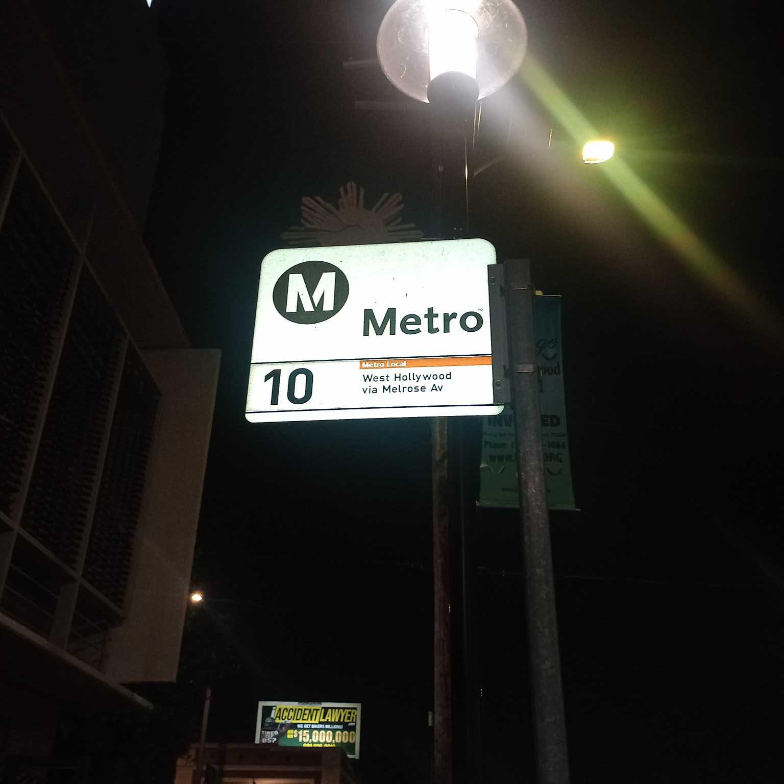 Taken by Anonymous
See Temple / Occidental stop, Westlake, on the map
Public transit to Temple / Occidental stop (ID: 16383) in Westlake
Looking for directions to Temple / Occidental in Westlake, United States?
Download the Moovit App to find the current schedule and step-by-step directions for Bus or Subway routes that pass through Temple / Occidental.
Looking for the nearest stops closest to Temple / Occidental ? Check out this list of closest stops to your destination: Temple / Vendome; Beverly / Reno; Rampart / Temple; Wilshire / Normandie Station; Vermont / Santa Monica Station.
Bus: 10/48, 14/37, 93.Subway: B LINE, D LINE.
We make riding on public transit to Temple / Occidental easy, which is why over 1.7 billion users, including users in Westlake trust Moovit as the best app for public transit.
Use the app to navigate to popular places including to the airport, hospital, stadium, grocery store, mall, coffee shop, school, college, and university.
Temple / Occidental stop’s code is 16383
The first line to this stop is 10/48, at 5:36 AM, and the last line is 10/48 at 12:29 AM.
2807 W Temple St, Los Angeles, CA, USA
This stop serves Metro’s lines
- Temple / Vendome,
- Beverly / Reno,
- Rampart / Temple
Bus stops near Temple / Occidental stop
- Wilshire / Normandie Station,
- Vermont / Santa Monica Station
Subway stations near Temple / Occidental station
- Beach / Artesia,
- 6th / Broadway,
- 10th St. W. & Ave. K,
- Martin Luther King Jr / California,
- Chicago Ns Vassar,
- Rosemead / Colorado,
- Ave 26 / Lacy,
- Avalon / El Segundo,
- Outlets at San Clemente,
- Flower St at 23rd St,
- Atlantic / Firestone,
- Maclay / Glenoaks,
- Leffingwell Rd & Carmenita Rd,
- Wilshire / Vermont Station,
- Saticoy / Topanga Canyon,
- Studebaker & Artesia SW,
- West La VA Medical Center,
- Slauson / Vermont,
- 6th / Alvarado,
- 1st / Indiana
Popular public transit stations in Westlake
Get around Westlake by public transit!
Traveling around Westlake has never been so easy. See step by step directions as you travel to any attraction, street or major public transit station. View bus and train schedules, arrival times, service alerts and detailed routes on a map, so you know exactly how to get to anywhere in Westlake.
When traveling to any destination around Westlake use Moovit's Live Directions with Get Off Notifications to know exactly where and how far to walk, how long to wait for your line, and how many stops are left. Moovit will alert you when it's time to get off — no need to constantly re-check whether yours is the next stop.
Wondering how to use public transit in Westlake or how to pay for public transit in Westlake? Moovit public transit app can help you navigate your way with public transit easily, and at minimum cost. It includes public transit fees, ticket prices, and costs. Looking for a map of Westlake public transit lines? Moovit public transit app shows all public transit maps in Westlake with all Bus, Train, Subway, Ferry and Funicular routes and stops on an interactive map.
Los Angeles has 5 transit type(s), including: Bus, Train, Subway, Ferry and Funicular, operated by several transit agencies, including Metro, Metro Event Service, Alhambra Community Transit (ACT), Arcadia Transit, Artesia Transit, AVTA, Baldwin Park Transit, Beach Cities Transit, Beaumont Transit, Bell Gardens Town Trolley, Bellflower Bus, Big Blue Bus, Burbank Bus, Calabasas Trolley and Camarillo Area Transit