How to get to Tepleko by bus?
Click on the bus route to see step by step directions with maps, line arrival times and updated time schedules.
From Rostov Research Oncology Institute, Proletarsky District
54 minFrom RAP Recreation Base Iskra, Proletarsky District
62 minFrom Pushkinskaya 211, Pervomaisky District
61 minFrom Veresaeva Street, Proletarsky District
68 minFrom Green Island, Proletarsky District
79 minFrom Veresaev Street, 98, Proletarsky District
65 min
Shuttle stations near Tepleko in Oktyabrsky District
What are the closest stations to Tepleko?
The closest stations to Tepleko are:
- Oganova Street is 227 meters away, 4 min walk.
- Taganrog Street is 303 meters away, 5 min walk.
Which bus lines stop near Tepleko?
These bus lines stop near Tepleko: 49, 99.
Which shuttle lines stop near Tepleko?
These shuttle lines stop near Tepleko: 14, 43, 99.
What’s the nearest shuttle station to Tepleko in Oktyabrsky District?
The nearest shuttle station to Tepleko in Oktyabrsky District is Oganova Street. It’s a 4 min walk away.
What time is the first bus to Tepleko in Oktyabrsky District?
The 49 is the first bus that goes to Tepleko in Oktyabrsky District. It stops nearby at 5:05 AM.
What time is the last bus to Tepleko in Oktyabrsky District?
The 96 is the last bus that goes to Tepleko in Oktyabrsky District. It stops nearby at 10:59 PM.
What time is the first shuttle to Tepleko in Oktyabrsky District?
The 14 is the first shuttle that goes to Tepleko in Oktyabrsky District. It stops nearby at 5:34 AM.
What time is the last shuttle to Tepleko in Oktyabrsky District?
The 96 is the last shuttle that goes to Tepleko in Oktyabrsky District. It stops nearby at 11:41 PM.
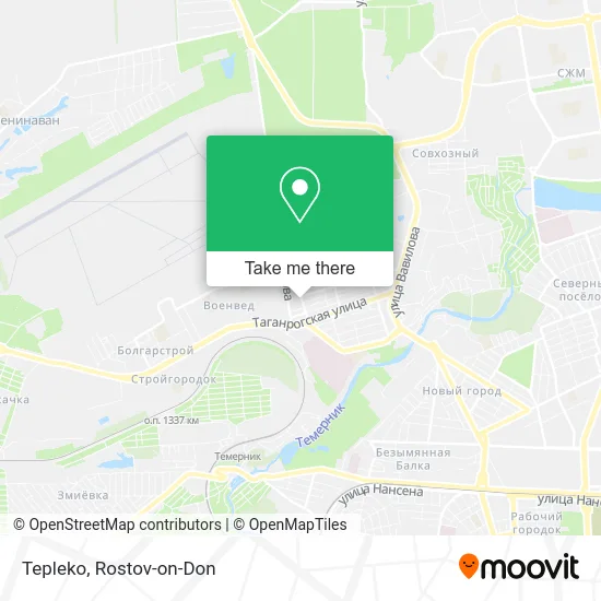
See Tepleko, Oktyabrsky District, on the map
Public Transit to Tepleko in Oktyabrsky District
Wondering how to get to Tepleko in Oktyabrsky District? Moovit helps you find the best way to get to Tepleko with step-by-step directions from the nearest public transit station.
Moovit provides free maps and live directions to help you navigate through your city. View schedules, routes, timetables, and find out how long does it take to get to Tepleko in real time.
Looking for the nearest stop or station to Tepleko? Check out this list of stops closest to your destination: Oganova Street; Taganrog Street.
Bus: 49, 99.Shuttle: 14, 43, 99, 1, 10, 10, 49, 49, 94, 94.
Want to see if there’s another route that gets you there at an earlier time? Moovit helps you find alternative routes or times. Get directions from and directions to Tepleko easily from the Moovit App or Website.
We make riding to Tepleko easy, which is why over 1.5 million users, including users in Oktyabrsky District, trust Moovit as the best app for public transit. You don’t need to download an individual bus app or train app, Moovit is your all-in-one transit app that helps you find the best bus time or train time available.
For information on prices of shuttle, bus and Trolleybus, costs and ride fares to Tepleko, please check the Moovit app.
Use the app to navigate to popular places including to the airport, hospital, stadium, grocery store, mall, coffee shop, school, college, and university.
Tepleko Address: Tepleko, Авиамоторный переулок, Ростов-на-Дону, Россия, 344069 street in Oktyabrsky District
- Tepleko,
- Oganova Street 10,
- Polyclinic 41 on Oganova,
- Drinks Raki,
- Tulskaya Street, 2,
- Aviamotornaya Street,
- Fresh Market,
- Department Store (Oganova Street),
- IP Kovalenko A.V. Shop,
- Oganova,
- Comfort Mega Service,
- Golden Ear, Cafe and Kiosk Network,
- Grocery Store Store #16,
- Antey, No, Cultural and Sports Center,
- Oganov Battery Monument,
- Aviamotornaya,
- Military Herald SKVO,
- Taganrog Street & Oganov Street,
- Oganova Street, 16,
- Oganova Street
Places Near Tepleko (Oktyabrsky District)
- Pervomayskaya Station, Sovetsky District,
- Regional Hospital #2,
- Rostov-on-Don Embankment,
- Gaidara Street, Leninsky District,
- CDC "Health", Pervomaisky District,
- Sholokhov Avenue,
- BSMP-2, Voroshilovsky District,
- Blagodatnaya Street 170, Sovetsky District,
- Sailors Hospital, Pervomaisky District,
- Pushkinskaya Street, 174, Kirovsky District,
- Rostov Regional Clinical Hospital, Sovetsky District,
- City Clinical Hospital #20, Sovetsky District,
- Shopping Center "Horizon", Voroshilovsky District,
- Temernik Market, Pervomaisky District,
- Rostov Zoo, Oktyabrsky District,
- Rostov Research Oncology Institute, Proletarsky District,
- Regional Clinical Hospital #2, Pervomaisky District,
- Central Market,
- 14 Line Street 63, Proletarsky District,
- UFPS Military Unit 71609, Pervomaisky District
How to get to popular places in Rostov-on-Don with public transit
Get around Oktyabrsky District by public transit!
Traveling around Oktyabrsky District has never been so easy. See step by step directions as you travel to any attraction, street or major public transit station. View bus and train schedules, arrival times, service alerts and detailed routes on a map, so you know exactly how to get to anywhere in Oktyabrsky District.
When traveling to any destination around Oktyabrsky District use Moovit's Live Directions with Get Off Notifications to know exactly where and how far to walk, how long to wait for your line, and how many stops are left. Moovit will alert you when it's time to get off — no need to constantly re-check whether yours is the next stop.
Wondering how to use public transit in Oktyabrsky District or how to pay for public transit in Oktyabrsky District? Moovit public transit app can help you navigate your way with public transit easily, and at minimum cost. It includes public transit fees, ticket prices, and costs. Looking for a map of Oktyabrsky District public transit lines? Moovit public transit app shows all public transit maps in Oktyabrsky District with all Bus, Light Rail, Trolleybus and Shuttle routes and stops on an interactive map.
Rostov-on-Don has 4 transit type(s), including: Bus, Light Rail, Trolleybus and Shuttle, operated by several transit agencies, including MUP MTK Rostovpassazhirtrans, MUP RTK, LLC RTK Ruseltrans and Minibuses