Terminal Setor O stop - Sunday schedule
| Line | Direction | Time |
|---|---|---|
| 0.374 | W3 Norte / SIG / EPTG | 5:20 AM |
| 0.311 | Setor O² «» W3 Sul (SIG / EPTG / Ceil. Sul-Norte) | 6:00 AM |
| 926.1 | Privê / Setor O² (Via Leste) «» Tag. Centro / Tag. Shopping (Comercial-Samdu N.) | 6:12 AM |
| 949.1 | Setor O² / M Norte / Águas Claras / Arniqueiras / ADE (Comercial-Samdu N-S / Pistão Sul) | 6:15 AM |
| 0.926 | Privê / Setor O² (Via Leste) «» Ceil. Centro-Sul / HRC (JK Shopping) | 6:41 AM |
| 926.1 | Privê / Setor O² (Via Leste) «» Tag. Centro / Tag. Shopping (Comercial-Samdu N.) | 7:02 AM |
| 0.402 | Brazlândia (DF-180) / Ceil. Centro / Tag. Centro (Comercial-Samdu N. / H. Prates) | 7:02 AM |
| 0.920 | Setor O⁴ (via Leste / Tag. Centro) | 7:19 AM |
| 0.926 | Privê / Setor O² (Via Leste) «» Ceil. Centro-Sul / HRC (JK Shopping) | 7:35 AM |
| 949.1 | Setor O² / M Norte / Águas Claras / Arniqueiras / ADE (Comercial-Samdu N-S / Pistão Sul) | 7:45 AM |
| 0.311 | Setor O² «» W3 Sul (SIG / EPTG / Ceil. Sul-Norte) | 7:50 AM |
| 0.311 | Setor O² «» W3 Sul (SIG / EPTG / Ceil. Sul-Norte) | 8:10 AM |
| 0.374 | W3 Norte / SIG / EPTG | 8:20 AM |
| 0.926 | Privê / Setor O² (Via Leste) «» Ceil. Centro-Sul / HRC (JK Shopping) | 8:25 AM |
| 926.1 | Privê / Setor O² (Via Leste) «» Tag. Centro / Tag. Shopping (Comercial-Samdu N.) | 8:31 AM |
| 949.1 | Setor O² / M Norte / Águas Claras / Arniqueiras / ADE (Comercial-Samdu N-S / Pistão Sul) | 8:40 AM |
| 0.402 | Brazlândia (DF-180) / Ceil. Centro / Tag. Centro (Comercial-Samdu N. / H. Prates) | 8:50 AM |
| 949.1 | Setor O² / M Norte / Águas Claras / Arniqueiras / ADE (Comercial-Samdu N-S / Pistão Sul) | 9:15 AM |
| 0.926 | Privê / Setor O² (Via Leste) «» Ceil. Centro-Sul / HRC (JK Shopping) | 9:15 AM |
| 926.1 | Privê / Setor O² (Via Leste) «» Tag. Centro / Tag. Shopping (Comercial-Samdu N.) | 9:26 AM |
| 0.920 | Setor O⁴ (via Leste / Tag. Centro) | 9:39 AM |
| 0.311 | Setor O² «» W3 Sul (SIG / EPTG / Ceil. Sul-Norte) | 10:00 AM |
| 0.926 | Privê / Setor O² (Via Leste) «» Ceil. Centro-Sul / HRC (JK Shopping) | 10:05 AM |
| 0.311 | Setor O² «» W3 Sul (SIG / EPTG / Ceil. Sul-Norte) | 10:20 AM |
| 949.1 | Setor O² / M Norte / Águas Claras / Arniqueiras / ADE (Comercial-Samdu N-S / Pistão Sul) | 10:20 AM |
Directions to Terminal Setor O (Ceilândia) with public transportation
The following transit lines have routes that pass near Terminal Setor O
 Bus: 0.039, 0.311, 0.808, 0.920, 0.927.
- Subway: VERDE.
How to get to Terminal Setor O by bus?
Click on the bus route to see step by step directions with maps, line arrival times and updated time schedules.
How to get to Terminal Setor O by subway?
Click on the subway route to see step by step directions with maps, line arrival times and updated time schedules.
Bus stops near Terminal Setor O in Ceilândia
- Terminal Setor O | Plataforma Dourada, 1 min walk,
- DESEMBARQUE, 3 min walk,
- Qno 14 (Terminal Setor O/Tre/Cee 2), 3 min walk,
- GAMA / SAMAMBAIA, 4 min walk,
- CIRCULARES, 4 min walk,
- BRASÍLIA, 4 min walk,
- RECANTO DAS EMAS, 5 min walk,
- Expansão Setor O - Qno 19 Conj 54 (Praça/Padaria Pão De Mel), 5 min walk,
- Via Sesc - Eqno 13/15 (Cee 2/Terminal Setor O), 6 min walk,
- Via Sesc - Qno 12 (Cee 2/Terminal Setor O), 8 min walk,
- Qno 15 Conj D, 9 min walk,
- BR-070 | Terminal Setor O / Cond. Privê, 24 min walk,
Subway station near Terminal Setor O in Ceilândia
- Ceilândia, 38 min walk,
Bus lines to Terminal Setor O in Ceilândia
- 0.927, Setor O³ (via Oeste) «» Ceil. Centro-Sul / HRC / JK Shopping,
- 0.929, Exp. Setor O / P2 Norte «» Ceil. Centro / HRC / JK Shopping,
- 929.2, Exp. Setor O «» Metrô (Estação Terminal Ceilândia),
- 929.5, Term. Setor O «» Centro de Evangelização Renascidos em Pentecostes,
- 963.1, M⁵ Norte (Setor O³ / H. Prates / IFB Taguatinga),
- 0.312, Setor O² / Ceil. Norte (via Estrutural / H. Prates),
- 0.331, Setor O³ (via Estrutural / H. Prates),
- 0.335, Exp. Setor O «» W3 Sul (SIG / Guariroba / P2 Norte),
- 0.343, Rod.P.Piloto (via Estrutural),
- 0.374, Setor O² (via SIG / EPTG / Leste),
- 0.379, Exp. Setor O / P2 Norte (via Estrutural / H. Prates),
- 0.382, Setor O² / via Leste (via Estrutural / H. Prates),
- 0.553, |SEMIEXPRESSO| Exp. Setor O «» W3 Sul (Guariroba / P2 Norte / SIG),
- 0.926, Privê / Setor O² (Via Leste) «» Ceil. Centro-Sul / HRC (JK Shopping),
- 0.949, Setor O² / M Norte / ADE / Arniqueiras / Águas Claras (Católica / Samdu-Comercial N.),
- 333.7, Exp. Setor O / P2 Norte / Águas Claras (Tag. Shopping / H. Prates / Comercial-Samdu N.),
- 333.7, Exp. Setor O / P2 Norte / Águas Claras (Tag. Shopping / Comercial-Samdu N. / H. Prates),
- 338.1, P Norte / Exp. Setor O (via Estrutural / H. Prates),
- 374.2, W3 Norte (via Estrutural),
- 379.1, W3 Norte (via EPTG / EPIA),
What are the closest stations to Terminal Setor O?
The closest stations to Terminal Setor O are:
- Terminal Setor O | Plataforma Dourada is 38 meters away, 1 min walk.
- DESEMBARQUE is 171 meters away, 3 min walk.
- Qno 14 (Terminal Setor O/Tre/Cee 2) is 192 meters away, 3 min walk.
- GAMA / SAMAMBAIA is 232 meters away, 4 min walk.
- CIRCULARES is 281 meters away, 4 min walk.
- BRASÍLIA is 283 meters away, 4 min walk.
- RECANTO DAS EMAS is 306 meters away, 5 min walk.
- Expansão Setor O - Qno 19 Conj 54 (Praça/Padaria Pão De Mel) is 360 meters away, 5 min walk.
- Via Sesc - Eqno 13/15 (Cee 2/Terminal Setor O) is 425 meters away, 6 min walk.
- Via Sesc - Qno 12 (Cee 2/Terminal Setor O) is 553 meters away, 8 min walk.
- Qno 15 Conj D is 636 meters away, 9 min walk.
- BR-070 | Terminal Setor O / Cond. Privê is 1799 meters away, 24 min walk.
- Ceilândia is 2950 meters away, 38 min walk.
Which bus lines stop near Terminal Setor O?
These bus lines stop near Terminal Setor O: 0.039, 0.311, 0.808, 0.920, 0.927, 0.957, 949.1.
Which subway line stops near Terminal Setor O?
VERDE (Ceilândia)
What’s the nearest bus station to Terminal Setor O in Ceilândia?
The nearest bus station to Terminal Setor O in Ceilândia is Terminal Setor O | Plataforma Dourada. It’s a 1 min walk away.
What time is the first subway to Terminal Setor O in Ceilândia?
The VERDE is the first subway that goes to Terminal Setor O in Ceilândia. It stops nearby at 5:30 AM.
What time is the last subway to Terminal Setor O in Ceilândia?
The VERDE is the last subway that goes to Terminal Setor O in Ceilândia. It stops nearby at 12:19 AM.
What time is the first bus to Terminal Setor O in Ceilândia?
The 0.415 is the first bus that goes to Terminal Setor O in Ceilândia. It stops nearby at 3:30 AM.
What time is the last bus to Terminal Setor O in Ceilândia?
The 0.335 is the last bus that goes to Terminal Setor O in Ceilândia. It stops nearby at 1:37 AM.
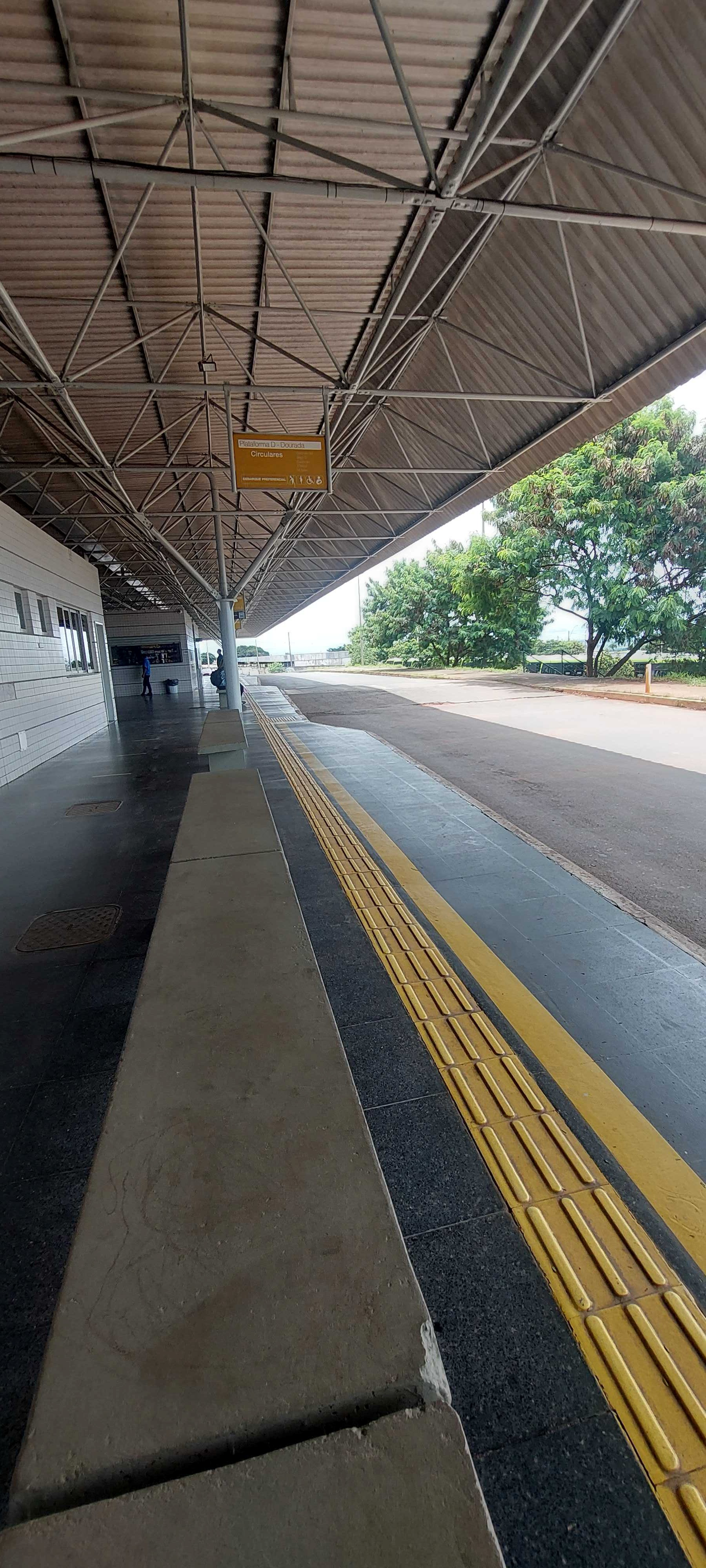
Terminal Setor O station
 Taken by Anonymous
See Terminal Setor O, Ceilândia, on the map
Public transit to Terminal Setor O stop (ID: 1410) in Ceilândia
Looking for directions to Terminal Setor O in Ceilândia, Brazil?
Download the Moovit App to find the current schedule and step-by-step directions for Bus or Subway routes that pass through Terminal Setor O.
Looking for the nearest stops closest to Terminal Setor O ? Check out this list of closest stops to your destination: Terminal Setor O | Plataforma Dourada; DESEMBARQUE; Qno 14 (Terminal Setor O/Tre/Cee 2); GAMA / SAMAMBAIA; CIRCULARES; BRASÍLIA; RECANTO DAS EMAS; Expansão Setor O - Qno 19 Conj 54 (Praça/Padaria Pão De Mel); Via Sesc - Eqno 13/15 (Cee 2/Terminal Setor O); Via Sesc - Qno 12 (Cee 2/Terminal Setor O); Qno 15 Conj D; BR-070 | Terminal Setor O / Cond. Privê; Ceilândia.
Bus: 0.039, 0.311, 0.808, 0.920, 0.927, 0.957, 949.1, 0.929, 929.2, 929.5, 963.1, 0.312, 0.331, 0.335, 0.343, 0.374, 0.334, 0.338, 0.341, 0.341, 0.225, 0.253, 0.273, 0.397, 0.397, 0.353, 0.362, 0.450, 0.886, 0.886.Subway: VERDE.
We make riding on public transit to Terminal Setor O easy, which is why over 1.5 million users, including users in Ceilândia trust Moovit as the best app for public transit.
Use the app to navigate to popular places including to the airport, hospital, stadium, grocery store, mall, coffee shop, school, college, and university.
Terminal Setor O stop’s code is 1410
The first line to this stop is 0.374, at 5:20 AM, and the last line is 0.920 at 12:09 AM.
This stop serves Área 5 - BsBus Mobilidade’s lines
Popular routes from Terminal Setor O, Ceilândia
- Terminal Setor O | Plataforma Dourada,
- DESEMBARQUE,
- Qno 14 (Terminal Setor O/Tre/Cee 2),
- GAMA / SAMAMBAIA,
- CIRCULARES,
- BRASÍLIA,
- RECANTO DAS EMAS,
- Expansão Setor O - Qno 19 Conj 54 (Praça/Padaria Pão De Mel),
- Via Sesc - Eqno 13/15 (Cee 2/Terminal Setor O),
- Via Sesc - Qno 12 (Cee 2/Terminal Setor O),
- Qno 15 Conj D,
- BR-070 | Terminal Setor O / Cond. Privê
Bus stops near Terminal Setor O
- Ceilândia
Subway station near Terminal Setor O
- Rua 3 - Jardim De Ala,
- H. Prates | Fort Atacadista / Estação Ceilândia Centro,
- Qr 518,
- SCES | AABB,
- Br-060 Samambaia (Q 527/Terminal Samambaia Sul),
- EPNB | ADE (Posto Shell),
- Br-070,
- Terminal Gama Sul,
- BR-070 | Reservatório de Água CAESB,
- Vila Rcg - Dos Sargentos,
- Terminal Do Lago Azul,
- Av. Riacho Fundo | CLS 4 (Bradesco),
- 2ª Av. Norte | Qr 404 (Superbom Supermercado),
- Br 040 | Monumento Solaris / Total Ville,
- SIA Tr. 3 | Bali Fiat,
- Qnm 36 (Ubs 7),
- Via Ceil.Sul - Qnm 13 (Cem 3/Cras),
- Praça Da Conquista,
- Br-060 Samambaia (Q 527/Terminal Samambaia Sul),
- Terminal Jardins Mangueiral
Popular public transit stations in Ceilândia
Get around Ceilândia by public transit!
Traveling around Ceilândia has never been so easy. See step by step directions as you travel to any attraction, street or major public transit station. View bus and train schedules, arrival times, service alerts and detailed routes on a map, so you know exactly how to get to anywhere in Ceilândia.
When traveling to any destination around Ceilândia use Moovit's Live Directions with Get Off Notifications to know exactly where and how far to walk, how long to wait for your line, and how many stops are left. Moovit will alert you when it's time to get off — no need to constantly re-check whether yours is the next stop.
Wondering how to use public transit in Ceilândia or how to pay for public transit in Ceilândia? Moovit public transit app can help you navigate your way with public transit easily, and at minimum cost. It includes public transit fees, ticket prices, and costs. Looking for a map of Ceilândia public transit lines? Moovit public transit app shows all public transit maps in Ceilândia with all Bus and Subway routes and stops on an interactive map.
Brasilia Region has 2 transit type(s), including: Bus and Subway, operated by several transit agencies, including Metrô DF, Área 3 - Urbi, Área 2 - Pioneira, Área 1 - Piracicabana, Área 4 - Marechal, Área 5 - BsBus Mobilidade, STPCR - Serviço de Transporte Público Complementar Rural, TCB, Coobrataete, SEMOB - Secretaria de Transporte e Mobilidade do Distrito Federal, Expresso Planalto (MUNICIPAL), Amazônia Inter - (SEMIURBANO), Rede SARAH de Hospitais, Catedral (SEMIURBANO) and CT Expresso (SEMIURBANO)