Directions to Terra Graphics (Jenks) with public transportation
The following transit lines have routes that pass near Terra Graphics
 Bus: 500.
How to get to Terra Graphics by bus?
Click on the bus route to see step by step directions with maps, line arrival times and updated time schedules.
From BMO Bank of Montreal, Tulsa
55 minFrom STARBUCKS, Tulsa
53 minFrom $5.99 or Less Store - Tulsa, Tulsa
93 minFrom JLM Painting, Tulsa
82 minFrom Cindies Tulsa, Tulsa
81 minFrom Siemens Medical Solutions Health Services Corporation, Tulsa
62 minFrom A Caring Alternative, Tulsa
79 minFrom Xavier Building at Saint Francis Hospital, Tulsa
64 minFrom The Standard Beauty Bar, Tulsa
103 min
Bus stop near Terra Graphics in Jenks
- (7112) Elm St & F Street Eb, 3 min walk,VIEW
Bus lines to Terra Graphics in Jenks
- 500, (0354) Olympia Ave & Lowes Nb - (9015)81,VIEW
What are the closest stations to Terra Graphics?
The closest stations to Terra Graphics are:
- (7112) Elm St & F Street Eb is 218 yards away, 3 min walk.
Which bus line stops near Terra Graphics?
500 ((9015)81st & Yorktown Wb - (0354) Olympi)
What’s the nearest bus station to Terra Graphics in Jenks?
The nearest bus station to Terra Graphics in Jenks is (7112) Elm St & F Street Eb. It’s a 3 min walk away.
What time is the first bus to Terra Graphics in Jenks?
The 500 is the first bus that goes to Terra Graphics in Jenks. It stops nearby at 6:59 AM.
What time is the last bus to Terra Graphics in Jenks?
The 500 is the last bus that goes to Terra Graphics in Jenks. It stops nearby at 6:26 PM.
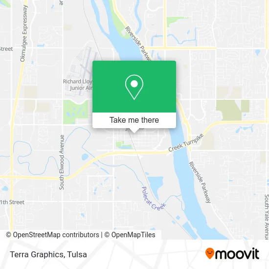
See Terra Graphics, Jenks, on the map
Public Transit to Terra Graphics in Jenks
Wondering how to get to Terra Graphics in Jenks? Moovit helps you find the best way to get to Terra Graphics with step-by-step directions from the nearest public transit station.
Moovit provides free maps and live directions to help you navigate through your city. View schedules, routes, timetables, and find out how long does it take to get to Terra Graphics in real time.
Looking for the nearest stop or station to Terra Graphics? Check out this list of stops closest to your destination: (7112) Elm St & F Street Eb.
Bus: 500.
Want to see if there’s another route that gets you there at an earlier time? Moovit helps you find alternative routes or times. Get directions from and directions to Terra Graphics easily from the Moovit App or Website.
We make riding to Terra Graphics easy, which is why over 1.5 million users, including users in Jenks, trust Moovit as the best app for public transit. You don’t need to download an individual bus app or train app, Moovit is your all-in-one transit app that helps you find the best bus time or train time available.
For information on prices of bus, costs and ride fares to Terra Graphics, please check the Moovit app.
Use the app to navigate to popular places including to the airport, hospital, stadium, grocery store, mall, coffee shop, school, college, and university.
Terra Graphics Address: 122 S 2nd St Jenks, OK 74037 street in Jenks
- DJ Kennedy Mobile DJ & Karaoke,
- The Hive Jenks,
- Christian Karate & Jiu-Jitsu Academy Jenks,
- Bridges Mercantile,
- A+ Roofing Solutions,
- City Hall Steak & Cocktail,
- Spring Land,
- Anthem Road Academy,
- Nationwide Insurance,
- Lodge Eatery and Pub,
- Reds Mercantile,
- White Birch Boutique,
- Phillips Slaughter Rose,
- Social Jenks,
- Hannah Hudgins-Montilla, Nurse Practitioner,
- Village Antiques,
- Fusion Salon,
- Woolman Properties,
- Jenks Downtown Commons,
- Jenks, OK
Places Near Terra Graphics (Jenks)
- Saint Francis Hospital, Tulsa,
- St. Francis Hospital Outpatient Infusion, Tulsa,
- Hard Rock Casino, Tulsa,
- Alagon Spa (Olympus Spa), Tulsa,
- Walmart, Tulsa,
- Osage Casino, Tulsa,
- 71st & Memorial, Tulsa,
- Amazon Fulfillment Center-TUL2, Tulsa,
- Broken Arrow, OK, Broken Arrow,
- Tulsa Ok, Tulsa,
- Plaza Santa Cecilia, Tulsa,
- Bixby, OK, Bixby,
- River Spirit Casino, Tulsa,
- St Francis South Cardinal Building, Tulsa,
- Tulsa State Fair, Tulsa,
- Woodland Hills Mall, Tulsa,
- Zavala Plus, Tulsa,
- Tulsa Zoo, Tulsa,
- S Garnett Rd / E 21st St, Tulsa,
- Fallout Shelter, Tulsa
How to get to popular places in Tulsa with public transit
Get around Jenks by public transit!
Traveling around Jenks has never been so easy. See step by step directions as you travel to any attraction, street or major public transit station. View bus and train schedules, arrival times, service alerts and detailed routes on a map, so you know exactly how to get to anywhere in Jenks.
When traveling to any destination around Jenks use Moovit's Live Directions with Get Off Notifications to know exactly where and how far to walk, how long to wait for your line, and how many stops are left. Moovit will alert you when it's time to get off — no need to constantly re-check whether yours is the next stop.
Wondering how to use public transit in Jenks or how to pay for public transit in Jenks? Moovit public transit app can help you navigate your way with public transit easily, and at minimum cost. It includes public transit fees, ticket prices, and costs. Looking for a map of Jenks public transit lines? Moovit public transit app shows all public transit maps in Jenks with all bus routes and stops on an interactive map.
Tulsa has 1 transit type(s), including: bus, operated by several transit agencies, including MetroLink Tulsa and Greyhound-us