How to get to Terralex by bus?
Click on the bus route to see step by step directions with maps, line arrival times and updated time schedules.
From NW 183rd St / NW 7th Ave, Miami Gardens
52 minFrom NW 95th St / NW 17th Ave, Miami
76 minFrom Broward/Miami-Dade County Border, Miami Gardens
69 minFrom Conchitas Transit Express, Hialeah
53 minFrom Camillus House, Miami
83 minFrom Miami Springs, FL, Miami
72 minFrom NW 79th St / NW 32nd Ave, Miami
79 minFrom Bang Bros., North Westside
45 minFrom Social Security Administration, Miramar-Pembroke Pines
119 minFrom Walmart, Miami
79 min
Bus stops near Terralex in Hialeah
What are the closest stations to Terralex?
The closest stations to Terralex are:
- Nw 67 Av & Main St is 96 yards away, 2 min walk.
- Nw 60 Av & Miami Lakes Dr is 1290 yards away, 16 min walk.
Which bus lines stop near Terralex?
These bus lines stop near Terralex: 183, 37.
What’s the nearest bus station to Terralex in Hialeah?
The nearest bus station to Terralex in Hialeah is Nw 67 Av & Main St. It’s a 2 min walk away.
What time is the first bus to Terralex in Hialeah?
The 37 is the first bus that goes to Terralex in Hialeah. It stops nearby at 4:04 AM.
What time is the last bus to Terralex in Hialeah?
The 37 is the last bus that goes to Terralex in Hialeah. It stops nearby at 12:37 AM.
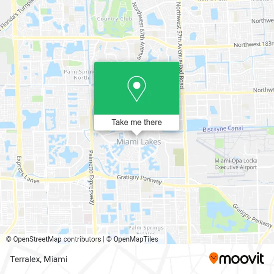
See Terralex, Hialeah, on the map
Public Transit to Terralex in Hialeah
Wondering how to get to Terralex in Hialeah? Moovit helps you find the best way to get to Terralex with step-by-step directions from the nearest public transit station.
Moovit provides free maps and live directions to help you navigate through your city. View schedules, routes, timetables, and find out how long does it take to get to Terralex in real time.
Looking for the nearest stop or station to Terralex? Check out this list of stops closest to your destination: Nw 67 Av & Main St; Nw 60 Av & Miami Lakes Dr.
Bus: 183, 37.
Want to see if there’s another route that gets you there at an earlier time? Moovit helps you find alternative routes or times. Get directions from and directions to Terralex easily from the Moovit App or Website.
We make riding to Terralex easy, which is why over 1.7 million users, including users in Hialeah, trust Moovit as the best app for public transit. You don’t need to download an individual bus app or train app, Moovit is your all-in-one transit app that helps you find the best bus time or train time available.
For information on prices of bus and train, costs and ride fares to Terralex, please check the Moovit app.
Use the app to navigate to popular places including to the airport, hospital, stadium, grocery store, mall, coffee shop, school, college, and university.
Terralex Address: 15175 NW 67th Ave Ste 207 street in Hialeah
- Barbara Goleman Senior High School's,
- Northwest 67th Avenue & Miami Lakes Drive,
- Bless My Mind Aba Therapy,
- Miami Lakes Congregational Church the Growing Place,
- Miami Lakes Middle school,
- Maimi Lakes K-8 Center (Miami-Dade County Public Schools Miami Lakes K 8 Center),
- 14740 NW 60th Ave,
- Miami Lakes,
- 20,
- Miami Lakes Educational Center,
- Quick Towing & Recovery,
- Family Central,
- Dade Christian School,
- Vista Memorial Gardens & Funeral Home,
- Costco,
- W 84th St / W 8th Ave,
- NW 67th Ave / NW 169th St,
- Cape Coral Insure,
- President Supermarket (Presidente Supermarket 2),
- NW 154th Miami Lakes Dr.
Places Near Terralex (Hialeah)
- Miami VA Hospital, Miami,
- Aventura Mall, Miami Beach,
- Miami Design District, Miami,
- Zoo Miami, Miami,
- Wynwood, Miami,
- Aventura Mall, Miami,
- Sawgrass mall ( FL ), Miami Beach,
- Bayside Marketplace, Miami,
- Sawgrass Mall, Miami,
- Keiser University Flagship Campus, West Palm Beach,
- Dolphin Mall, Miami,
- Miami-Dade County Courthouse, Miami,
- Marlins Park, Miami,
- Miami Freedom Park, Miami,
- Brickell City Centre, Miami,
- Little Havana, Miami,
- Port of Miami Cruise Terminal, Miami,
- Hard Rock Stadium, Miami Gardens,
- Dolphin Mall Bus, Miami,
- Richard E. Gerstein Justice Building, Miami
How to get to popular places in Miami with public transit
Get around Hialeah by public transit!
Traveling around Hialeah has never been so easy. See step by step directions as you travel to any attraction, street or major public transit station. View bus and train schedules, arrival times, service alerts and detailed routes on a map, so you know exactly how to get to anywhere in Hialeah.
When traveling to any destination around Hialeah use Moovit's Live Directions with Get Off Notifications to know exactly where and how far to walk, how long to wait for your line, and how many stops are left. Moovit will alert you when it's time to get off — no need to constantly re-check whether yours is the next stop.
Wondering how to use public transit in Hialeah or how to pay for public transit in Hialeah? Moovit public transit app can help you navigate your way with public transit easily, and at minimum cost. It includes public transit fees, ticket prices, and costs. Looking for a map of Hialeah public transit lines? Moovit public transit app shows all public transit maps in Hialeah with all Bus, Train, Light Rail and Ferry routes and stops on an interactive map.
Miami has 4 transit type(s), including: Bus, Train, Light Rail and Ferry, operated by several transit agencies, including Broward County Transit, Miami-Dade Transit, Metrorail, Palm Tran, Tri-Rail, Brightline, MARTY, City of Homestead Trolley, Key West Transit, Treasure Coast Connector, GoLine IRT, Amtrak, Greyhound-us, FlixBus-us and Aventura Express Shuttle Bus