How to get to Thank-U Insurance by bus?
Click on the bus route to see step by step directions with maps, line arrival times and updated time schedules.
From Exit 1/Florida City/S, Homestead
49 minFrom Herbert Ammons Middle School, Kendale Lakes-Tamiami
77 minFrom US 1@SW 248 St, Princeton-Goulds
32 minFrom Florida City, Homestead
28 minFrom Zoo Miami, Kendale Lakes-Tamiami
105 minFrom Robert Morgan Educational Center, Kendale Lakes-Tamiami
66 minFrom Eureka Drive & U.S. 1, Kendall-Palmetto Bay
45 minFrom Florida Keys Outlet Marketplace, Homestead
45 minFrom Florida City, FL, Homestead
27 minFrom Cutler Bay, FL, Princeton-Goulds
88 min
Bus stops near Thank-U Insurance in Homestead
Bus lines to Thank-U Insurance in Homestead
What are the closest stations to Thank-U Insurance?
The closest stations to Thank-U Insurance are:
- Sw 288 St @ Old Dixie Hy is 229 yards away, 4 min walk.
- Avocado Dr Station is 1105 yards away, 13 min walk.
- Sw 157 Av @ Sw 296 St is 1335 yards away, 16 min walk.
Which bus lines stop near Thank-U Insurance?
These bus lines stop near Thank-U Insurance: 601, 70.
What’s the nearest bus station to Thank-U Insurance in Homestead?
The nearest bus station to Thank-U Insurance in Homestead is Sw 288 St @ Old Dixie Hy. It’s a 4 min walk away.
What time is the first bus to Thank-U Insurance in Homestead?
The 601 is the first bus that goes to Thank-U Insurance in Homestead. It stops nearby at 4:11 AM.
What time is the last bus to Thank-U Insurance in Homestead?
The 601 is the last bus that goes to Thank-U Insurance in Homestead. It stops nearby at 12:44 AM.
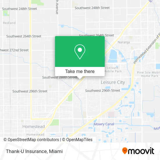
See Thank-U Insurance, Homestead, on the map
Public Transit to Thank-U Insurance in Homestead
Wondering how to get to Thank-U Insurance in Homestead? Moovit helps you find the best way to get to Thank-U Insurance with step-by-step directions from the nearest public transit station.
Moovit provides free maps and live directions to help you navigate through your city. View schedules, routes, timetables, and find out how long does it take to get to Thank-U Insurance in real time.
Looking for the nearest stop or station to Thank-U Insurance? Check out this list of stops closest to your destination: Sw 288 St @ Old Dixie Hy; Avocado Dr Station; Sw 157 Av @ Sw 296 St.
Bus: 601, 70, 35.
Want to see if there’s another route that gets you there at an earlier time? Moovit helps you find alternative routes or times. Get directions from and directions to Thank-U Insurance easily from the Moovit App or Website.
We make riding to Thank-U Insurance easy, which is why over 1.5 million users, including users in Homestead, trust Moovit as the best app for public transit. You don’t need to download an individual bus app or train app, Moovit is your all-in-one transit app that helps you find the best bus time or train time available.
For information on prices of bus, costs and ride fares to Thank-U Insurance, please check the Moovit app.
Use the app to navigate to popular places including to the airport, hospital, stadium, grocery store, mall, coffee shop, school, college, and university.
Thank-U Insurance Address: 28856 S Dixie Hwy Homestead, FL 33033 street in Homestead
- Jkare,
- Yummy and Healthy Choice,
- Chivas Burger,
- Miami Roasted Corn,
- Ultimate Diagnostic Center,
- 305-No-Fault,
- Boost Mobile,
- Mi Cocina Hondurena,
- Opat,
- Key Food,
- Mortgage Experts,
- T-Mobile,
- Los Abuelos Felices,
- Florist Homestead,
- Three Virtues Organization,
- Rainbow 69 Novelty Store / Smoke-Shop,
- Caribbean Ink: Tattoo & Piercing,
- Latin Maid,
- Coral Castle,
- Demetra Hicks
Places Near Thank-U Insurance (Homestead)
- Aventura Mall, Miami Beach,
- Keiser University Flagship Campus, West Palm Beach,
- Miami Design District, Miami,
- Little Havana, Miami,
- Brickell City Centre, Miami,
- Aventura Mall, Miami,
- Dolphin Mall, Miami,
- Sawgrass Mall, Miami,
- Zoo Miami, Miami,
- Dolphin Mall Bus, Miami,
- Miami-Dade County Courthouse, Miami,
- Hard Rock Stadium, Miami Gardens,
- Miami Freedom Park, Miami,
- Wynwood, Miami,
- Sawgrass mall ( FL ), Miami Beach,
- Miami VA Hospital, Miami,
- Bayside Marketplace, Miami,
- Marlins Park, Miami,
- Richard E. Gerstein Justice Building, Miami,
- Port of Miami Cruise Terminal, Miami
How to get to popular places in Miami with public transit
Get around Homestead by public transit!
Traveling around Homestead has never been so easy. See step by step directions as you travel to any attraction, street or major public transit station. View bus and train schedules, arrival times, service alerts and detailed routes on a map, so you know exactly how to get to anywhere in Homestead.
When traveling to any destination around Homestead use Moovit's Live Directions with Get Off Notifications to know exactly where and how far to walk, how long to wait for your line, and how many stops are left. Moovit will alert you when it's time to get off — no need to constantly re-check whether yours is the next stop.
Wondering how to use public transit in Homestead or how to pay for public transit in Homestead? Moovit public transit app can help you navigate your way with public transit easily, and at minimum cost. It includes public transit fees, ticket prices, and costs. Looking for a map of Homestead public transit lines? Moovit public transit app shows all public transit maps in Homestead with all Bus, Train, Light Rail and Ferry routes and stops on an interactive map.
Miami has 4 transit type(s), including: Bus, Train, Light Rail and Ferry, operated by several transit agencies, including Broward County Transit, Miami-Dade Transit, Metrorail, Palm Tran, Tri-Rail, Brightline, MARTY, City of Homestead Trolley, Key West Transit, Treasure Coast Connector, GoLine IRT, Amtrak, Greyhound-us, FlixBus-us and Aventura Express Shuttle Bus