How to get to The Backyard Bar by bus?
Click on the bus route to see step by step directions with maps, line arrival times and updated time schedules.
From Orlando Florida, Homestead
252 minFrom Walmart (Walmart Florida City), Homestead
252 minFrom Florida Keys Outlet Center, Homestead
258 minFrom Hyatt Residence Club-Key West Windward Pointe, Key West
58 minFrom Florida Keys Outlet Marketplace, Homestead
258 minFrom Fairfield Inn & Suites by Marriott Key West at the Keys Collection, Key West
33 minFrom Florida City, FL, Homestead
254 minFrom Florida City, Homestead
251 minFrom SW 187th Ave / SW 344th St, Homestead
263 min
Bus stops near The Backyard Bar in Key West
Bus lines to The Backyard Bar in Key West
What are the closest stations to The Backyard Bar?
The closest stations to The Backyard Bar are:
- Whitehead & Southard is 205 yards away, 3 min walk.
- Petronia & Whitehead is 302 yards away, 4 min walk.
Which bus lines stop near The Backyard Bar?
These bus lines stop near The Backyard Bar: LKS, WFX.
What’s the nearest bus station to The Backyard Bar in Key West?
The nearest bus station to The Backyard Bar in Key West is Whitehead & Southard. It’s a 3 min walk away.
What time is the first bus to The Backyard Bar in Key West?
The LKS is the first bus that goes to The Backyard Bar in Key West. It stops nearby at 5:40 AM.
What time is the last bus to The Backyard Bar in Key West?
The DL is the last bus that goes to The Backyard Bar in Key West. It stops nearby at 10:30 PM.
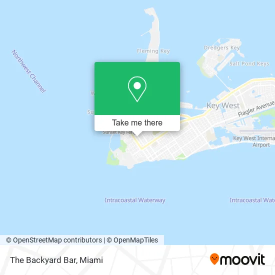
See The Backyard Bar, Key West, on the map
Public Transit to The Backyard Bar in Key West
Wondering how to get to The Backyard Bar in Key West? Moovit helps you find the best way to get to The Backyard Bar with step-by-step directions from the nearest public transit station.
Moovit provides free maps and live directions to help you navigate through your city. View schedules, routes, timetables, and find out how long does it take to get to The Backyard Bar in real time.
Looking for the nearest stop or station to The Backyard Bar? Check out this list of stops closest to your destination: Whitehead & Southard; Petronia & Whitehead.
Bus: LKS, WFX, DL.
Want to see if there’s another route that gets you there at an earlier time? Moovit helps you find alternative routes or times. Get directions from and directions to The Backyard Bar easily from the Moovit App or Website.
We make riding to The Backyard Bar easy, which is why over 1.5 million users, including users in Key West, trust Moovit as the best app for public transit. You don’t need to download an individual bus app or train app, Moovit is your all-in-one transit app that helps you find the best bus time or train time available.
For information on prices of bus, costs and ride fares to The Backyard Bar, please check the Moovit app.
Use the app to navigate to popular places including to the airport, hospital, stadium, grocery store, mall, coffee shop, school, college, and university.
The Backyard Bar Address: 618 Duval St Key West, FL 33040 street in Key West
- Diamonds & Spurs,
- 618 Duval Stars Karaoke,
- Jam Pony Karaoke Club,
- Halloween Express Key West,
- Holle Fine Art Gallery,
- Vacay Stars,
- Pho King Awesome,
- Art Lounge,
- Antonia's Restaurant,
- Lippy's Hot Hats of Key West,
- Wagon Wheel Bar and Grill,
- McGrail & Rowley,
- Blond Giraffe Key Lime Pie,
- K-Westbrand,
- Saras Marine Life,
- Madda Fella Rum Bar,
- Keywest Charms,
- Key,
- Key West Bar Card,
- Terminix
Places Near The Backyard Bar (Key West)
- Miami Freedom Park, Miami,
- Marlins Park, Miami,
- Dolphin Mall, Miami,
- Port of Miami Cruise Terminal, Miami,
- Keiser University Flagship Campus, West Palm Beach,
- Miami-Dade County Courthouse, Miami,
- Richard E. Gerstein Justice Building, Miami,
- Miami VA Hospital, Miami,
- Zoo Miami, Miami,
- Miami Design District, Miami,
- Hard Rock Stadium, Miami Gardens,
- Aventura Mall, Miami,
- Sawgrass Mall, Miami,
- Bayside Marketplace, Miami,
- Aventura Mall, Miami Beach,
- Brickell City Centre, Miami,
- Dolphin Mall Bus, Miami,
- Sawgrass mall ( FL ), Miami Beach,
- Wynwood, Miami,
- Little Havana, Miami
How to get to popular places in Miami with public transit
Get around Key West by public transit!
Traveling around Key West has never been so easy. See step by step directions as you travel to any attraction, street or major public transit station. View bus and train schedules, arrival times, service alerts and detailed routes on a map, so you know exactly how to get to anywhere in Key West.
When traveling to any destination around Key West use Moovit's Live Directions with Get Off Notifications to know exactly where and how far to walk, how long to wait for your line, and how many stops are left. Moovit will alert you when it's time to get off — no need to constantly re-check whether yours is the next stop.
Wondering how to use public transit in Key West or how to pay for public transit in Key West? Moovit public transit app can help you navigate your way with public transit easily, and at minimum cost. It includes public transit fees, ticket prices, and costs. Looking for a map of Key West public transit lines? Moovit public transit app shows all public transit maps in Key West with all Bus, Train, Light Rail and Ferry routes and stops on an interactive map.
Miami has 4 transit type(s), including: Bus, Train, Light Rail and Ferry, operated by several transit agencies, including Broward County Transit, Miami-Dade Transit, Metrorail, Palm Tran, Tri-Rail, Brightline, MARTY, City of Homestead Trolley, Key West Transit, Treasure Coast Connector, GoLine IRT, Amtrak, Greyhound-us, FlixBus-us and Aventura Express Shuttle Bus