How to get to The Blue Lagoon by bus?
Click on the bus route to see step by step directions with maps, line arrival times and updated time schedules.
From Baptist Hospital, Kendall-Palmetto Bay
71 minFrom Miami Palmetto Senior High School, Kendall-Palmetto Bay
47 minFrom SW 104th St / US-1, Kendall-Palmetto Bay
44 minFrom The Falls, Kendall-Palmetto Bay
43 minFrom Zoo Miami, Kendale Lakes-Tamiami
91 minFrom Palmetto High School, Kendall-Palmetto Bay
51 minFrom Baptist Hospital of Miami, Kendall-Palmetto Bay
71 minFrom SW 137th Ave / US-1, Princeton-Goulds
45 minFrom Miami Cancer Institute, Kendall-Palmetto Bay
73 minFrom Kendall, FL, Kendall-Palmetto Bay
54 min
Bus stops near The Blue Lagoon in Princeton-Goulds
Bus lines to The Blue Lagoon in Princeton-Goulds
What are the closest stations to The Blue Lagoon?
The closest stations to The Blue Lagoon are:
- Sw 87 Av @ Sw 200 St is 126 yards away, 2 min walk.
- Sw 87 Av @ Sw 200 Tr is 162 yards away, 3 min walk.
Which bus lines stop near The Blue Lagoon?
These bus lines stop near The Blue Lagoon: 287, 500.
What’s the nearest bus station to The Blue Lagoon in Princeton-Goulds?
The nearest bus station to The Blue Lagoon in Princeton-Goulds is Sw 87 Av @ Sw 200 St. It’s a 2 min walk away.
What time is the first bus to The Blue Lagoon in Princeton-Goulds?
The 287 is the first bus that goes to The Blue Lagoon in Princeton-Goulds. It stops nearby at 5:52 AM.
What time is the last bus to The Blue Lagoon in Princeton-Goulds?
The 287 is the last bus that goes to The Blue Lagoon in Princeton-Goulds. It stops nearby at 7:46 PM.
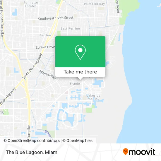
See The Blue Lagoon, Princeton-Goulds, on the map
Public Transit to The Blue Lagoon in Princeton-Goulds
Wondering how to get to The Blue Lagoon in Princeton-Goulds? Moovit helps you find the best way to get to The Blue Lagoon with step-by-step directions from the nearest public transit station.
Moovit provides free maps and live directions to help you navigate through your city. View schedules, routes, timetables, and find out how long does it take to get to The Blue Lagoon in real time.
Looking for the nearest stop or station to The Blue Lagoon? Check out this list of stops closest to your destination: Sw 87 Av @ Sw 200 St; Sw 87 Av @ Sw 200 Tr.
Bus: 287, 500.
Want to see if there’s another route that gets you there at an earlier time? Moovit helps you find alternative routes or times. Get directions from and directions to The Blue Lagoon easily from the Moovit App or Website.
We make riding to The Blue Lagoon easy, which is why over 1.5 million users, including users in Princeton-Goulds, trust Moovit as the best app for public transit. You don’t need to download an individual bus app or train app, Moovit is your all-in-one transit app that helps you find the best bus time or train time available.
For information on prices of bus, costs and ride fares to The Blue Lagoon, please check the Moovit app.
Use the app to navigate to popular places including to the airport, hospital, stadium, grocery store, mall, coffee shop, school, college, and university.
Location: Princeton-Goulds, Miami
- La Vaquita,
- MG Home Care Services,
- St Timothy Lutheran Church,
- Locksmithsexpress,
- Sebanda Insurance,
- A D T 24 Hr Alarm ADT Home Security,
- Medicare Insurance Advisors Cutler Bay,
- Ink-N-Oil,
- Buzz Biz Miami,
- Serenity Diving,
- Fibernet Engineering Group,
- Salon Mon Sharé,
- Goosehead - Eric Gray,
- Hydra Recovery,
- Fritanga Managuita,
- Complete Control,
- 20361 Old Cutler Rd Parking,
- Cutler Bay, FL,
- East Ridge Retirement Village,
- Cipher Systems
Places Near The Blue Lagoon (Princeton-Goulds)
- Port of Miami Cruise Terminal, Miami,
- Richard E. Gerstein Justice Building, Miami,
- Miami Design District, Miami,
- Dolphin Mall, Miami,
- Dolphin Mall Bus, Miami,
- Marlins Park, Miami,
- Miami Freedom Park, Miami,
- Wynwood, Miami,
- Hard Rock Stadium, Miami Gardens,
- Aventura Mall, Miami Beach,
- Zoo Miami, Miami,
- Sawgrass mall ( FL ), Miami Beach,
- Miami-Dade County Courthouse, Miami,
- Keiser University Flagship Campus, West Palm Beach,
- Bayside Marketplace, Miami,
- Little Havana, Miami,
- Sawgrass Mall, Miami,
- Miami VA Hospital, Miami,
- Brickell City Centre, Miami,
- Aventura Mall, Miami
How to get to popular places in Miami with public transit
Get around Princeton-Goulds by public transit!
Traveling around Princeton-Goulds has never been so easy. See step by step directions as you travel to any attraction, street or major public transit station. View bus and train schedules, arrival times, service alerts and detailed routes on a map, so you know exactly how to get to anywhere in Princeton-Goulds.
When traveling to any destination around Princeton-Goulds use Moovit's Live Directions with Get Off Notifications to know exactly where and how far to walk, how long to wait for your line, and how many stops are left. Moovit will alert you when it's time to get off — no need to constantly re-check whether yours is the next stop.
Wondering how to use public transit in Princeton-Goulds or how to pay for public transit in Princeton-Goulds? Moovit public transit app can help you navigate your way with public transit easily, and at minimum cost. It includes public transit fees, ticket prices, and costs. Looking for a map of Princeton-Goulds public transit lines? Moovit public transit app shows all public transit maps in Princeton-Goulds with all Bus, Train, Light Rail and Ferry routes and stops on an interactive map.
Miami has 4 transit type(s), including: Bus, Train, Light Rail and Ferry, operated by several transit agencies, including Broward County Transit, Miami-Dade Transit, Metrorail, Palm Tran, Tri-Rail, Brightline, MARTY, City of Homestead Trolley, Key West Transit, Treasure Coast Connector, GoLine IRT, Amtrak, Greyhound-us, FlixBus-us and Aventura Express Shuttle Bus