How to get to The Charm School Project for Girls by bus?
Click on the bus route to see step by step directions with maps, line arrival times and updated time schedules.
From I-695 @ Exit 27 (Dulaney Valley Road/MD 146), Baltimore County
48 minFrom Druid Hill Park, Baltimore
84 minFrom Patterson Park, Baltimore
52 minFrom Joseph Meyerhoff Symphony Hall, Baltimore
53 minFrom Medstar Franklin Square Medical Center, Baltimore County
50 minFrom Johns Hopkins Mountcastle Auditorium, Baltimore
38 minFrom I-83 Exit 16 (Timonium Road), Baltimore County
66 minFrom Baltimore Poly Tech High School, Baltimore
46 minFrom I-83 Exit 5 (Maryland Ave/Charles St), Baltimore
47 minFrom Lyric Theater, Baltimore
54 min
Bus stop near The Charm School Project for Girls in Baltimore County
- Harford Rd & Garnet Rd Sb, 4 min walk,VIEW
Bus lines to The Charm School Project for Girls in Baltimore County
What are the closest stations to The Charm School Project for Girls?
The closest stations to The Charm School Project for Girls are:
- Harford Rd & Garnet Rd Sb is 292 yards away, 4 min walk.
Which bus line stops near The Charm School Project for Girls?
54 (Carney Park & Ride)
What’s the nearest bus station to The Charm School Project for Girls in Baltimore County?
The nearest bus station to The Charm School Project for Girls in Baltimore County is Harford Rd & Garnet Rd Sb. It’s a 4 min walk away.
What time is the first bus to The Charm School Project for Girls in Baltimore County?
The 54 is the first bus that goes to The Charm School Project for Girls in Baltimore County. It stops nearby at 4:03 AM.
What time is the last bus to The Charm School Project for Girls in Baltimore County?
The 54 is the last bus that goes to The Charm School Project for Girls in Baltimore County. It stops nearby at 3:28 AM.
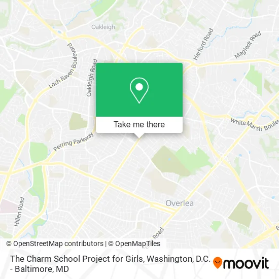
See The Charm School Project for Girls, Baltimore County, on the map
Public Transit to The Charm School Project for Girls in Baltimore County
Wondering how to get to The Charm School Project for Girls in Baltimore County? Moovit helps you find the best way to get to The Charm School Project for Girls with step-by-step directions from the nearest public transit station.
Moovit provides free maps and live directions to help you navigate through your city. View schedules, routes, timetables, and find out how long does it take to get to The Charm School Project for Girls in real time.
Looking for the nearest stop or station to The Charm School Project for Girls? Check out this list of stops closest to your destination: Harford Rd & Garnet Rd Sb.
Bus: 54, 154.
Want to see if there’s another route that gets you there at an earlier time? Moovit helps you find alternative routes or times. Get directions from and directions to The Charm School Project for Girls easily from the Moovit App or Website.
We make riding to The Charm School Project for Girls easy, which is why over 1.5 million users, including users in Baltimore County, trust Moovit as the best app for public transit. You don’t need to download an individual bus app or train app, Moovit is your all-in-one transit app that helps you find the best bus time or train time available.
For information on prices of bus, costs and ride fares to The Charm School Project for Girls, please check the Moovit app.
Use the app to navigate to popular places including to the airport, hospital, stadium, grocery store, mall, coffee shop, school, college, and university.
The Charm School Project for Girls Address: 7905 Harford Rd Parkville, MD 21234 street in Baltimore County
- The Safety Store Of Baltimore,
- Custom Services,
- Pentecostal Missionary Church Of Christ, 4th Watch,
- Sportsbox,
- Lavin Does Fashion,
- USPS Collection Box - Blue Box,
- Athletedge,
- White Marsh Speed Center,
- I Slay Hair by Shantrice,
- Kingrichvirginhair,
- Harford Rd and Taylor Ave,
- Shym Kuttz,
- Strengthening Lives,
- Mavis Discount Tire,
- Taylor Ave/Harford Rd,
- R and J Contractor Services,
- Maryzabeth Philip, Od,
- KeyMe,
- ATM,
- First National Bank ATM
Places Near The Charm School Project for Girls (Baltimore County)
- Georgetown, Washington,
- PG Mall, Prince George's County,
- Sibley Memorial Hospital, Washington,
- Pennsylvania Ave NW (3rd st and pennsylvania), Washington,
- Camden Yards, Baltimore,
- Basilica of the National Shrine, Washington,
- Marriott Marquis Washington, DC, Washington,
- Museum Of The Bible, Washington,
- The Anthem, Washington,
- National Theatre, Washington,
- Washington National Cathedral, Washington,
- Warner Theatre, Washington,
- National Museum of African American History and Culture, Washington,
- Rock Creek Tennis Center, Washington,
- M&T Bank Stadium, Baltimore,
- Westfield Montgomery Mall, Montgomery County,
- Capital One Arena, Washington,
- National Zoo, Washington,
- Washington DC VA Medical Center, Washington,
- Amazon Hq2, Arlington County
How to get to popular places in Washington, D.C. - Baltimore, MD with public transit
Get around Baltimore County by public transit!
Traveling around Baltimore County has never been so easy. See step by step directions as you travel to any attraction, street or major public transit station. View bus and train schedules, arrival times, service alerts and detailed routes on a map, so you know exactly how to get to anywhere in Baltimore County.
When traveling to any destination around Baltimore County use Moovit's Live Directions with Get Off Notifications to know exactly where and how far to walk, how long to wait for your line, and how many stops are left. Moovit will alert you when it's time to get off — no need to constantly re-check whether yours is the next stop.
Wondering how to use public transit in Baltimore County or how to pay for public transit in Baltimore County? Moovit public transit app can help you navigate your way with public transit easily, and at minimum cost. It includes public transit fees, ticket prices, and costs. Looking for a map of Baltimore County public transit lines? Moovit public transit app shows all public transit maps in Baltimore County with all Bus, Train, Metro, Light Rail and Ferry routes and stops on an interactive map.
Washington, D.C. - Baltimore, MD has 5 transit type(s), including: Bus, Train, Metro, Light Rail and Ferry, operated by several transit agencies, including WMATA, Montgomery County Ride On, Fairfax Connector, TheBus, PRTC, DASH - Alexandria, Arlington Transit (ART), RTA of Central Maryland, MDOT MTA, MDOT MTA Light RailLink, MDOT MTA Commuter Bus, MDOT MTA Local Bus, FXBGO!, Virginia Railway Express (VRE) and MARC