Directions to The Connection (Wichita) with public transportation
The following transit lines have routes that pass near The Connection
How to get to The Connection by bus?
Click on the bus route to see step by step directions with maps, line arrival times and updated time schedules.
From Park & Ride, Wichita
72 minFrom Michele M. Riggins, MD, Wichita
47 minFrom East Harry & South Edgemoor Street, Wichita
43 minFrom Bishop Carroll Baseball Field, Wichita
52 minFrom Ray Kunzie Painting, Wichita
32 minFrom N Woodland St, Wichita
56 minFrom Spectrumware.Net, Wichita
74 minFrom Pratt Community College, Wichita
62 minFrom MDR Homes, Wichita
55 minFrom Donovan Auto & Truck Center Cadillac, Wichita
53 min
Bus stops near The Connection in Wichita
Bus lines to The Connection in Wichita
What are the closest stations to The Connection?
The closest stations to The Connection are:
- Cleveland And Central Ib is 268 yards away, 4 min walk.
- Central And Cleveland Ib is 299 yards away, 4 min walk.
- Cleveland And Central Ob is 309 yards away, 4 min walk.
Which bus lines stop near The Connection?
These bus lines stop near The Connection: ROUTE21: DOUGLAS, ROUTE25: E CENTR.
What’s the nearest bus station to The Connection in Wichita?
The nearest bus stations to The Connection in Wichita are Cleveland And Central Ib, Central And Cleveland Ib and Cleveland And Central Ob. The closest one is a 4 min walk away.
What time is the first bus to The Connection in Wichita?
The ROUTE28: KU MED- is the first bus that goes to The Connection in Wichita. It stops nearby at 5:11 AM.
What time is the last bus to The Connection in Wichita?
The ROUTE25: E CENTR is the last bus that goes to The Connection in Wichita. It stops nearby at 7:29 PM.
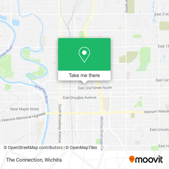
See The Connection, Wichita, on the map
Public Transit to The Connection in Wichita
Wondering how to get to The Connection in Wichita? Moovit helps you find the best way to get to The Connection with step-by-step directions from the nearest public transit station.
Moovit provides free maps and live directions to help you navigate through your city. View schedules, routes, timetables, and find out how long does it take to get to The Connection in real time.
Looking for the nearest stop or station to The Connection? Check out this list of stops closest to your destination: Cleveland And Central Ib; Central And Cleveland Ib; Cleveland And Central Ob.
Bus: ROUTE21: DOUGLAS, ROUTE25: E CENTR, ROUTE28: KU MED-, NORTH HIGH SCHOO.
Want to see if there’s another route that gets you there at an earlier time? Moovit helps you find alternative routes or times. Get directions from and directions to The Connection easily from the Moovit App or Website.
We make riding to The Connection easy, which is why over 1.5 million users, including users in Wichita, trust Moovit as the best app for public transit. You don’t need to download an individual bus app or train app, Moovit is your all-in-one transit app that helps you find the best bus time or train time available.
For information on prices of bus, costs and ride fares to The Connection, please check the Moovit app.
Use the app to navigate to popular places including to the airport, hospital, stadium, grocery store, mall, coffee shop, school, college, and university.
The Connection Address: 1317 E 3rd St N Wichita, KS 67214 street in Wichita
- Snap Restyling,
- Pompeo for Congress,
- SBM Site Service,
- Diesel Doctor,
- Panaderia del Sol,
- Kingz Liquor,
- McClelland Inc.,
- In the Air Smokes & Snacks,
- Simply Sangria,
- U-Haul,
- Sumthing 4 Everbody Furniture &More LLC,
- Underground Grafx,
- Central and Ohio,
- Pella Window and Door,
- Silvergear,
- Farha Hometrends,
- Station 8 BBQ,
- CSL Plasma,
- Whip Appeal TX,
- E Z Choice Meats
Places Near The Connection (Wichita)
- Sena African Hair Braiding LLC, Wichita,
- McConnell Air Force Base, Mcconnell Afb,
- East 21st Street North and Webb Road, Wichita,
- Ascencion Via Christi Hospital St Francis, Wichita,
- Total Card Solutions, Wichita,
- Towne East Mall, Wichita,
- Four Corners Cafe @ Wesley Medical Center, Wichita,
- Spirit Aerosystems Inc, Building 1-198D,
- 21st & Maize, Wichita,
- Hubb's glory hole, Wichita,
- North High School, Wichita,
- Lopez Services, Wichita,
- Afghan Halal Market, Wichita,
- Ratcliff Auto and Truck Repair, Wichita,
- Wichita Dwight D. Eisenhower National Airport (ICT) (Wichita Eisenhower National Airport), Wichita,
- Paige Place Apartments, Wichita,
- Spirit Aerosystems,
- Bmer Tech Automotive, Wichita,
- Spirit AeroSystems, Bldg 2-280J (Section 9),
- Westside Athletic Field (Friends University Baseball Field), Wichita
How to get to popular places in Wichita with public transit
Get around Wichita by public transit!
Traveling around Wichita has never been so easy. See step by step directions as you travel to any attraction, street or major public transit station. View bus and train schedules, arrival times, service alerts and detailed routes on a map, so you know exactly how to get to anywhere in Wichita.
When traveling to any destination around Wichita use Moovit's Live Directions with Get Off Notifications to know exactly where and how far to walk, how long to wait for your line, and how many stops are left. Moovit will alert you when it's time to get off — no need to constantly re-check whether yours is the next stop.
Wondering how to use public transit in Wichita or how to pay for public transit in Wichita? Moovit public transit app can help you navigate your way with public transit easily, and at minimum cost. It includes public transit fees, ticket prices, and costs. Looking for a map of Wichita public transit lines? Moovit public transit app shows all public transit maps in Wichita with all bus routes and stops on an interactive map.
Wichita has 1 transit type(s), including: bus, operated by several transit agencies, including Wichita Transit, Greyhound-us and FlixBus-us