How to get to The Destiny Program by bus?
Click on the bus route to see step by step directions with maps, line arrival times and updated time schedules.
From In-N-Out Burger, Las Vegas
51 minFrom The Meadows Mall, Las Vegas
45 minFrom M&M World (M&M'S World Las Vegas), Paradise
65 minFrom Nellis Air Force Base (The Department of the Air Force), Nellis Afb
63 minFrom Mike O'Callaghan Military Medical Center - Nellis AFB, Nellis Afb
58 minFrom Adventuredome (Circus Circus Adventuredome Theme Park), Winchester
53 minFrom Nellis AFB Dorm 777, Nellis Afb
64 minFrom Caesars Palace Employee Parking Garage, Paradise
64 minFrom St George Shuttle Pickup, Paradise
69 minFrom Home2 Suites By Hilton Las Vegas City Center/Towneplace Suites Las Vegas City Center, Paradise
57 min
Bus stops near The Destiny Program in Las Vegas
Bus lines to The Destiny Program in Las Vegas
What are the closest stations to The Destiny Program?
The closest stations to The Destiny Program are:
- Eb Bonanza After 23rd is 471 yards away, 6 min walk.
- Sb Eastern After Bonanza is 522 yards away, 7 min walk.
- Eb Stewart After Eastern is 899 yards away, 11 min walk.
Which bus lines stop near The Destiny Program?
These bus lines stop near The Destiny Program: 110, 207, 215.
What’s the nearest bus station to The Destiny Program in Las Vegas?
The nearest bus station to The Destiny Program in Las Vegas is Eb Bonanza After 23rd. It’s a 6 min walk away.
What time is the first bus to The Destiny Program in Las Vegas?
The 110 is the first bus that goes to The Destiny Program in Las Vegas. It stops nearby at 3:15 AM.
What time is the last bus to The Destiny Program in Las Vegas?
The 110 is the last bus that goes to The Destiny Program in Las Vegas. It stops nearby at 3:18 AM.
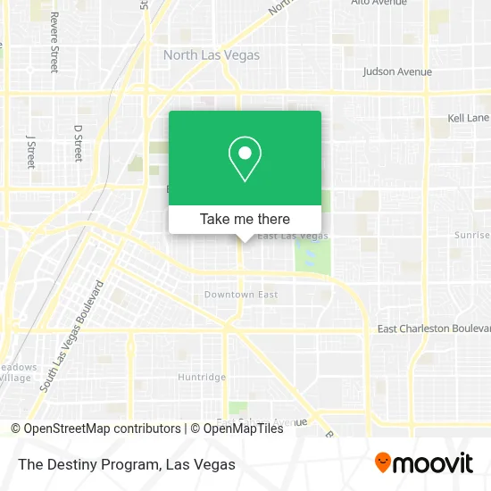
See The Destiny Program, Las Vegas, on the map
Public Transit to The Destiny Program in Las Vegas
Wondering how to get to The Destiny Program in Las Vegas? Moovit helps you find the best way to get to The Destiny Program with step-by-step directions from the nearest public transit station.
Moovit provides free maps and live directions to help you navigate through your city. View schedules, routes, timetables, and find out how long does it take to get to The Destiny Program in real time.
Looking for the nearest stop or station to The Destiny Program? Check out this list of stops closest to your destination: Eb Bonanza After 23rd; Sb Eastern After Bonanza; Eb Stewart After Eastern.
Bus: 110, 207, 215.
Want to see if there’s another route that gets you there at an earlier time? Moovit helps you find alternative routes or times. Get directions from and directions to The Destiny Program easily from the Moovit App or Website.
We make riding to The Destiny Program easy, which is why over 1.7 million users, including users in Las Vegas, trust Moovit as the best app for public transit. You don’t need to download an individual bus app or train app, Moovit is your all-in-one transit app that helps you find the best bus time or train time available.
For information on prices of bus, costs and ride fares to The Destiny Program, please check the Moovit app.
Use the app to navigate to popular places including to the airport, hospital, stadium, grocery store, mall, coffee shop, school, college, and university.
The Destiny Program Address: 556 N Eastern Ave street in Las Vegas
- Out Of the Box Housing,
- Sphilistine,
- Western Union,
- Vision Veinte Veinte, Dr Nataly Gammoh,
- Torres Corp Store 84,
- La Casita Del Tenampa,
- Sló Med Spa & Wellness Center,
- Amazon Locker - Triangle,
- Bitcoin Atm - Coinhub,
- The Machuca Foundation,
- Tom Prince: Allstate Insurance,
- Nutrition 4 Life,
- Las Vegas Bitcoin Atm - Coinhub,
- Western Union,
- Mountain Charleston,
- Value Pawn & Jewelery,
- Toro Taxes,
- Wells Fargo Atm,
- Lawn Care Las Vegas,
- Western Union
Places Near The Destiny Program (Las Vegas)
- Walmart, Las Vegas,
- Omega Mart, Las Vegas,
- Walmart Supercenter, Las Vegas,
- Koolsville Tattoos, Las Vegas,
- Las Vegas South Premium Outlets, Enterprise,
- Meow Wolf - Las Vegas (Meow Wolf's Omega Mart), Las Vegas,
- Zak Bagans Haunted Museum, Las Vegas,
- The Palms Casino Resort, Paradise,
- Gold & Silver Pawn Shop, Las Vegas,
- Arte Museum Las Vegas, Paradise,
- Welcome To Fabulous Las Vegas Sign, Paradise,
- Trump International Hotel Las Vegas, Paradise,
- Area15, Las Vegas,
- The Deuce Bus Stop at Fremont St, Las Vegas,
- Lee Canyon, Las Vegas,
- Las Vegas Premium Outlets-North, Enterprise,
- The Neon Museum, Las Vegas,
- Las Vegas North Premium Outlets, Las Vegas,
- Town Square, Enterprise,
- Allegiant Stadium, Paradise
How to get to popular places in Las Vegas with public transit
Get around Las Vegas by public transit!
Traveling around Las Vegas has never been so easy. See step by step directions as you travel to any attraction, street or major public transit station. View bus and train schedules, arrival times, service alerts and detailed routes on a map, so you know exactly how to get to anywhere in Las Vegas.
When traveling to any destination around Las Vegas use Moovit's Live Directions with Get Off Notifications to know exactly where and how far to walk, how long to wait for your line, and how many stops are left. Moovit will alert you when it's time to get off — no need to constantly re-check whether yours is the next stop.
Wondering how to use public transit in Las Vegas or how to pay for public transit in Las Vegas? Moovit public transit app can help you navigate your way with public transit easily, and at minimum cost. It includes public transit fees, ticket prices, and costs. Looking for a map of Las Vegas public transit lines? Moovit public transit app shows all public transit maps in Las Vegas with all Bus and Monorail routes and stops on an interactive map.
Las Vegas has 2 transit type(s), including: Bus and Monorail, operated by several transit agencies, including RTCSNV, City of Las Vegas, Alvand Transportation, Vegas Airporter, Las Vegas Monorail, FlixBus-us and Greyhound-us