Directions to The Fix (Queens) with public transportation
The following transit lines have routes that pass near The Fix
 Bus: Q59, Q60, Q72, Q88, QM11.
- Train: BABYLON BRANCH, FAR ROCKAWAY BRANCH, LONG BEACH BRANCH.
- Subway: M, R, E, F, 7.
How to get to The Fix by bus?
Click on the bus route to see step by step directions with maps, line arrival times and updated time schedules.
From Noguchi Museum, Queens
51 minFrom Manhattan, NY, Manhattan
57 minFrom 299 South Street, Manhattan
86 minFrom Carnegie Hall, Manhattan
65 minFrom Whitestone, Queens
47 minFrom 300 Canal Place, Bronx
76 minFrom Bellevue Hospital Center, Manhattan
66 minFrom 59th & Lexington, Manhattan
45 minFrom Saint Albans, NY, Queens
65 minFrom Times Square New York City, Usa, Manhattan
60 min
How to get to The Fix by train?
Click on the train route to see step by step directions with maps, line arrival times and updated time schedules.
How to get to The Fix by subway?
Click on the subway route to see step by step directions with maps, line arrival times and updated time schedules.
From Noguchi Museum, Queens
44 minFrom Manhattan, NY, Manhattan
32 minFrom 299 South Street, Manhattan
53 minFrom Carnegie Hall, Manhattan
34 minFrom 300 Canal Place, Bronx
49 minFrom Bellevue Hospital Center, Manhattan
47 minFrom 59th & Lexington, Manhattan
27 minFrom Times Square New York City, Usa, Manhattan
29 min
Bus stops near The Fix in Queens
Subway stations near The Fix in Queens
Bus lines to The Fix in Queens
- QM11, Forest Hills,VIEW
- Q59, Willamsburg Bridge Plaza Via Grand,VIEW
- Q98, Limited Flushing,VIEW
- Q53-SBS, +Select Bus Rockaway Park Beach 116 St,VIEW
- Q60, South Jamaica Via Queens Bl,VIEW
- Q11, Old Howard Beach Hamilton Beach,VIEW
- Q52-SBS, +Select Bus Elmhurst,VIEW
- Q88, Queens Village Jamaica Av,VIEW
- Q29, Jackson Heights,VIEW
- Q14, East Elmhurst,VIEW
- QM10, Midtown 57 St Via 6 Av,VIEW
- QM40, East Midtown 55 St Via 3 Av,VIEW
What are the closest stations to The Fix?
The closest stations to The Fix are:
- 59 Av/92 St is 80 yards away, 2 min walk.
- Queens Blvd/59 Av is 82 yards away, 2 min walk.
- 92 St/59 Av is 129 yards away, 2 min walk.
- 57 Av/92 St is 290 yards away, 4 min walk.
- 63 Dr-Rego Park is 399 yards away, 5 min walk.
- Junction Blvd is 1981 yards away, 24 min walk.
Which bus lines stop near The Fix?
These bus lines stop near The Fix: Q59, Q60, Q72, Q88.
Which train lines stop near The Fix?
These train lines stop near The Fix: BABYLON BRANCH, FAR ROCKAWAY BRANCH, LONG BEACH BRANCH.
Which subway lines stop near The Fix?
These subway lines stop near The Fix: M, R.
What’s the nearest subway station to The Fix in Queens?
The nearest subway station to The Fix in Queens is 63 Dr-Rego Park. It’s a 5 min walk away.
What’s the nearest bus station to The Fix in Queens?
The nearest bus stations to The Fix in Queens are 59 Av/92 St, Queens Blvd/59 Av and 92 St/59 Av. The closest one is a 2 min walk away.
What time is the first subway to The Fix in Queens?
The F is the first subway that goes to The Fix in Queens. It stops nearby at 3:01 AM.
What time is the last subway to The Fix in Queens?
The F is the last subway that goes to The Fix in Queens. It stops nearby at 3:59 AM.
What time is the first bus to The Fix in Queens?
The Q59 is the first bus that goes to The Fix in Queens. It stops nearby at 3:05 AM.
What time is the last bus to The Fix in Queens?
The Q11 is the last bus that goes to The Fix in Queens. It stops nearby at 3:29 AM.
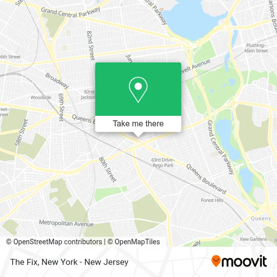
See The Fix, Queens, on the map
Public Transit to The Fix in Queens
Wondering how to get to The Fix in Queens? Moovit helps you find the best way to get to The Fix with step-by-step directions from the nearest public transit station.
Moovit provides free maps and live directions to help you navigate through your city. View schedules, routes, timetables, and find out how long does it take to get to The Fix in real time.
Looking for the nearest stop or station to The Fix? Check out this list of stops closest to your destination: 59 Av/92 St; Queens Blvd/59 Av; 92 St/59 Av; 57 Av/92 St; 63 Dr-Rego Park; Junction Blvd.
Bus: Q59, Q60, Q72, Q88, QM11, Q98, Q53-SBS.Train: BABYLON BRANCH, FAR ROCKAWAY BRANCH, LONG BEACH BRANCH.Subway: M, R, E, F, 7, 7X.
Want to see if there’s another route that gets you there at an earlier time? Moovit helps you find alternative routes or times. Get directions from and directions to The Fix easily from the Moovit App or Website.
We make riding to The Fix easy, which is why over 1.5 million users, including users in Queens, trust Moovit as the best app for public transit. You don’t need to download an individual bus app or train app, Moovit is your all-in-one transit app that helps you find the best bus time or train time available.
For information on prices of subway, bus and train, costs and ride fares to The Fix, please check the Moovit app.
Use the app to navigate to popular places including to the airport, hospital, stadium, grocery store, mall, coffee shop, school, college, and university.
The Fix Address: 90-15 Queens Blvd street in Queens
- Charter Spectrum Store,
- Build A Bear,
- Footlocker Queens Center Mall,
- Maven Seo Agency,
- White Barn,
- Spectrum Store,
- Coconut&More,
- Woraux Jewelry,
- Dave's Hot Chicken,
- American Eagle,
- Adidas Store New York, Queen's Center,
- G-Star Raw Store,
- Queens Center Mall Store,
- Queens Center,
- Lätt Liv New York,
- Samsung Experience Store Queens Center,
- Live, Love, Dream,
- John F. Kennedy Jr. School P721,
- Michael Hill Jewelers Queens Center,
- Aerie
Places Near The Fix (Queens)
- 111 Centre New York City Supreme Court, Manhattan,
- Times Square, Manhattan,
- qqqq, Manhattan,
- Mountainside Hospital, Glen Ridge,
- SoHo, Manhattan,
- Chinatown, Manhattan,
- Katz's Deli, Manhattan,
- 376 Hudson Street, Manhattan,
- Queens Center Mall, Queens,
- 3 Stone St, Manhattan,
- Bellevue Hospital, Manhattan,
- Rockefeller Center, Manhattan,
- Wall Street, Manhattan,
- San Gennaro Feast, Manhattan,
- Pier 83, Manhattan,
- 1 Police Plaza, Manhattan,
- 66 John Street, Manhattan,
- 26 Federal Plaza, Manhattan,
- 911 Memorial, Manhattan,
- Hudson Yards, Manhattan
How to get to popular places in New York - New Jersey with public transit
Get around Queens by public transit!
Traveling around Queens has never been so easy. See step by step directions as you travel to any attraction, street or major public transit station. View bus and train schedules, arrival times, service alerts and detailed routes on a map, so you know exactly how to get to anywhere in Queens.
When traveling to any destination around Queens use Moovit's Live Directions with Get Off Notifications to know exactly where and how far to walk, how long to wait for your line, and how many stops are left. Moovit will alert you when it's time to get off — no need to constantly re-check whether yours is the next stop.
Wondering how to use public transit in Queens or how to pay for public transit in Queens? Moovit public transit app can help you navigate your way with public transit easily, and at minimum cost. It includes public transit fees, ticket prices, and costs. Looking for a map of Queens public transit lines? Moovit public transit app shows all public transit maps in Queens with all Bus, Train, Subway, Light Rail, Ferry and Cable Car routes and stops on an interactive map.
New York - New Jersey has 6 transit type(s), including: Bus, Train, Subway, Light Rail, Ferry and Cable Car, operated by several transit agencies, including MTA Subway, Metro-North Railroad, LIRR, PATH, MTA New York City Transit - Express routes, MTA Bus, NJ Transit, NYC Ferry, NICE bus, Bee-Line Bus, NJ Transit Rail, Norwalk Transit District, Hartford Line, River Valley Transit and HART