How to get to The Greens @ Forest Park by bus?
Click on the bus route to see step by step directions with maps, line arrival times and updated time schedules.
From Port of Baltimore - Cruise Maryland Terminal, Baltimore
80 minFrom Enoch Pratt Free Library - Central Library, Baltimore
51 minFrom Patterson Park, Baltimore
58 minFrom Medstar Harbor Hospital, Baltimore
72 minFrom University Of Maryland Baltimore (Umbc), Baltimore County
45 minFrom Giant Food Stores, Baltimore
49 minFrom Guinness Open Gate Brewery & Barrel House, Baltimore County
98 minFrom M&T Bank Stadium, Baltimore
65 minFrom Good Samaritan Hospital, Baltimore
66 minFrom Baltimore VA Medical Center, Baltimore
44 min
How to get to The Greens @ Forest Park by metro?
Click on the metro route to see step by step directions with maps, line arrival times and updated time schedules.
Bus stops near The Greens @ Forest Park in Baltimore
Metro station near The Greens @ Forest Park in Baltimore
- Mondawmin Metro, 29 min walk,VIEW
What are the closest stations to The Greens @ Forest Park?
The closest stations to The Greens @ Forest Park are:
- Lawina Rd & Wakefield Rd FS Sb is 327 yards away, 5 min walk.
- Forest Park Ave & Forest Glen Rd Nb is 470 yards away, 6 min walk.
- Mondawmin Metro is 2456 yards away, 29 min walk.
Which bus lines stop near The Greens @ Forest Park?
These bus lines stop near The Greens @ Forest Park: 34, 79.
Which metro line stops near The Greens @ Forest Park?
METRO (Towards Owing Mills)
What’s the nearest metro station to The Greens @ Forest Park in Baltimore?
The nearest metro station to The Greens @ Forest Park in Baltimore is Mondawmin Metro. It’s a 29 min walk away.
What’s the nearest bus station to The Greens @ Forest Park in Baltimore?
The nearest bus station to The Greens @ Forest Park in Baltimore is Lawina Rd & Wakefield Rd FS Sb. It’s a 5 min walk away.
What time is the first metro to The Greens @ Forest Park in Baltimore?
The METRO is the first metro that goes to The Greens @ Forest Park in Baltimore. It stops nearby at 3:45 AM.
What time is the last metro to The Greens @ Forest Park in Baltimore?
The METRO is the last metro that goes to The Greens @ Forest Park in Baltimore. It stops nearby at 12:21 AM.
What time is the first bus to The Greens @ Forest Park in Baltimore?
The 79 is the first bus that goes to The Greens @ Forest Park in Baltimore. It stops nearby at 5:12 AM.
What time is the last bus to The Greens @ Forest Park in Baltimore?
The 79 is the last bus that goes to The Greens @ Forest Park in Baltimore. It stops nearby at 12:58 AM.
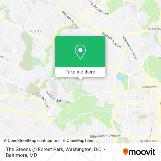
See The Greens @ Forest Park, Baltimore, on the map
Public Transit to The Greens @ Forest Park in Baltimore
Wondering how to get to The Greens @ Forest Park in Baltimore? Moovit helps you find the best way to get to The Greens @ Forest Park with step-by-step directions from the nearest public transit station.
Moovit provides free maps and live directions to help you navigate through your city. View schedules, routes, timetables, and find out how long does it take to get to The Greens @ Forest Park in real time.
Looking for the nearest stop or station to The Greens @ Forest Park? Check out this list of stops closest to your destination: Lawina Rd & Wakefield Rd FS Sb; Forest Park Ave & Forest Glen Rd Nb; Mondawmin Metro.
Bus: 34, 79, 38.Metro: METRO.
Want to see if there’s another route that gets you there at an earlier time? Moovit helps you find alternative routes or times. Get directions from and directions to The Greens @ Forest Park easily from the Moovit App or Website.
We make riding to The Greens @ Forest Park easy, which is why over 1.5 million users, including users in Baltimore, trust Moovit as the best app for public transit. You don’t need to download an individual bus app or train app, Moovit is your all-in-one transit app that helps you find the best bus time or train time available.
For information on prices of bus and metro, costs and ride fares to The Greens @ Forest Park, please check the Moovit app.
Use the app to navigate to popular places including to the airport, hospital, stadium, grocery store, mall, coffee shop, school, college, and university.
Location: Baltimore, Washington, D.C. - Baltimore, MD
- G Construction,
- USPS Collection Box - Blue Box,
- Fairview Ave,
- Saylaveee,
- Hillsdale Manor & Forest Glen Townhomes,
- Golden Opportunity Personnel Services,
- West Forest Park, Maryland,
- Twenty 4 Hours Heating Repair,
- Fairview Ave Ave Granada Ave,
- Clifton House,
- Carl N Loudon Ave,
- Howard Park,
- Dominion Resource Center,
- Forest Park Golf Course,
- Windsor Hills,
- JRS Food Service,
- Your Choice Home Investment,
- Lombard Street Bridge,
- Maryland Sound International Holding Company, Llc,
- Merob Food Mart
Places Near The Greens @ Forest Park (Baltimore)
- National Mall, Washington,
- PG Mall, Prince George's County,
- Washington DC VA Medical Center, Washington,
- National Museum of African American History and Culture, Washington,
- The Anthem, Washington,
- Basilica of the National Shrine, Washington,
- M&T Bank Stadium, Baltimore,
- Marriott Marquis Washington, DC, Washington,
- Warner Theatre, Washington,
- National Zoo, Washington,
- Pennsylvania Ave NW (3rd st and pennsylvania), Washington,
- Sibley Memorial Hospital, Washington,
- Westfield Montgomery Mall, Montgomery County,
- Capital One Arena, Washington,
- Museum Of The Bible, Washington,
- Camden Yards, Baltimore,
- Amazon Hq2, Arlington County,
- Rock Creek Tennis Center, Washington,
- Washington National Cathedral, Washington,
- Georgetown, Washington
How to get to popular places in Washington, D.C. - Baltimore, MD with public transit
Get around Baltimore by public transit!
Traveling around Baltimore has never been so easy. See step by step directions as you travel to any attraction, street or major public transit station. View bus and train schedules, arrival times, service alerts and detailed routes on a map, so you know exactly how to get to anywhere in Baltimore.
When traveling to any destination around Baltimore use Moovit's Live Directions with Get Off Notifications to know exactly where and how far to walk, how long to wait for your line, and how many stops are left. Moovit will alert you when it's time to get off — no need to constantly re-check whether yours is the next stop.
Wondering how to use public transit in Baltimore or how to pay for public transit in Baltimore? Moovit public transit app can help you navigate your way with public transit easily, and at minimum cost. It includes public transit fees, ticket prices, and costs. Looking for a map of Baltimore public transit lines? Moovit public transit app shows all public transit maps in Baltimore with all Bus, Train, Metro, Light Rail and Ferry routes and stops on an interactive map.
Washington, D.C. - Baltimore, MD has 5 transit type(s), including: Bus, Train, Metro, Light Rail and Ferry, operated by several transit agencies, including WMATA, Montgomery County Ride On, Fairfax Connector, TheBus, PRTC, DASH - Alexandria, Arlington Transit (ART), RTA of Central Maryland, MDOT MTA, MDOT MTA Light RailLink, MDOT MTA Commuter Bus, MDOT MTA Local Bus, FXBGO!, Virginia Railway Express (VRE) and MARC