How to get to The Grit Program by bus?
Click on the bus route to see step by step directions with maps, line arrival times and updated time schedules.
From YMCA Aleda Patterson Child Care, Edmonton
47 minFrom Deep Freeze: Byzantine Winter Festival, Edmonton
60 minFrom Mayfield Common Shopping Centre, Edmonton
43 minFrom Bonnie Doon Shopping Centre, Edmonton
51 minFrom Bonnie Doon Mall, Edmonton
66 minFrom Supplement World, Sturgeon County
85 minFrom Gateway Blvd, Edmonton
71 minFrom Bonnie Doon Bowling Lanes, Edmonton
53 minFrom St. Francis Xavier High School, Edmonton
41 minFrom Ben Calf Robe-St Clare Catholic Elementary/Junior Hi, Edmonton
46 min
Bus stops near The Grit Program in Edmonton
Bus lines to The Grit Program in Edmonton
What are the closest stations to The Grit Program?
The closest stations to The Grit Program are:
- St Albert Trail & 128 Avenue is 367 meters away, 6 min walk.
- 148 Street & 128 Avenue is 787 meters away, 11 min walk.
- Dunvegan Road Loop is 1470 meters away, 20 min walk.
Which bus lines stop near The Grit Program?
These bus lines stop near The Grit Program: 052, 201, 202.
What’s the nearest bus station to The Grit Program in Edmonton?
The nearest bus station to The Grit Program in Edmonton is St Albert Trail & 128 Avenue. It’s a 6 min walk away.
What time is the first bus to The Grit Program in Edmonton?
The 106 is the first bus that goes to The Grit Program in Edmonton. It stops nearby at 5:24 AM.
What time is the last bus to The Grit Program in Edmonton?
The 201 is the last bus that goes to The Grit Program in Edmonton. It stops nearby at 12:47 AM.
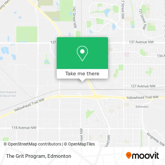
See The Grit Program, Edmonton, on the map
Public Transit to The Grit Program in Edmonton
Wondering how to get to The Grit Program in Edmonton? Moovit helps you find the best way to get to The Grit Program with step-by-step directions from the nearest public transit station.
Moovit provides free maps and live directions to help you navigate through your city. View schedules, routes, timetables, and find out how long does it take to get to The Grit Program in real time.
Looking for the nearest stop or station to The Grit Program? Check out this list of stops closest to your destination: St Albert Trail & 128 Avenue; 148 Street & 128 Avenue; Dunvegan Road Loop.
Bus: 052, 201, 202, 684, 905, 106.
Want to see if there’s another route that gets you there at an earlier time? Moovit helps you find alternative routes or times. Get directions from and directions to The Grit Program easily from the Moovit App or Website.
We make riding to The Grit Program easy, which is why over 1.5 million users, including users in Edmonton, trust Moovit as the best app for public transit. You don’t need to download an individual bus app or train app, Moovit is your all-in-one transit app that helps you find the best bus time or train time available.
For information on prices of bus, costs and ride fares to The Grit Program, please check the Moovit app.
Use the app to navigate to popular places including to the airport, hospital, stadium, grocery store, mall, coffee shop, school, college, and university.
The Grit Program Address: 141 Street NW street in Edmonton
- Atrec Flooring,
- Forward Concept Construction,
- Inspire Group,
- Eagle Pharmaceutical,
- Svi - Rxbed 14211-128A,
- Ufcw Canada,
- Condo Management Solutions Inc.,
- Electronic Recycling Association,
- V-Bearing Industrial Supply LTD,
- Complete Lube Supply,
- T M G Contractors,
- Kelso Plumbing,
- Studio A,
- Smartstop Self Storage,
- Cash Money,
- Great Northern Grain Terminals LTD,
- 575 Cash Money,
- Nova Builders,
- Highlander Counselling & Médiation,
- Cabico
Places Near The Grit Program (Edmonton)
- Cross Cancer Institute, Edmonton,
- Kaye Edmonton Clinic, Edmonton,
- Edmonton EXPO Centre, Edmonton,
- Borden Park, Edmonton,
- MacEwan University, Edmonton,
- Northgate Centre, Edmonton,
- Kingsway Mall, Edmonton,
- Londonderry Mall, Edmonton,
- Whyte Avenue, Edmonton,
- Alberta Legislature Building, Edmonton,
- Royal Alexandra Hospital, Edmonton,
- University of Alberta, Edmonton,
- Rogers Place, Edmonton,
- Canada Place Service Canada Centre, Edmonton,
- Edmonton VIA Rail Station, Edmonton,
- Grey Nuns Community Hospital, Edmonton,
- Fort Edmonton Park, Edmonton,
- Edmonton Commonwealth Stadium, Edmonton,
- Edmonton Valley Zoo, Edmonton,
- West Edmonton Mall, Edmonton
How to get to popular places in Edmonton with public transit
Get around Edmonton by public transit!
Traveling around Edmonton has never been so easy. See step by step directions as you travel to any attraction, street or major public transit station. View bus and train schedules, arrival times, service alerts and detailed routes on a map, so you know exactly how to get to anywhere in Edmonton.
When traveling to any destination around Edmonton use Moovit's Live Directions with Get Off Notifications to know exactly where and how far to walk, how long to wait for your line, and how many stops are left. Moovit will alert you when it's time to get off — no need to constantly re-check whether yours is the next stop.
Wondering how to use public transit in Edmonton or how to pay for public transit in Edmonton? Moovit public transit app can help you navigate your way with public transit easily, and at minimum cost. It includes public transit fees, ticket prices, and costs. Looking for a map of Edmonton public transit lines? Moovit public transit app shows all public transit maps in Edmonton with all Bus and Light Rail routes and stops on an interactive map.
Edmonton has 2 transit type(s), including: Bus and Light Rail, operated by several transit agencies, including ETS LRT, ETS, Strathcona County Transit, St. Albert Transit, Spruce Grove Transit, Fort Saskatchewan Transit, Beaumont Transit and Leduc Transit