How to get to The Main Event by bus?
Click on the bus route to see step by step directions with maps, line arrival times and updated time schedules.
From Frick Museum, Manhattan
47 minFrom Consulado Ecuatoriano en Queens, Queens
85 minFrom Upper West Side, Manhattan
63 minFrom Sylvia's Restaurant, Manhattan
78 minFrom MTA X80 - Manhattan to Randall's Island, Manhattan
74 minFrom Costco, Queens
64 minFrom Mall del Sol Guayaquil,Ecuador, Queens
72 minFrom Riverside Church, Manhattan
81 minFrom Apollo Theater, Manhattan
84 minFrom Jersey City, NJ, Jersey City
97 min
How to get to The Main Event by train?
Click on the train route to see step by step directions with maps, line arrival times and updated time schedules.
How to get to The Main Event by subway?
Click on the subway route to see step by step directions with maps, line arrival times and updated time schedules.
From Frick Museum, Manhattan
43 minFrom Consulado Ecuatoriano en Queens, Queens
45 minFrom Upper West Side, Manhattan
41 minFrom Sylvia's Restaurant, Manhattan
44 minFrom MTA X80 - Manhattan to Randall's Island, Manhattan
51 minFrom Costco, Queens
50 minFrom Mall del Sol Guayaquil,Ecuador, Queens
49 minFrom Riverside Church, Manhattan
54 minFrom Apollo Theater, Manhattan
41 min
Bus stops near The Main Event in Manhattan
Subway stations near The Main Event in Manhattan
Bus lines to The Main Event in Manhattan
What are the closest stations to The Main Event?
The closest stations to The Main Event are:
- East Houston St/Av B is 208 yards away, 3 min walk.
- Avenue A/East Houston St is 360 yards away, 5 min walk.
- 1 Av is 724 yards away, 9 min walk.
- Delancey St-Essex St is 809 yards away, 10 min walk.
- Bleecker St is 1227 yards away, 15 min walk.
Which bus lines stop near The Main Event?
These bus lines stop near The Main Event: M14A-SBS, M15, M15-SBS, M21, M9.
Which train lines stop near The Main Event?
These train lines stop near The Main Event: BLU, YEL.
Which subway line stops near The Main Event?
F (Downtown & Brooklyn)
What’s the nearest subway station to The Main Event in Manhattan?
The nearest subway station to The Main Event in Manhattan is 1 Av. It’s a 9 min walk away.
What’s the nearest bus station to The Main Event in Manhattan?
The nearest bus station to The Main Event in Manhattan is East Houston St/Av B. It’s a 3 min walk away.
What time is the first subway to The Main Event in Manhattan?
The F is the first subway that goes to The Main Event in Manhattan. It stops nearby at 3:01 AM.
What time is the last subway to The Main Event in Manhattan?
The F is the last subway that goes to The Main Event in Manhattan. It stops nearby at 3:58 AM.
What time is the first bus to The Main Event in Manhattan?
The M14A-SBS is the first bus that goes to The Main Event in Manhattan. It stops nearby at 3:15 AM.
What time is the last bus to The Main Event in Manhattan?
The M14A-SBS is the last bus that goes to The Main Event in Manhattan. It stops nearby at 2:38 AM.
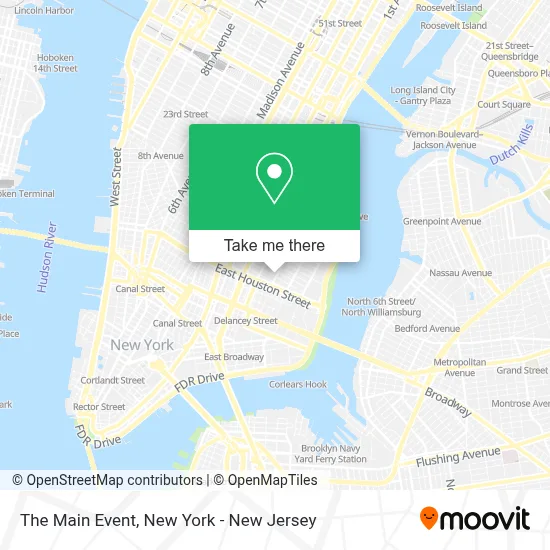
See The Main Event, Manhattan, on the map
Public Transit to The Main Event in Manhattan
Wondering how to get to The Main Event in Manhattan? Moovit helps you find the best way to get to The Main Event with step-by-step directions from the nearest public transit station.
Moovit provides free maps and live directions to help you navigate through your city. View schedules, routes, timetables, and find out how long does it take to get to The Main Event in real time.
Looking for the nearest stop or station to The Main Event? Check out this list of stops closest to your destination: East Houston St/Av B; Avenue A/East Houston St; 1 Av; Delancey St-Essex St; Bleecker St.
Bus: M14A-SBS, M15, M15-SBS, M21, M9.Train: BLU, YEL.Subway: F, L, B39, FX, J, M, 4, 6, 6X.
Want to see if there’s another route that gets you there at an earlier time? Moovit helps you find alternative routes or times. Get directions from and directions to The Main Event easily from the Moovit App or Website.
We make riding to The Main Event easy, which is why over 1.5 million users, including users in Manhattan, trust Moovit as the best app for public transit. You don’t need to download an individual bus app or train app, Moovit is your all-in-one transit app that helps you find the best bus time or train time available.
For information on prices of subway, bus and train, costs and ride fares to The Main Event, please check the Moovit app.
Use the app to navigate to popular places including to the airport, hospital, stadium, grocery store, mall, coffee shop, school, college, and university.
The Main Event Address: 42 Avenue B street in Manhattan
- Pig & Butter,
- Grey Gardens Of East Village,
- Book Club Bar,
- Heart N' Soul,
- Virginia's,
- E 3rd St and Avenue B,
- Meskel Ethiopian Restaurant,
- Snack Dragon,
- Poco - NYC,
- Populares,
- Even Ground,
- Places To Eat Near Me,
- Fontanez Martial Arts Success Center,
- 4th St and Ave B,
- Alabama,
- B4creations,
- Po,
- Truetrade Community,
- Councilwoman Carlina Rivera 利華娜,
- Eastpoint
Places Near The Main Event (Manhattan)
- Bellevue Hospital, Manhattan,
- SoHo, Manhattan,
- 376 Hudson Street, Manhattan,
- Times Square, Manhattan,
- Wall Street, Manhattan,
- Rockefeller Center, Manhattan,
- 3 Stone St, Manhattan,
- Pier 83, Manhattan,
- Mountainside Hospital, Glen Ridge,
- Chinatown, Manhattan,
- 66 John Street, Manhattan,
- Queens Center Mall, Queens,
- 1 Police Plaza, Manhattan,
- 111 Centre New York City Supreme Court, Manhattan,
- qqqq, Manhattan,
- San Gennaro Feast, Manhattan,
- 911 Memorial, Manhattan,
- Hudson Yards, Manhattan,
- Katz's Deli, Manhattan,
- 26 Federal Plaza, Manhattan
How to get to popular places in New York - New Jersey with public transit
Get around Manhattan by public transit!
Traveling around Manhattan has never been so easy. See step by step directions as you travel to any attraction, street or major public transit station. View bus and train schedules, arrival times, service alerts and detailed routes on a map, so you know exactly how to get to anywhere in Manhattan.
When traveling to any destination around Manhattan use Moovit's Live Directions with Get Off Notifications to know exactly where and how far to walk, how long to wait for your line, and how many stops are left. Moovit will alert you when it's time to get off — no need to constantly re-check whether yours is the next stop.
Wondering how to use public transit in Manhattan or how to pay for public transit in Manhattan? Moovit public transit app can help you navigate your way with public transit easily, and at minimum cost. It includes public transit fees, ticket prices, and costs. Looking for a map of Manhattan public transit lines? Moovit public transit app shows all public transit maps in Manhattan with all Bus, Train, Subway, Light Rail, Ferry and Cable Car routes and stops on an interactive map.
New York - New Jersey has 6 transit type(s), including: Bus, Train, Subway, Light Rail, Ferry and Cable Car, operated by several transit agencies, including MTA Subway, Metro-North Railroad, LIRR, PATH, MTA New York City Transit - Express routes, MTA Bus, NJ Transit, NYC Ferry, NICE bus, Bee-Line Bus, NJ Transit Rail, Norwalk Transit District, Hartford Line, River Valley Transit and HART