How to get to The Pastry Box by bus?
Click on the bus route to see step by step directions with maps, line arrival times and updated time schedules.
From LaGuardia High School, Manhattan
46 minFrom Roosevelt Ave / 74th St, Queens
80 minFrom Central Park, Manhattan
55 minFrom Metropolitan Opera, Manhattan
46 minFrom Harlem Hospital, Manhattan
80 minFrom Columbia University, Manhattan
96 minFrom Red Rooster Harlem, Manhattan
68 minFrom Sojo Spa Club, Edgewater
66 minFrom Sojo Spa, Edgewater
66 min
How to get to The Pastry Box by train?
Click on the train route to see step by step directions with maps, line arrival times and updated time schedules.
How to get to The Pastry Box by subway?
Click on the subway route to see step by step directions with maps, line arrival times and updated time schedules.
Bus stops near The Pastry Box in Manhattan
Subway stations near The Pastry Box in Manhattan
Ferry station near The Pastry Box in Manhattan
- Stuyvesant Cove, 13 min walk,VIEW
Bus lines to The Pastry Box in Manhattan
What are the closest stations to The Pastry Box?
The closest stations to The Pastry Box are:
- Avenue A/E 11 St is 129 yards away, 2 min walk.
- E 10 St/Avenue A is 243 yards away, 3 min walk.
- E 14 St/Avenue A is 264 yards away, 4 min walk.
- 1 Av/E 11 St is 357 yards away, 5 min walk.
- 1 Av is 392 yards away, 5 min walk.
- Astor Pl is 413 yards away, 5 min walk.
- 2 Av is 593 yards away, 8 min walk.
- Stuyvesant Cove is 1058 yards away, 13 min walk.
Which bus lines stop near The Pastry Box?
These bus lines stop near The Pastry Box: M14D-SBS, M15, M15-SBS, M8, M9.
Which train lines stop near The Pastry Box?
These train lines stop near The Pastry Box: 2, YEL.
Which subway line stops near The Pastry Box?
L (Downtown & Brooklyn)
What’s the nearest subway station to The Pastry Box in Manhattan?
The nearest subway stations to The Pastry Box in Manhattan are 1 Av and Astor Pl. The closest one is a 5 min walk away.
What’s the nearest bus station to The Pastry Box in Manhattan?
The nearest bus station to The Pastry Box in Manhattan is Avenue A/E 11 St. It’s a 2 min walk away.
What’s the nearest ferry station to The Pastry Box in Manhattan?
The nearest ferry station to The Pastry Box in Manhattan is Stuyvesant Cove. It’s a 13 min walk away.
What time is the first subway to The Pastry Box in Manhattan?
The L is the first subway that goes to The Pastry Box in Manhattan. It stops nearby at 3:01 AM.
What time is the last subway to The Pastry Box in Manhattan?
The F is the last subway that goes to The Pastry Box in Manhattan. It stops nearby at 3:56 AM.
What time is the first bus to The Pastry Box in Manhattan?
The M14D-SBS is the first bus that goes to The Pastry Box in Manhattan. It stops nearby at 3:09 AM.
What time is the last bus to The Pastry Box in Manhattan?
The M15 is the last bus that goes to The Pastry Box in Manhattan. It stops nearby at 2:46 AM.
What time is the first ferry to The Pastry Box in Manhattan?
The RS is the first ferry that goes to The Pastry Box in Manhattan. It stops nearby at 5:51 AM.
What time is the last ferry to The Pastry Box in Manhattan?
The RS is the last ferry that goes to The Pastry Box in Manhattan. It stops nearby at 9:17 PM.
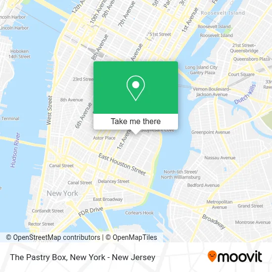
See The Pastry Box, Manhattan, on the map
Public Transit to The Pastry Box in Manhattan
Wondering how to get to The Pastry Box in Manhattan? Moovit helps you find the best way to get to The Pastry Box with step-by-step directions from the nearest public transit station.
Moovit provides free maps and live directions to help you navigate through your city. View schedules, routes, timetables, and find out how long does it take to get to The Pastry Box in real time.
Looking for the nearest stop or station to The Pastry Box? Check out this list of stops closest to your destination: Avenue A/E 11 St; E 10 St/Avenue A; E 14 St/Avenue A; 1 Av/E 11 St; 1 Av; Astor Pl; 2 Av; Stuyvesant Cove.
Bus: M14D-SBS, M15, M15-SBS, M8, M9, M14A-SBS.Train: 2, YEL.Subway: L, 4, 6, 6X, A, C, F, FX.Ferry: RS.
Want to see if there’s another route that gets you there at an earlier time? Moovit helps you find alternative routes or times. Get directions from and directions to The Pastry Box easily from the Moovit App or Website.
We make riding to The Pastry Box easy, which is why over 1.5 million users, including users in Manhattan, trust Moovit as the best app for public transit. You don’t need to download an individual bus app or train app, Moovit is your all-in-one transit app that helps you find the best bus time or train time available.
For information on prices of subway, bus and train, costs and ride fares to The Pastry Box, please check the Moovit app.
Use the app to navigate to popular places including to the airport, hospital, stadium, grocery store, mall, coffee shop, school, college, and university.
The Pastry Box Address: 515 E 12th St street in Manhattan
- House Of Pasta Nyc,
- Raclette NYC,
- Sanavita Center,
- Tizezer Lépés Magyar Könyvesbolt,
- Poppy East Village,
- Painted Hair Dreams Studio,
- Avenue A Tutoring,
- Convive,
- 12th St St et Avenue A,
- Boris and Horton,
- Gorky Park,
- Foxface Natural,
- The Pilates Nook,
- Brooms Audio,
- Roberto Clemente Center,
- Obscura Antiques and Oddities,
- Nyc Health + Hospitals / Gotham Health, Roberto Clemente Center,
- East 13th Street Corp.,
- Escuela Cientifica Basilio #55,
- Cafe Joah
Places Near The Pastry Box (Manhattan)
- 376 Hudson Street, Manhattan,
- Bellevue Hospital, Manhattan,
- 1 Police Plaza, Manhattan,
- 66 John Street, Manhattan,
- qqqq, Manhattan,
- Pier 83, Manhattan,
- Queens Center Mall, Queens,
- San Gennaro Feast, Manhattan,
- Chinatown, Manhattan,
- Times Square, Manhattan,
- Mountainside Hospital, Glen Ridge,
- 111 Centre New York City Supreme Court, Manhattan,
- Rockefeller Center, Manhattan,
- Wall Street, Manhattan,
- Katz's Deli, Manhattan,
- 3 Stone St, Manhattan,
- Hudson Yards, Manhattan,
- 26 Federal Plaza, Manhattan,
- SoHo, Manhattan,
- 911 Memorial, Manhattan
How to get to popular places in New York - New Jersey with public transit
Get around Manhattan by public transit!
Traveling around Manhattan has never been so easy. See step by step directions as you travel to any attraction, street or major public transit station. View bus and train schedules, arrival times, service alerts and detailed routes on a map, so you know exactly how to get to anywhere in Manhattan.
When traveling to any destination around Manhattan use Moovit's Live Directions with Get Off Notifications to know exactly where and how far to walk, how long to wait for your line, and how many stops are left. Moovit will alert you when it's time to get off — no need to constantly re-check whether yours is the next stop.
Wondering how to use public transit in Manhattan or how to pay for public transit in Manhattan? Moovit public transit app can help you navigate your way with public transit easily, and at minimum cost. It includes public transit fees, ticket prices, and costs. Looking for a map of Manhattan public transit lines? Moovit public transit app shows all public transit maps in Manhattan with all Bus, Train, Subway, Light Rail, Ferry and Cable Car routes and stops on an interactive map.
New York - New Jersey has 6 transit type(s), including: Bus, Train, Subway, Light Rail, Ferry and Cable Car, operated by several transit agencies, including MTA Subway, Metro-North Railroad, LIRR, PATH, MTA New York City Transit - Express routes, MTA Bus, NJ Transit, NYC Ferry, NICE bus, Bee-Line Bus, NJ Transit Rail, Norwalk Transit District, Hartford Line, River Valley Transit and HART