How to get to The Realreal Warehouse by bus?
Click on the bus route to see step by step directions with maps, line arrival times and updated time schedules.
From South Ave, Staten Island
146 minFrom Edison NJ, Edison
110 minFrom Walmart, Linden
73 minFrom Plainfield, NJ, Plainfield
108 minFrom Staten Island Mall, Staten Island
143 minFrom Linden, NJ, Linden
74 minFrom Staten Island, NY, Staten Island
167 minFrom Rutgers, New Brunswick
92 minFrom Highland Park, NJ, Highland Park
82 minFrom Baps Shri Swaminarayan Mandir, Edison, NJ, USA, Edison
115 min
How to get to The Realreal Warehouse by train?
Click on the train route to see step by step directions with maps, line arrival times and updated time schedules.
Bus stops near The Realreal Warehouse in Perth Amboy
Train station near The Realreal Warehouse in Perth Amboy
- Woodbridge, 11 min walk,VIEW
Bus lines to The Realreal Warehouse in Perth Amboy
What are the closest stations to The Realreal Warehouse?
The closest stations to The Realreal Warehouse are:
- Convery Blvd at Kelly Ave is 514 yards away, 8 min walk.
- Amboy Ave at Maurer Rd is 610 yards away, 9 min walk.
- Woodbridge is 854 yards away, 11 min walk.
Which bus lines stop near The Realreal Warehouse?
These bus lines stop near The Realreal Warehouse: 116, 48, 813, 815.
Which train line stops near The Realreal Warehouse?
NJCL (Bay Head)
What’s the nearest train station to The Realreal Warehouse in Perth Amboy?
The nearest train station to The Realreal Warehouse in Perth Amboy is Woodbridge. It’s a 11 min walk away.
What’s the nearest bus station to The Realreal Warehouse in Perth Amboy?
The nearest bus station to The Realreal Warehouse in Perth Amboy is Convery Blvd at Kelly Ave. It’s a 8 min walk away.
What time is the first train to The Realreal Warehouse in Perth Amboy?
The NJCL is the first train that goes to The Realreal Warehouse in Perth Amboy. It stops nearby at 4:37 AM.
What time is the last train to The Realreal Warehouse in Perth Amboy?
The NJCL is the last train that goes to The Realreal Warehouse in Perth Amboy. It stops nearby at 1:52 AM.
What time is the first bus to The Realreal Warehouse in Perth Amboy?
The 116 is the first bus that goes to The Realreal Warehouse in Perth Amboy. It stops nearby at 4:37 AM.
What time is the last bus to The Realreal Warehouse in Perth Amboy?
The 116 is the last bus that goes to The Realreal Warehouse in Perth Amboy. It stops nearby at 1:20 AM.
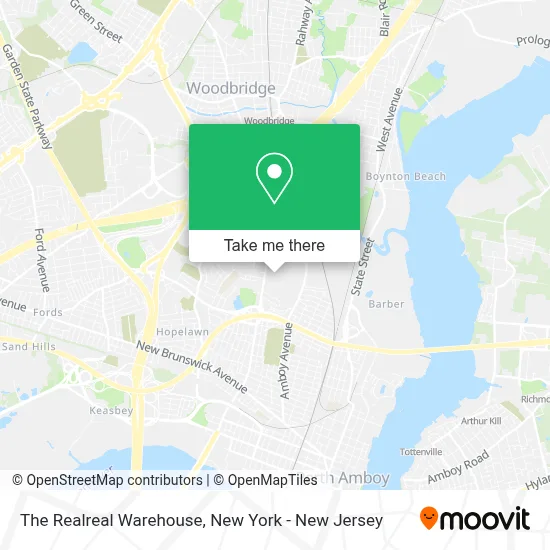
See The Realreal Warehouse, Perth Amboy, on the map
Public Transit to The Realreal Warehouse in Perth Amboy
Wondering how to get to The Realreal Warehouse in Perth Amboy? Moovit helps you find the best way to get to The Realreal Warehouse with step-by-step directions from the nearest public transit station.
Moovit provides free maps and live directions to help you navigate through your city. View schedules, routes, timetables, and find out how long does it take to get to The Realreal Warehouse in real time.
Looking for the nearest stop or station to The Realreal Warehouse? Check out this list of stops closest to your destination: Convery Blvd at Kelly Ave; Amboy Ave at Maurer Rd; Woodbridge.
Bus: 116, 48, 813, 815.Train: NJCL.
Want to see if there’s another route that gets you there at an earlier time? Moovit helps you find alternative routes or times. Get directions from and directions to The Realreal Warehouse easily from the Moovit App or Website.
We make riding to The Realreal Warehouse easy, which is why over 1.5 million users, including users in Perth Amboy, trust Moovit as the best app for public transit. You don’t need to download an individual bus app or train app, Moovit is your all-in-one transit app that helps you find the best bus time or train time available.
For information on prices of bus, train and subway, costs and ride fares to The Realreal Warehouse, please check the Moovit app.
Use the app to navigate to popular places including to the airport, hospital, stadium, grocery store, mall, coffee shop, school, college, and university.
The Realreal Warehouse Address: 950 Convery Blvd Perth Amboy, NJ 08861 street in Perth Amboy
- Best Buy DDC (715),
- Mexico Auto Repair Inc.,
- Perth Amboy Locksmith Service,
- Us Foods Metro NY,
- U. S. Foods - Metron,
- Kylee Alexa|Makeup Artist,
- Us Foods Metro NY,
- Flor D Oro Cafe Corporation,
- Dalton Park Fitlot Outdoor Fitness Park,
- Dalton Field,
- Edmund Hmieleski Jr Early Childhood Center,
- PNC Atm,
- Blue Rhino Propane Exchange,
- Demi Auto Care & Tires,
- Bayside Family Success Center,
- Dunlap-Delaney Neighborhood,
- Jamagrille Sports Bar and Lounge,
- Blue Rhino Propane Exchange,
- Amboy Halal Live Poultry,
- Amazon Locker - Plano
Places Near The Realreal Warehouse (Perth Amboy)
- 1 Police Plaza, Manhattan,
- Times Square, Manhattan,
- Bellevue Hospital, Manhattan,
- 111 Centre New York City Supreme Court, Manhattan,
- Pier 83, Manhattan,
- 911 Memorial, Manhattan,
- Wall Street, Manhattan,
- 26 Federal Plaza, Manhattan,
- Mountainside Hospital, Glen Ridge,
- San Gennaro Feast, Manhattan,
- qqqq, Manhattan,
- Hudson Yards, Manhattan,
- 3 Stone St, Manhattan,
- Chinatown, Manhattan,
- 376 Hudson Street, Manhattan,
- Rockefeller Center, Manhattan,
- Katz's Deli, Manhattan,
- Queens Center Mall, Queens,
- 66 John Street, Manhattan,
- SoHo, Manhattan
How to get to popular places in New York - New Jersey with public transit
Get around Perth Amboy by public transit!
Traveling around Perth Amboy has never been so easy. See step by step directions as you travel to any attraction, street or major public transit station. View bus and train schedules, arrival times, service alerts and detailed routes on a map, so you know exactly how to get to anywhere in Perth Amboy.
When traveling to any destination around Perth Amboy use Moovit's Live Directions with Get Off Notifications to know exactly where and how far to walk, how long to wait for your line, and how many stops are left. Moovit will alert you when it's time to get off — no need to constantly re-check whether yours is the next stop.
Wondering how to use public transit in Perth Amboy or how to pay for public transit in Perth Amboy? Moovit public transit app can help you navigate your way with public transit easily, and at minimum cost. It includes public transit fees, ticket prices, and costs. Looking for a map of Perth Amboy public transit lines? Moovit public transit app shows all public transit maps in Perth Amboy with all Bus, Train, Subway, Light Rail, Ferry and Cable Car routes and stops on an interactive map.
New York - New Jersey has 6 transit type(s), including: Bus, Train, Subway, Light Rail, Ferry and Cable Car, operated by several transit agencies, including MTA Subway, Metro-North Railroad, LIRR, PATH, MTA New York City Transit - Express routes, MTA Bus, NJ Transit, NYC Ferry, NICE bus, Bee-Line Bus, NJ Transit Rail, Norwalk Transit District, Hartford Line, River Valley Transit and HART