How to get to The Sovereign Group - Compass by bus?
Click on the bus route to see step by step directions with maps, line arrival times and updated time schedules.
Bus stops near The Sovereign Group - Compass in Pelican Bay
Bus lines to The Sovereign Group - Compass in Pelican Bay
What are the closest stations to The Sovereign Group - Compass?
The closest stations to The Sovereign Group - Compass are:
- Panther Ln is 92 yards away, 2 min walk.
- Pine Ridge Rd is 841 yards away, 10 min walk.
Which bus line stops near The Sovereign Group - Compass?
11 (Creekside Wlinc→Govt Center)
What’s the nearest bus station to The Sovereign Group - Compass in Pelican Bay?
The nearest bus station to The Sovereign Group - Compass in Pelican Bay is Panther Ln. It’s a 2 min walk away.
What time is the first bus to The Sovereign Group - Compass in Pelican Bay?
The 11 is the first bus that goes to The Sovereign Group - Compass in Pelican Bay. It stops nearby at 6:31 AM.
What time is the last bus to The Sovereign Group - Compass in Pelican Bay?
The 11 is the last bus that goes to The Sovereign Group - Compass in Pelican Bay. It stops nearby at 7:06 PM.
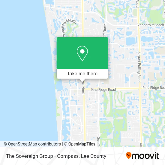
See The Sovereign Group - Compass, Pelican Bay, on the map
Public Transit to The Sovereign Group - Compass in Pelican Bay
Wondering how to get to The Sovereign Group - Compass in Pelican Bay? Moovit helps you find the best way to get to The Sovereign Group - Compass with step-by-step directions from the nearest public transit station.
Moovit provides free maps and live directions to help you navigate through your city. View schedules, routes, timetables, and find out how long does it take to get to The Sovereign Group - Compass in real time.
Looking for the nearest stop or station to The Sovereign Group - Compass? Check out this list of stops closest to your destination: Panther Ln; Pine Ridge Rd.
Bus: 11, 20, 25.
Want to see if there’s another route that gets you there at an earlier time? Moovit helps you find alternative routes or times. Get directions from and directions to The Sovereign Group - Compass easily from the Moovit App or Website.
We make riding to The Sovereign Group - Compass easy, which is why over 1.5 million users, including users in Pelican Bay, trust Moovit as the best app for public transit. You don’t need to download an individual bus app or train app, Moovit is your all-in-one transit app that helps you find the best bus time or train time available.
For information on prices of bus, costs and ride fares to The Sovereign Group - Compass, please check the Moovit app.
Use the app to navigate to popular places including to the airport, hospital, stadium, grocery store, mall, coffee shop, school, college, and university.
The Sovereign Group - Compass Address: 800 Laurel Oak Dr street in Pelican Bay
- Signature Communities,
- Thelifestylesteam,
- The Home Perspective, Swfl,
- Naples Coastal Living,
- Compass Real Estate,
- Catherine Backus Realtor,
- Letty Fazio Realtor,
- The Knox Brothers,
- Zachary Monger Compass,
- Joe Casella,
- Adrianna Almanza,
- The Manring Brothers,
- The Bowers Group,
- J.B. Naples,
- Victor Aviles - Realtor,
- Tom Rosen-Compass Real Estate,
- Ariel Burnham, Real Estate Advisor at Compass,
- Karen Majerczak,
- Józef Maston at Compass Florida Llc,
- A Team Naples
Places Near The Sovereign Group - Compass (Pelican Bay)
- Walmart Supercenter, Fort Myers,
- Ft Myers Airport RSW,
- All About U Naples Escorts, Pine Ridge,
- Bonita Bay Private Beach Club, Bonita Springs,
- Bonita Springs, FL, Bonita Springs,
- Bonita Beach, Bonita Springs,
- Matlacha Nude Beach, Matlacha Isles-Matlacha Shores,
- I-75 & MLK (Exit 138), Fort Myers,
- Flixbus, Fort Myers,
- Amazon Warehouse Rsw5,
- Lehigh Acres, FL, Lehigh Acres,
- Edison Mall, Fort Myers,
- Miromar Outlets, Estero,
- Lee County Tax Collector, Cape Coral,
- Pelican Landing Beach Shuttle, Bonita Springs,
- I-75 & Colonial (Exit 136), Fort Myers,
- U.S.-41 / Colonial Blvd. Intersection, Fort Myers,
- US-41, Fort Myers,
- Rosa Parks Transportation Center, Fort Myers,
- Seminole Casino Hotel Immokalee
How to get to popular places in Lee County with public transit
Get around Pelican Bay by public transit!
Traveling around Pelican Bay has never been so easy. See step by step directions as you travel to any attraction, street or major public transit station. View bus and train schedules, arrival times, service alerts and detailed routes on a map, so you know exactly how to get to anywhere in Pelican Bay.
When traveling to any destination around Pelican Bay use Moovit's Live Directions with Get Off Notifications to know exactly where and how far to walk, how long to wait for your line, and how many stops are left. Moovit will alert you when it's time to get off — no need to constantly re-check whether yours is the next stop.
Wondering how to use public transit in Pelican Bay or how to pay for public transit in Pelican Bay? Moovit public transit app can help you navigate your way with public transit easily, and at minimum cost. It includes public transit fees, ticket prices, and costs. Looking for a map of Pelican Bay public transit lines? Moovit public transit app shows all public transit maps in Pelican Bay with all bus routes and stops on an interactive map.
Lee County has 1 transit type(s), including: bus, operated by several transit agencies, including LeeTran, CAT and FlixBus-us