How to get to The Tree For Life by bus?
Click on the bus route to see step by step directions with maps, line arrival times and updated time schedules.
From Virgin Hotels Las Vegas, Curio Collection By Hilton - Paradise Parking, Paradise
57 minFrom N 5th St, North Las Vegas
56 minFrom Nevada Caregiver Agency, Paradise
41 minFrom W Russell Rd / S Rainbow Blvd, Spring Valley
57 minFrom Hyatt Place Las Vegas (Las Vegas Hyatt Place), Paradise
65 minFrom Clifford J Lawrence Junior High School, Spring Valley
72 minFrom Desert Pines High School, Las Vegas
74 minFrom SlotZilla, Las Vegas
30 minFrom Charleston And Eastern, Las Vegas
62 minFrom Pinball Hall of Fame, Paradise
74 min
Bus stops near The Tree For Life in Las Vegas
Bus lines to The Tree For Life in Las Vegas
What are the closest stations to The Tree For Life?
The closest stations to The Tree For Life are:
- Nb Decatur After Bonanza is 256 yards away, 4 min walk.
- Wb Alta Before Brush is 841 yards away, 11 min walk.
Which bus lines stop near The Tree For Life?
These bus lines stop near The Tree For Life: 103, 207.
What’s the nearest bus station to The Tree For Life in Las Vegas?
The nearest bus station to The Tree For Life in Las Vegas is Nb Decatur After Bonanza. It’s a 4 min walk away.
What time is the first bus to The Tree For Life in Las Vegas?
The 103 is the first bus that goes to The Tree For Life in Las Vegas. It stops nearby at 3:44 AM.
What time is the last bus to The Tree For Life in Las Vegas?
The 103 is the last bus that goes to The Tree For Life in Las Vegas. It stops nearby at 2:58 AM.
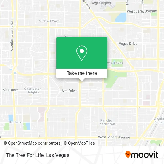
See The Tree For Life, Las Vegas, on the map
Public Transit to The Tree For Life in Las Vegas
Wondering how to get to The Tree For Life in Las Vegas? Moovit helps you find the best way to get to The Tree For Life with step-by-step directions from the nearest public transit station.
Moovit provides free maps and live directions to help you navigate through your city. View schedules, routes, timetables, and find out how long does it take to get to The Tree For Life in real time.
Looking for the nearest stop or station to The Tree For Life? Check out this list of stops closest to your destination: Nb Decatur After Bonanza; Wb Alta Before Brush.
Bus: 103, 207.
Want to see if there’s another route that gets you there at an earlier time? Moovit helps you find alternative routes or times. Get directions from and directions to The Tree For Life easily from the Moovit App or Website.
We make riding to The Tree For Life easy, which is why over 1.7 million users, including users in Las Vegas, trust Moovit as the best app for public transit. You don’t need to download an individual bus app or train app, Moovit is your all-in-one transit app that helps you find the best bus time or train time available.
For information on prices of bus, costs and ride fares to The Tree For Life, please check the Moovit app.
Use the app to navigate to popular places including to the airport, hospital, stadium, grocery store, mall, coffee shop, school, college, and university.
The Tree For Life Address: 3858 Meadows Lane street in Las Vegas
- Cardenas Meat Market #30,
- Decatur / Meadows Shopping Center,
- Lux Beauty Supply,
- S Decatur Blvd / Alta Dr,
- Southern Nevada Health District,
- Western High School,
- Oakley,
- Hyde Park Middle School,
- Sksi,
- Jcpenney,
- Charleston Antique Mall,
- Arizona Charlie's Decatur,
- The Meadows Mall,
- Bingo,
- Arizona Charlie's Decatur (Arizona Charlie's Decatur Casino & Hotel),
- Macy's,
- Ice Cream de Michoacan,
- Shopping Mall in Las Vegas, NV,
- Meadows Mall,
- Desert
Places Near The Tree For Life (Las Vegas)
- Area15, Las Vegas,
- The Palms Casino Resort, Paradise,
- The Deuce Bus Stop at Fremont St, Las Vegas,
- Meow Wolf - Las Vegas (Meow Wolf's Omega Mart), Las Vegas,
- Las Vegas North Premium Outlets, Las Vegas,
- Arte Museum Las Vegas, Paradise,
- Lee Canyon, Las Vegas,
- Gold & Silver Pawn Shop, Las Vegas,
- Las Vegas South Premium Outlets, Enterprise,
- The Neon Museum, Las Vegas,
- Walmart, Las Vegas,
- Las Vegas Premium Outlets-North, Enterprise,
- Allegiant Stadium, Paradise,
- Omega Mart, Las Vegas,
- Welcome To Fabulous Las Vegas Sign, Paradise,
- Zak Bagans Haunted Museum, Las Vegas,
- Koolsville Tattoos, Las Vegas,
- Town Square, Enterprise,
- Walmart Supercenter, Las Vegas,
- Trump International Hotel Las Vegas, Paradise
How to get to popular places in Las Vegas with public transit
Get around Las Vegas by public transit!
Traveling around Las Vegas has never been so easy. See step by step directions as you travel to any attraction, street or major public transit station. View bus and train schedules, arrival times, service alerts and detailed routes on a map, so you know exactly how to get to anywhere in Las Vegas.
When traveling to any destination around Las Vegas use Moovit's Live Directions with Get Off Notifications to know exactly where and how far to walk, how long to wait for your line, and how many stops are left. Moovit will alert you when it's time to get off — no need to constantly re-check whether yours is the next stop.
Wondering how to use public transit in Las Vegas or how to pay for public transit in Las Vegas? Moovit public transit app can help you navigate your way with public transit easily, and at minimum cost. It includes public transit fees, ticket prices, and costs. Looking for a map of Las Vegas public transit lines? Moovit public transit app shows all public transit maps in Las Vegas with all Bus and Monorail routes and stops on an interactive map.
Las Vegas has 2 transit type(s), including: Bus and Monorail, operated by several transit agencies, including RTCSNV, City of Las Vegas, Alvand Transportation, Vegas Airporter, Las Vegas Monorail, FlixBus-us and Greyhound-us