How to get to The Watering Hole by bus?
Click on the bus route to see step by step directions with maps, line arrival times and updated time schedules.
From Amazon Iad28, Fairfax County
98 minFrom Chantilly, VA, Fairfax County
134 minFrom Dulles Expo Center, Fairfax County
149 minFrom Amazon Web Services - IAD21, Fairfax County
123 minFrom Ashby Ponds, Loudoun County
60 minFrom Hookers & Blow, Fairfax County
94 minFrom National Reconnaissance Office, Fairfax County
145 minFrom Lake Fairfax Park, Fairfax County
145 minFrom Sterling VA USA, Loudoun County
93 min
Bus stops near The Watering Hole in Loudoun County
Bus lines to The Watering Hole in Loudoun County
- 55, Exeter/Tuscarora/Compass Creek,VIEW
- 56, Ida Lee/Rust Lib/County Complex,VIEW
- 57, Village at Leesburg/Wegmans,VIEW
- STLCH, Courthouse,VIEW
- 181, Leesburg/Lansdowne/One Loudoun,VIEW
- 581, Mt Zion Lot/Frederick Md,VIEW
- 70, Sterling/Nvcc,VIEW
- 182, Dulles Airport And Leesburg,VIEW
- 351, Loudoun County Government Center,VIEW
- 582, Dale City Lot Via Dulles And Manassas Park,VIEW
What are the closest stations to The Watering Hole?
The closest stations to The Watering Hole are:
- King St & Fairfax St is 367 yards away, 5 min walk.
- Harrison St & Catoctin Cir is 839 yards away, 10 min walk.
- Courthouse is 967 yards away, 12 min walk.
- Market St & Harrison St is 1170 yards away, 14 min walk.
- Loudoun County Government Center is 1446 yards away, 18 min walk.
Which bus lines stop near The Watering Hole?
These bus lines stop near The Watering Hole: 182, 351, 70.
What’s the nearest bus station to The Watering Hole in Loudoun County?
The nearest bus station to The Watering Hole in Loudoun County is King St & Fairfax St. It’s a 5 min walk away.
What time is the first bus to The Watering Hole in Loudoun County?
The 351 is the first bus that goes to The Watering Hole in Loudoun County. It stops nearby at 5:11 AM.
What time is the last bus to The Watering Hole in Loudoun County?
The 351 is the last bus that goes to The Watering Hole in Loudoun County. It stops nearby at 10:51 PM.
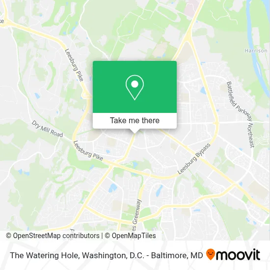
See The Watering Hole, Loudoun County, on the map
Public Transit to The Watering Hole in Loudoun County
Wondering how to get to The Watering Hole in Loudoun County? Moovit helps you find the best way to get to The Watering Hole with step-by-step directions from the nearest public transit station.
Moovit provides free maps and live directions to help you navigate through your city. View schedules, routes, timetables, and find out how long does it take to get to The Watering Hole in real time.
Looking for the nearest stop or station to The Watering Hole? Check out this list of stops closest to your destination: King St & Fairfax St; Harrison St & Catoctin Cir; Courthouse; Market St & Harrison St; Loudoun County Government Center.
Bus: 182, 351, 70, 55, 56, 57, STLCH, 181, 581, 582.
Want to see if there’s another route that gets you there at an earlier time? Moovit helps you find alternative routes or times. Get directions from and directions to The Watering Hole easily from the Moovit App or Website.
We make riding to The Watering Hole easy, which is why over 1.7 million users, including users in Loudoun County, trust Moovit as the best app for public transit. You don’t need to download an individual bus app or train app, Moovit is your all-in-one transit app that helps you find the best bus time or train time available.
For information on prices of bus and metro, costs and ride fares to The Watering Hole, please check the Moovit app.
Use the app to navigate to popular places including to the airport, hospital, stadium, grocery store, mall, coffee shop, school, college, and university.
The Watering Hole Address: 414 S King St street in Loudoun County
- Alliance Community Management,
- Leesburg, Virginia,
- Anibal P. Lopez Irrigation and Lighting,
- Leesburg Courthouse & Confederate Memorial,
- State Garage Door Repair Service,
- Thai Massage,
- Sarelatech,
- Loudoun Hospital Center Heliport,
- Market Morven Park,
- Terri Evans,
- Sabor Latino Leesburg,
- Pupalicious Treats by Chris,
- Bimini Savior,
- Verizon,
- Navy Federal Credit Union,
- Walmart,
- KLP,
- Uniform Outlet,
- Lucky Brand Leesburg Corner Premium Outlets,
- Autonation
Places Near The Watering Hole (Loudoun County)
- Marriott Marquis Washington, DC, Washington,
- Rock Creek Tennis Center, Washington,
- Westfield Montgomery Mall, Montgomery County,
- National Theatre, Washington,
- Amazon Hq2, Arlington County,
- M&T Bank Stadium, Baltimore,
- Basilica of the National Shrine, Washington,
- Warner Theatre, Washington,
- National Museum of African American History and Culture, Washington,
- Washington National Cathedral, Washington,
- Camden Yards, Baltimore,
- Museum Of The Bible, Washington,
- Washington DC VA Medical Center, Washington,
- The Anthem, Washington,
- Capital One Arena, Washington,
- Sibley Memorial Hospital, Washington,
- Georgetown, Washington,
- National Zoo, Washington,
- Pennsylvania Ave NW (3rd st and pennsylvania), Washington,
- PG Mall, Prince George's County
How to get to popular places in Washington, D.C. - Baltimore, MD with public transit
Get around Loudoun County by public transit!
Traveling around Loudoun County has never been so easy. See step by step directions as you travel to any attraction, street or major public transit station. View bus and train schedules, arrival times, service alerts and detailed routes on a map, so you know exactly how to get to anywhere in Loudoun County.
When traveling to any destination around Loudoun County use Moovit's Live Directions with Get Off Notifications to know exactly where and how far to walk, how long to wait for your line, and how many stops are left. Moovit will alert you when it's time to get off — no need to constantly re-check whether yours is the next stop.
Wondering how to use public transit in Loudoun County or how to pay for public transit in Loudoun County? Moovit public transit app can help you navigate your way with public transit easily, and at minimum cost. It includes public transit fees, ticket prices, and costs. Looking for a map of Loudoun County public transit lines? Moovit public transit app shows all public transit maps in Loudoun County with all Bus, Train, Metro, Light Rail and Ferry routes and stops on an interactive map.
Washington, D.C. - Baltimore, MD has 5 transit type(s), including: Bus, Train, Metro, Light Rail and Ferry, operated by several transit agencies, including WMATA, Montgomery County Ride On, Fairfax Connector, TheBus, PRTC, DASH - Alexandria, Arlington Transit (ART), RTA of Central Maryland, MDOT MTA, MDOT MTA Light RailLink, MDOT MTA Commuter Bus, MDOT MTA Local Bus, FXBGO!, Virginia Railway Express (VRE) and MARC