How to get to Thea Heier by bus?
Click on the bus route to see step by step directions with maps, line arrival times and updated time schedules.
From Baden-Baden, Karlsruhe/Baden-Baden Airport, Rheinmünster
45 minFrom Hopfenschlingel, Vereinbarte Verwaltungsgemeinschaft Rastatt
54 minFrom Grinde-Hütte, Seebach
65 minFrom Schloss Neuenbürg, Verwaltungsgemeinschaft Neuenbürg
111 minFrom Mercedes-Benz Werk Rastatt, Vereinbarte Verwaltungsgemeinschaft Rastatt
61 minFrom 75217, Birkenfeld
119 minFrom Lotto-Annahmestelle, Vereinbarte Verwaltungsgemeinschaft Sinzheim
27 min
Bus stops near Thea Heier in Stuttgart
Bus lines to Thea Heier in Stuttgart
- 208, Bad Augustaplatz / Museum Burda,VIEW
- 204, Baden-Baden Merkurwald,VIEW
- 205, Baden-Baden Friedrichshöhe,VIEW
- 214, Bad Leopoldsplatz (Luisenstraße),VIEW
- 244, Loffenau Breitenackerweg,VIEW
- X44, Bad Augustaplatz / Museum Burda,VIEW
- 204, Baden-Baden Merkurwald - Malschbach,VIEW
- 205, BAD Leopoldsplatz (Luisenstraße) - Baden-Baden,VIEW
- 205, Baden-Baden Leopoldspl. (Sophienstr.) - Baden-Baden Friedrichshöhe,VIEW
- 214, Gaggenau - BAD Augustapl. / Museum Burda,VIEW
- 214, BAD Augustaplatz / Museum Burda - Gaggenau,VIEW
- 214, Baden-Baden Leopoldspl. (Sophienstr.) - Gaggenau,VIEW
- 244, Baden-Baden - Gernsbach,VIEW
- X44, Bad Herrenalb - Bühl (Baden) Bstg 1,VIEW
- 201, Baden-Baden - Oberbeuern,VIEW
- 201/205, Baden-Baden - Lichtental,VIEW
- 201E, Baden-Baden - BAD Augustapl. / Museum Burda,VIEW
- 206, Balg Friedhof - BAD Augustapl. / Museum Burda,VIEW
- 207, BAD Leopoldsplatz (Luisenstraße) - Sinzheim Goethestraße,VIEW
- 216, Neuweier Kirche - Haueneberstein Industriegebiet,VIEW
What are the closest stations to Thea Heier?
The closest stations to Thea Heier are:
- Baden-Baden Marktplatz/Rath. is 89 meters away, 2 min walk.
- Bad Leopoldspl. (Sophienstr.) is 107 meters away, 2 min walk.
- Baden-Baden Leopoldspl. (Sophienstr.) is 107 meters away, 2 min walk.
- Bad Leopoldsplatz (Luisenstraße) is 122 meters away, 2 min walk.
Which bus lines stop near Thea Heier?
These bus lines stop near Thea Heier: 201, 207, 213, 214, 218, 244, X44, X45.
What’s the nearest bus station to Thea Heier in Stuttgart?
The nearest bus stations to Thea Heier in Stuttgart are Baden-Baden Marktplatz/Rath., Bad Leopoldspl. (Sophienstr.), Baden-Baden Leopoldspl. (Sophienstr.) and Bad Leopoldsplatz (Luisenstraße). The closest one is a 2 min walk away.
What time is the first bus to Thea Heier in Stuttgart?
The 201 is the first bus that goes to Thea Heier in Stuttgart. It stops nearby at 4:47 AM.
What time is the last bus to Thea Heier in Stuttgart?
The 201/205 is the last bus that goes to Thea Heier in Stuttgart. It stops nearby at 2:01 AM.
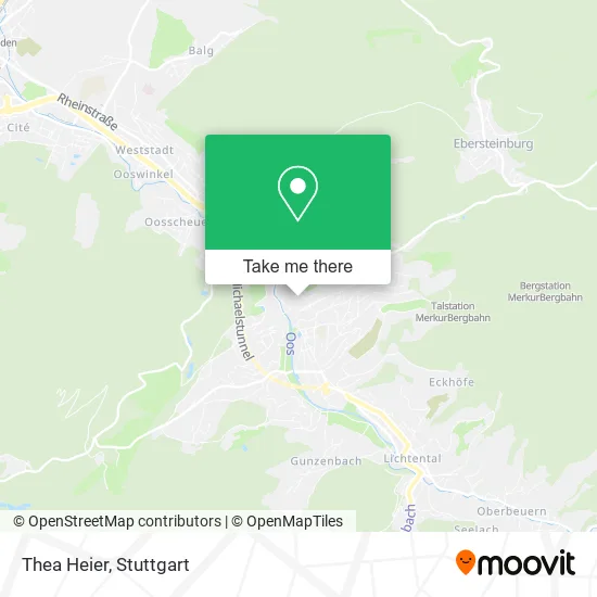
See Thea Heier, Stuttgart, on the map
Public Transit to Thea Heier in Stuttgart
Wondering how to get to Thea Heier in Stuttgart? Moovit helps you find the best way to get to Thea Heier with step-by-step directions from the nearest public transit station.
Moovit provides free maps and live directions to help you navigate through your city. View schedules, routes, timetables, and find out how long does it take to get to Thea Heier in real time.
Looking for the nearest stop or station to Thea Heier? Check out this list of stops closest to your destination: Baden-Baden Marktplatz/Rath.; Bad Leopoldspl. (Sophienstr.); Baden-Baden Leopoldspl. (Sophienstr.); Bad Leopoldsplatz (Luisenstraße).
Bus: 201, 207, 213, 214, 218, 244, X44, X45, 208, 208, 204, 205, 204, 205, 205, 201/205, 201E, 206, 201/205, 206.
Want to see if there’s another route that gets you there at an earlier time? Moovit helps you find alternative routes or times. Get directions from and directions to Thea Heier easily from the Moovit App or Website.
We make riding to Thea Heier easy, which is why over 1.5 million users, including users in Stuttgart, trust Moovit as the best app for public transit. You don’t need to download an individual bus app or train app, Moovit is your all-in-one transit app that helps you find the best bus time or train time available.
For information on prices of bus, train and light rail, costs and ride fares to Thea Heier, please check the Moovit app.
Use the app to navigate to popular places including to the airport, hospital, stadium, grocery store, mall, coffee shop, school, college, and university.
Thea Heier Address: Büttenstraße 6 76530 Baden-Baden street in Stuttgart
- Vegetarisches Restaurant,
- Aed Rathaus,
- Naturkost-Café,
- Ceragem-Center Baden-Baden,
- Gertrud Thelen,
- Goldschmiede Weber,
- Rathaushof-Brunnen,
- Goldschmiedera,
- Planb Organisationsberatung,
- Luise Marie Auguste Prinzessin Von Baden,
- Katz Immobilien,
- Baden-Baden Cigar Club,
- Teresa Toro,
- Essentia Maßage - Muriel Damanet Maßagepraxis,
- Dr. Bettina Büchler,
- Antiquariat im Baldreit,
- Baldreit,
- Friseursalon Sebastian,
- Rathaus,
- Pfarramt Liebfrauen
Places Near Thea Heier (Stuttgart)
- Mercedes-Benz Museum, Bad Cannstatt,
- Hauptbahnhof Stuttgart, Stuttgart-Mitte,
- Mettingen Eros-Center Puff Laufhaus, Esslingen Am Neckar,
- Mercedes-Benz Museum (Mercedes Museum Stuttgart), Bad Cannstatt,
- Im Wizemann (Halle), Bad Cannstatt,
- Gleis 101/102 (tief), Stuttgart-Mitte,
- Porsche-Arena, Bad Cannstatt,
- Hanns-Martin-Schleyer-Halle (Stuttgart Hans-Martin-Schleyerhalle), Bad Cannstatt,
- Wilhelma (U-Bahn Wilhelma), Bad Cannstatt,
- Klinikum Stuttgart - Katharinenhospital, Stuttgart-Mitte,
- FlixBus Haltestelle, Stuttgart,
- Schleyerhalle, Bad Cannstatt,
- Gasometer Pforzheim, Pforzheim,
- Waldfriedhof, Degerloch,
- Marmorsaal Im Weissenburgpark, Stuttgart-Süd,
- Porsche Museum, Zuffenhausen,
- Geilhaus Haus 33a, Reutlingen-Betzingen,
- SI-Centrum, Möhringen,
- Hanns-Martin-Schleyer-Halle, Bad Cannstatt,
- Pariser Platz Stuttgart, Stuttgart-Mitte
How to get to popular places in Stuttgart with public transit
Get around Stuttgart by public transit!
Traveling around Stuttgart has never been so easy. See step by step directions as you travel to any attraction, street or major public transit station. View bus and train schedules, arrival times, service alerts and detailed routes on a map, so you know exactly how to get to anywhere in Stuttgart.
When traveling to any destination around Stuttgart use Moovit's Live Directions with Get Off Notifications to know exactly where and how far to walk, how long to wait for your line, and how many stops are left. Moovit will alert you when it's time to get off — no need to constantly re-check whether yours is the next stop.
Wondering how to use public transit in Stuttgart or how to pay for public transit in Stuttgart? Moovit public transit app can help you navigate your way with public transit easily, and at minimum cost. It includes public transit fees, ticket prices, and costs. Looking for a map of Stuttgart public transit lines? Moovit public transit app shows all public transit maps in Stuttgart with all Bus, Train, Subway, Light Rail, Ferry, S-Bahn and Funicular routes and stops on an interactive map.
Stuttgart has 7 transit type(s), including: Bus, Train, Subway, Light Rail, Ferry, S-Bahn and Funicular, operated by several transit agencies, including SSB - Stadtbahn, SSB, SSB - Seilbahn / Zacke, S-Bahn Stuttgart, Rhein-Neckar-Verkehr GmbH (rnv), Karlsruher Verkehrsverbund, DB AG, DB Regiobus BW, Arverio Baden-Württemberg GmbH, DB RegioNetz Verkehrs GmbH Westfrankenbahn, DB Regio AG Baden-Württemberg, Südwestdeutsche Verkehrs-AG, DB Regio AG Mitte Region Hessen, DB and Bodensee-Oberschwaben-Bahn