How to get to Thomas Custom Cleaners by bus?
Click on the bus route to see step by step directions with maps, line arrival times and updated time schedules.
From Orlando Florida, Homestead
40 minFrom Zoo Miami, Kendale Lakes-Tamiami
125 minFrom Robert Morgan Educational Center, Kendale Lakes-Tamiami
92 minFrom Cutler Bay, FL, Princeton-Goulds
102 minFrom Florida City, Homestead
37 minFrom Florida City, FL, Homestead
40 minFrom Eureka Drive & U.S. 1, Kendall-Palmetto Bay
71 minFrom Florida Keys Outlet Marketplace, Homestead
49 minFrom US 1@SW 248 St, Princeton-Goulds
52 minFrom Herbert Ammons Middle School, Kendale Lakes-Tamiami
126 min
Bus stops near Thomas Custom Cleaners in Homestead
Bus lines to Thomas Custom Cleaners in Homestead
What are the closest stations to Thomas Custom Cleaners?
The closest stations to Thomas Custom Cleaners are:
- Sw 312th St @ Sw 147th Ave is 1007 yards away, 12 min walk.
- E-Bound Campbell Dr (Publix Shopping Center) is 1146 yards away, 14 min walk.
- Baptist Way @ 975 is 1212 yards away, 15 min walk.
Which bus lines stop near Thomas Custom Cleaners?
These bus lines stop near Thomas Custom Cleaners: 35, EAST/WEST.
What’s the nearest bus station to Thomas Custom Cleaners in Homestead?
The nearest bus station to Thomas Custom Cleaners in Homestead is Sw 312th St @ Sw 147th Ave. It’s a 12 min walk away.
What time is the first bus to Thomas Custom Cleaners in Homestead?
The 35 is the first bus that goes to Thomas Custom Cleaners in Homestead. It stops nearby at 5:29 AM.
What time is the last bus to Thomas Custom Cleaners in Homestead?
The 35 is the last bus that goes to Thomas Custom Cleaners in Homestead. It stops nearby at 12:14 AM.
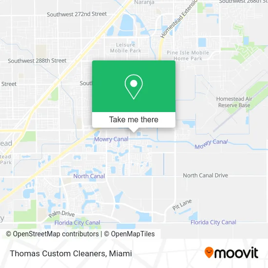
See Thomas Custom Cleaners, Homestead, on the map
Public Transit to Thomas Custom Cleaners in Homestead
Wondering how to get to Thomas Custom Cleaners in Homestead? Moovit helps you find the best way to get to Thomas Custom Cleaners with step-by-step directions from the nearest public transit station.
Moovit provides free maps and live directions to help you navigate through your city. View schedules, routes, timetables, and find out how long does it take to get to Thomas Custom Cleaners in real time.
Looking for the nearest stop or station to Thomas Custom Cleaners? Check out this list of stops closest to your destination: Sw 312th St @ Sw 147th Ave; E-Bound Campbell Dr (Publix Shopping Center); Baptist Way @ 975.
Bus: 35, EAST/WEST, HOMECR.
Want to see if there’s another route that gets you there at an earlier time? Moovit helps you find alternative routes or times. Get directions from and directions to Thomas Custom Cleaners easily from the Moovit App or Website.
We make riding to Thomas Custom Cleaners easy, which is why over 1.5 million users, including users in Homestead, trust Moovit as the best app for public transit. You don’t need to download an individual bus app or train app, Moovit is your all-in-one transit app that helps you find the best bus time or train time available.
For information on prices of bus, costs and ride fares to Thomas Custom Cleaners, please check the Moovit app.
Use the app to navigate to popular places including to the airport, hospital, stadium, grocery store, mall, coffee shop, school, college, and university.
Thomas Custom Cleaners Address: 3338 NE 7th St Homestead, FL 33033 street in Homestead
- Smoothie King,
- Miami Clippers,
- Bryan Manderville,
- 24 Hour Fitness,
- Crystal Lakes,
- TRANSIT Sun School Transportation,
- Poke 1800 and Tea,
- Vicky Bakery Homestead,
- Chick-fil-A,
- RCG Tile Solutions,
- Electrical Services Unlimited,
- Florida Hydro Worx LLC, Pressure Cleaning, Roof Cleaning, Soft Wash,
- Accessibility Tools,
- Dade Tax Services,
- ChargeUp,
- Bonnet Computer Re,
- Frantz R Lerebours, MD,
- Baptist Health South Florida Homestead Hospital,
- Christopher Keith Senkowski, MD,
- Ekg Associates of SMH Homestead
Places Near Thomas Custom Cleaners (Homestead)
- Bayside Marketplace, Miami,
- Port of Miami Cruise Terminal, Miami,
- Miami-Dade County Courthouse, Miami,
- Hard Rock Stadium, Miami Gardens,
- Marlins Park, Miami,
- Sawgrass Mall, Miami,
- Dolphin Mall Bus, Miami,
- Richard E. Gerstein Justice Building, Miami,
- Keiser University Flagship Campus, West Palm Beach,
- Dolphin Mall, Miami,
- Miami Design District, Miami,
- Little Havana, Miami,
- Miami VA Hospital, Miami,
- Sawgrass mall ( FL ), Miami Beach,
- Zoo Miami, Miami,
- Brickell City Centre, Miami,
- Aventura Mall, Miami,
- Miami Freedom Park, Miami,
- Aventura Mall, Miami Beach,
- Wynwood, Miami
How to get to popular places in Miami with public transit
Get around Homestead by public transit!
Traveling around Homestead has never been so easy. See step by step directions as you travel to any attraction, street or major public transit station. View bus and train schedules, arrival times, service alerts and detailed routes on a map, so you know exactly how to get to anywhere in Homestead.
When traveling to any destination around Homestead use Moovit's Live Directions with Get Off Notifications to know exactly where and how far to walk, how long to wait for your line, and how many stops are left. Moovit will alert you when it's time to get off — no need to constantly re-check whether yours is the next stop.
Wondering how to use public transit in Homestead or how to pay for public transit in Homestead? Moovit public transit app can help you navigate your way with public transit easily, and at minimum cost. It includes public transit fees, ticket prices, and costs. Looking for a map of Homestead public transit lines? Moovit public transit app shows all public transit maps in Homestead with all Bus, Train, Light Rail and Ferry routes and stops on an interactive map.
Miami has 4 transit type(s), including: Bus, Train, Light Rail and Ferry, operated by several transit agencies, including Broward County Transit, Miami-Dade Transit, Metrorail, Palm Tran, Tri-Rail, Brightline, MARTY, City of Homestead Trolley, Key West Transit, Treasure Coast Connector, GoLine IRT, Amtrak, Greyhound-us, FlixBus-us and Aventura Express Shuttle Bus