How to get to Thomas Duncan Pa by bus?
Click on the bus route to see step by step directions with maps, line arrival times and updated time schedules.
Bus stops near Thomas Duncan Pa in Norfolk
Light Rail stations near Thomas Duncan Pa in Norfolk
- Newtown Road Station, 35 min walk,VIEW
Bus lines to Thomas Duncan Pa in Norfolk
What are the closest stations to Thomas Duncan Pa?
The closest stations to Thomas Duncan Pa are:
- Kempsville & Kempsville Cir is 407 yards away, 5 min walk.
- Newtown & Ethan Allen is 776 yards away, 10 min walk.
- Newtown Road Station is 2982 yards away, 35 min walk.
Which bus lines stop near Thomas Duncan Pa?
These bus lines stop near Thomas Duncan Pa: 020, 967, GREYHOUND US0654S.
Which light rail line stops near Thomas Duncan Pa?
800 (Newtown Road Station)
What’s the nearest bus station to Thomas Duncan Pa in Norfolk?
The nearest bus station to Thomas Duncan Pa in Norfolk is Kempsville & Kempsville Cir. It’s a 5 min walk away.
What time is the first light rail to Thomas Duncan Pa in Norfolk?
The 800 is the first light rail that goes to Thomas Duncan Pa in Norfolk. It stops nearby at 5:27 AM.
What time is the last light rail to Thomas Duncan Pa in Norfolk?
The 800 is the last light rail that goes to Thomas Duncan Pa in Norfolk. It stops nearby at 11:54 PM.
What time is the first bus to Thomas Duncan Pa in Norfolk?
The 020 is the first bus that goes to Thomas Duncan Pa in Norfolk. It stops nearby at 5:50 AM.
What time is the last bus to Thomas Duncan Pa in Norfolk?
The 020 is the last bus that goes to Thomas Duncan Pa in Norfolk. It stops nearby at 12:41 AM.
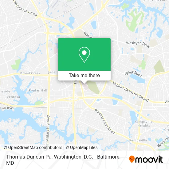
See Thomas Duncan Pa, Norfolk, on the map
Public Transit to Thomas Duncan Pa in Norfolk
Wondering how to get to Thomas Duncan Pa in Norfolk? Moovit helps you find the best way to get to Thomas Duncan Pa with step-by-step directions from the nearest public transit station.
Moovit provides free maps and live directions to help you navigate through your city. View schedules, routes, timetables, and find out how long does it take to get to Thomas Duncan Pa in real time.
Looking for the nearest stop or station to Thomas Duncan Pa? Check out this list of stops closest to your destination: Kempsville & Kempsville Cir; Newtown & Ethan Allen; Newtown Road Station.
Bus: 020, 967, GREYHOUND US0654S, 025, 022, 027.Light Rail: 800.
Want to see if there’s another route that gets you there at an earlier time? Moovit helps you find alternative routes or times. Get directions from and directions to Thomas Duncan Pa easily from the Moovit App or Website.
We make riding to Thomas Duncan Pa easy, which is why over 1.7 million users, including users in Norfolk, trust Moovit as the best app for public transit. You don’t need to download an individual bus app or train app, Moovit is your all-in-one transit app that helps you find the best bus time or train time available.
For information on prices of bus, train and light rail, costs and ride fares to Thomas Duncan Pa, please check the Moovit app.
Use the app to navigate to popular places including to the airport, hospital, stadium, grocery store, mall, coffee shop, school, college, and university.
Thomas Duncan Pa Address: 844 Kempsville Rd Ste 204 street in Norfolk
- Norfolk Psychiatric Center,
- Sentara Leigh Hospital Heliport,
- Kempsville Center For Behavioral Health,
- Sentara Leigh Hospital,
- Secep Administrative Offices,
- Virginia State Police Division 5 Area 32 Office,
- Woodlawn Memorial Gardens,
- Food Lion,
- Thomas Corner Station Norfolk Post Office,
- Barry Robinson Center School,
- Cvs Pharmacy,
- Cvs Pharmacy,
- Furniture Liquidators,
- Loanmax,
- Fairlawn Elementary School,
- Washland,
- Glen Rock,
- First Baptist Church,
- Cort Furniture,
- Costco
Places Near Thomas Duncan Pa (Norfolk)
- The Anthem, Washington,
- Washington DC VA Medical Center, Washington,
- Camden Yards, Baltimore,
- M&T Bank Stadium, Baltimore,
- National Zoo, Washington,
- Westfield Montgomery Mall, Montgomery County,
- Marriott Marquis Washington, DC, Washington,
- Washington National Cathedral, Washington,
- National Theatre, Washington,
- Amazon Hq2, Arlington County,
- Georgetown, Washington,
- Capital One Arena, Washington,
- Warner Theatre, Washington,
- Rock Creek Tennis Center, Washington,
- National Museum of African American History and Culture, Washington,
- Museum Of The Bible, Washington,
- Sibley Memorial Hospital, Washington,
- Basilica of the National Shrine, Washington,
- Pennsylvania Ave NW (3rd st and pennsylvania), Washington,
- PG Mall, Prince George's County
How to get to popular places in Washington, D.C. - Baltimore, MD with public transit
Get around Norfolk by public transit!
Traveling around Norfolk has never been so easy. See step by step directions as you travel to any attraction, street or major public transit station. View bus and train schedules, arrival times, service alerts and detailed routes on a map, so you know exactly how to get to anywhere in Norfolk.
When traveling to any destination around Norfolk use Moovit's Live Directions with Get Off Notifications to know exactly where and how far to walk, how long to wait for your line, and how many stops are left. Moovit will alert you when it's time to get off — no need to constantly re-check whether yours is the next stop.
Wondering how to use public transit in Norfolk or how to pay for public transit in Norfolk? Moovit public transit app can help you navigate your way with public transit easily, and at minimum cost. It includes public transit fees, ticket prices, and costs. Looking for a map of Norfolk public transit lines? Moovit public transit app shows all public transit maps in Norfolk with all Bus, Train, Metro, Light Rail and Ferry routes and stops on an interactive map.
Washington, D.C. - Baltimore, MD has 5 transit type(s), including: Bus, Train, Metro, Light Rail and Ferry, operated by several transit agencies, including WMATA, Montgomery County Ride On, Fairfax Connector, TheBus, PRTC, DASH - Alexandria, Arlington Transit (ART), RTA of Central Maryland, MDOT MTA, MDOT MTA Light RailLink, MDOT MTA Commuter Bus, MDOT MTA Local Bus, FXBGO!, Virginia Railway Express (VRE) and MARC