How to get to Three Miles Design & Construction by bus?
Click on the bus route to see step by step directions with maps, line arrival times and updated time schedules.
From Lorton, VA - Amtrak Auto Train Station (LOR), Fairfax County
245 minFrom Lorton, VA, Fairfax County
239 minFrom Busch Gardens Williamsburg (Employee Parking Lot), James City County
168 minFrom Potomac Mills Mall, Prince William County
230 minFrom Rose Gaming Resort, Prince William County
255 minFrom Woodbridge, VA, Prince William County
163 minFrom UVA Hospital Medical Center, Charlottesville
319 minFrom Amazon Fulfillment Center-Ric3, Richmond
85 min
Bus stops near Three Miles Design & Construction in Richmond
Train station near Three Miles Design & Construction in Richmond
- Pathrichmond Main Street Amtrak Station, 26 min walk,VIEW
Bus lines to Three Miles Design & Construction in Richmond
What are the closest stations to Three Miles Design & Construction?
The closest stations to Three Miles Design & Construction are:
- Brookland Park Boulevard & Montrose is 281 yards away, 4 min walk.
- Chamberlayne + Hammond is 719 yards away, 9 min walk.
- North + Essex is 778 yards away, 10 min walk.
- Pathrichmond Main Street Amtrak Station is 2165 yards away, 26 min walk.
Which bus lines stop near Three Miles Design & Construction?
These bus lines stop near Three Miles Design & Construction: 1, 14, 20, 2A.
What’s the nearest train station to Three Miles Design & Construction in Richmond?
The nearest train station to Three Miles Design & Construction in Richmond is Pathrichmond Main Street Amtrak Station. It’s a 26 min walk away.
What’s the nearest bus station to Three Miles Design & Construction in Richmond?
The nearest bus station to Three Miles Design & Construction in Richmond is Brookland Park Boulevard & Montrose. It’s a 4 min walk away.
What time is the first train to Three Miles Design & Construction in Richmond?
The NORTHEAST REGIONAL is the first train that goes to Three Miles Design & Construction in Richmond. It stops nearby at 5:19 AM.
What time is the last train to Three Miles Design & Construction in Richmond?
The NORTHEAST REGIONAL is the last train that goes to Three Miles Design & Construction in Richmond. It stops nearby at 6:52 PM.
What time is the first bus to Three Miles Design & Construction in Richmond?
The 1 is the first bus that goes to Three Miles Design & Construction in Richmond. It stops nearby at 4:55 AM.
What time is the last bus to Three Miles Design & Construction in Richmond?
The 1 is the last bus that goes to Three Miles Design & Construction in Richmond. It stops nearby at 12:16 AM.
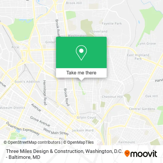
See Three Miles Design & Construction, Richmond, on the map
Public Transit to Three Miles Design & Construction in Richmond
Wondering how to get to Three Miles Design & Construction in Richmond? Moovit helps you find the best way to get to Three Miles Design & Construction with step-by-step directions from the nearest public transit station.
Moovit provides free maps and live directions to help you navigate through your city. View schedules, routes, timetables, and find out how long does it take to get to Three Miles Design & Construction in real time.
Looking for the nearest stop or station to Three Miles Design & Construction? Check out this list of stops closest to your destination: Brookland Park Boulevard & Montrose; Chamberlayne + Hammond; North + Essex; Pathrichmond Main Street Amtrak Station.
Bus: 1, 14, 20, 2A, 2B, 2C.Train: NORTHEAST REGIONAL.
Want to see if there’s another route that gets you there at an earlier time? Moovit helps you find alternative routes or times. Get directions from and directions to Three Miles Design & Construction easily from the Moovit App or Website.
We make riding to Three Miles Design & Construction easy, which is why over 1.5 million users, including users in Richmond, trust Moovit as the best app for public transit. You don’t need to download an individual bus app or train app, Moovit is your all-in-one transit app that helps you find the best bus time or train time available.
For information on prices of bus and train, costs and ride fares to Three Miles Design & Construction, please check the Moovit app.
Use the app to navigate to popular places including to the airport, hospital, stadium, grocery store, mall, coffee shop, school, college, and university.
Three Miles Design & Construction Address: 2811 Montrose Ave Richmond, VA 23222 street in Richmond
- Highfalutin Junk,
- Team Eight,
- Mt Hermon Baptist Church,
- Mstudioc,
- The Bottom Half,
- Battery Park,
- Blade Lash,
- Riverside Auto Glass,
- Another Limited Rebellion,
- Hair Affair Unlimited,
- Street Action Auto Sales,
- Fleming's Barber Shop,
- Number 1 Cleaners,
- Sonyas Seafood,
- Coach BS Shop Fish Market,
- Bouquets by Sylvia,
- Success by Dezign,
- ATM,
- Marie's Hair and Nail Supply,
- Brooklyn Taxi Service
Places Near Three Miles Design & Construction (Richmond)
- National Zoo, Washington,
- Washington National Cathedral, Washington,
- National Museum of African American History and Culture, Washington,
- Museum Of The Bible, Washington,
- Basilica of the National Shrine, Washington,
- Capital One Arena, Washington,
- Warner Theatre, Washington,
- Westfield Montgomery Mall, Montgomery County,
- Amazon Hq2, Arlington County,
- Washington DC VA Medical Center, Washington,
- Sibley Memorial Hospital, Washington,
- National Mall, Washington,
- Georgetown, Washington,
- The Anthem, Washington,
- Pennsylvania Ave NW (3rd st and pennsylvania), Washington,
- Camden Yards, Baltimore,
- Marriott Marquis Washington, DC, Washington,
- PG Mall, Prince George's County,
- Rock Creek Tennis Center, Washington,
- M&T Bank Stadium, Baltimore
How to get to popular places in Washington, D.C. - Baltimore, MD with public transit
Get around Richmond by public transit!
Traveling around Richmond has never been so easy. See step by step directions as you travel to any attraction, street or major public transit station. View bus and train schedules, arrival times, service alerts and detailed routes on a map, so you know exactly how to get to anywhere in Richmond.
When traveling to any destination around Richmond use Moovit's Live Directions with Get Off Notifications to know exactly where and how far to walk, how long to wait for your line, and how many stops are left. Moovit will alert you when it's time to get off — no need to constantly re-check whether yours is the next stop.
Wondering how to use public transit in Richmond or how to pay for public transit in Richmond? Moovit public transit app can help you navigate your way with public transit easily, and at minimum cost. It includes public transit fees, ticket prices, and costs. Looking for a map of Richmond public transit lines? Moovit public transit app shows all public transit maps in Richmond with all Bus, Train, Metro, Light Rail and Ferry routes and stops on an interactive map.
Washington, D.C. - Baltimore, MD has 5 transit type(s), including: Bus, Train, Metro, Light Rail and Ferry, operated by several transit agencies, including WMATA, Montgomery County Ride On, Fairfax Connector, TheBus, PRTC, DASH - Alexandria, Arlington Transit (ART), RTA of Central Maryland, MDOT MTA, MDOT MTA Light RailLink, MDOT MTA Commuter Bus, MDOT MTA Local Bus, FXBGO!, Virginia Railway Express (VRE) and MARC