How to get to Three Sisters by bus?
Click on the bus route to see step by step directions with maps, line arrival times and updated time schedules.
From Martin Luther King Jr Ave SE, Washington
114 minFrom DC Superior Court Building A, Washington
60 minFrom Pie Shop, Washington
70 minFrom Columbia MD-195, Montgomery County
115 minFrom Allstate Insurance Agent: Azqa Goraya, Prince George's County
109 minFrom Fashion Centre At Pentagon City, Arlington County
62 minFrom Festival Grounds at RFK Campus, Washington
89 minFrom L'Enfant Plaza, Washington
62 minFrom United States National Arboretum, Washington
97 minFrom Costco Wholesale, Arlington County
63 min
How to get to Three Sisters by metro?
Click on the metro route to see step by step directions with maps, line arrival times and updated time schedules.
From DC Superior Court Building A, Washington
56 minFrom Pie Shop, Washington
76 minFrom Columbia MD-195, Montgomery County
74 minFrom Allstate Insurance Agent: Azqa Goraya, Prince George's County
83 minFrom Fashion Centre At Pentagon City, Arlington County
43 minFrom Festival Grounds at RFK Campus, Washington
68 minFrom L'Enfant Plaza, Washington
53 minFrom Costco Wholesale, Arlington County
48 min
Bus stop near Three Sisters in Washington
- Foxhall Rd Nw+Macarthur Bl NW, 15 min walk,VIEW
Metro station near Three Sisters in Washington
- Rosslyn Metro Station, 33 min walk,VIEW
Bus lines to Three Sisters in Washington
What are the closest stations to Three Sisters?
The closest stations to Three Sisters are:
- Foxhall Rd Nw+Macarthur Bl NW is 1213 yards away, 15 min walk.
- Rosslyn Metro Station is 2756 yards away, 33 min walk.
Which bus lines stop near Three Sisters?
These bus lines stop near Three Sisters: A58, D80, D94.
Which metro lines stop near Three Sisters?
These metro lines stop near Three Sisters: BLUE, ORANGE, SILVER.
What’s the nearest bus station to Three Sisters in Washington?
The nearest bus station to Three Sisters in Washington is Foxhall Rd Nw+Macarthur Bl NW. It’s a 15 min walk away.
What time is the first metro to Three Sisters in Washington?
The ORANGE is the first metro that goes to Three Sisters in Washington. It stops nearby at 5:17 AM.
What time is the last metro to Three Sisters in Washington?
The BLUE is the last metro that goes to Three Sisters in Washington. It stops nearby at 12:18 AM.
What time is the first bus to Three Sisters in Washington?
The D94 is the first bus that goes to Three Sisters in Washington. It stops nearby at 5:09 AM.
What time is the last bus to Three Sisters in Washington?
The D94 is the last bus that goes to Three Sisters in Washington. It stops nearby at 12:25 AM.
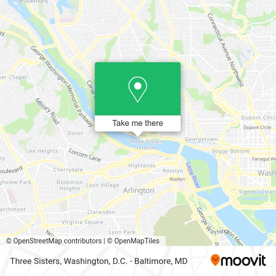
See Three Sisters, Washington, on the map
Public Transit to Three Sisters in Washington
Wondering how to get to Three Sisters in Washington? Moovit helps you find the best way to get to Three Sisters with step-by-step directions from the nearest public transit station.
Moovit provides free maps and live directions to help you navigate through your city. View schedules, routes, timetables, and find out how long does it take to get to Three Sisters in real time.
Looking for the nearest stop or station to Three Sisters? Check out this list of stops closest to your destination: Foxhall Rd Nw+Macarthur Bl NW; Rosslyn Metro Station.
Bus: A58, D80, D94, C85.Metro: BLUE, ORANGE, SILVER.
Want to see if there’s another route that gets you there at an earlier time? Moovit helps you find alternative routes or times. Get directions from and directions to Three Sisters easily from the Moovit App or Website.
We make riding to Three Sisters easy, which is why over 1.5 million users, including users in Washington, trust Moovit as the best app for public transit. You don’t need to download an individual bus app or train app, Moovit is your all-in-one transit app that helps you find the best bus time or train time available.
For information on prices of bus and metro, costs and ride fares to Three Sisters, please check the Moovit app.
Use the app to navigate to popular places including to the airport, hospital, stadium, grocery store, mall, coffee shop, school, college, and university.
Three Sisters Address: Capital Crescent Trl Washington, DC 20007 street in Washington
- Carolyn Homes Carolyn Homes,
- Dr Maya V Oliver,
- Exercise Defined, Inc.,
- Baney Media,
- Palisades Village,
- Bowen Center,
- AAA 1 DC 24 7 Locksmith,
- East Coast Mechani,
- Hvac Mechanical Service,
- Body & Skin by Karen Fisher,
- Berkshire Hathaway Homeservices Penfed Realty Homes for Sale Mid,
- Q St NW (macarthur blvd nw & Q St),
- The Office of the General Counsel,
- Uscria,
- Hardy Park,
- Foxhall Rd NW Q St,
- McDonough Bus Turnaround,
- McDonough Arena - Georgetown University,
- Entrance GW Pkwy N,
- Reynolds Hall, Georgetown University
Places Near Three Sisters (Washington)
- Sibley Memorial Hospital, Washington,
- Rock Creek Tennis Center, Washington,
- Basilica of the National Shrine, Washington,
- Washington DC VA Medical Center, Washington,
- Washington National Cathedral, Washington,
- The Anthem, Washington,
- National Museum of African American History and Culture, Washington,
- Camden Yards, Baltimore,
- Marriott Marquis Washington, DC, Washington,
- National Theatre, Washington,
- Warner Theatre, Washington,
- Pennsylvania Ave NW (3rd st and pennsylvania), Washington,
- Museum Of The Bible, Washington,
- Georgetown, Washington,
- M&T Bank Stadium, Baltimore,
- National Zoo, Washington,
- Amazon Hq2, Arlington County,
- PG Mall, Prince George's County,
- Westfield Montgomery Mall, Montgomery County,
- Capital One Arena, Washington
How to get to popular places in Washington, D.C. - Baltimore, MD with public transit
Get around Washington by public transit!
Traveling around Washington has never been so easy. See step by step directions as you travel to any attraction, street or major public transit station. View bus and train schedules, arrival times, service alerts and detailed routes on a map, so you know exactly how to get to anywhere in Washington.
When traveling to any destination around Washington use Moovit's Live Directions with Get Off Notifications to know exactly where and how far to walk, how long to wait for your line, and how many stops are left. Moovit will alert you when it's time to get off — no need to constantly re-check whether yours is the next stop.
Wondering how to use public transit in Washington or how to pay for public transit in Washington? Moovit public transit app can help you navigate your way with public transit easily, and at minimum cost. It includes public transit fees, ticket prices, and costs. Looking for a map of Washington public transit lines? Moovit public transit app shows all public transit maps in Washington with all Bus, Train, Metro, Light Rail and Ferry routes and stops on an interactive map.
Washington, D.C. - Baltimore, MD has 5 transit type(s), including: Bus, Train, Metro, Light Rail and Ferry, operated by several transit agencies, including WMATA, Montgomery County Ride On, Fairfax Connector, TheBus, PRTC, DASH - Alexandria, Arlington Transit (ART), RTA of Central Maryland, MDOT MTA, MDOT MTA Light RailLink, MDOT MTA Commuter Bus, MDOT MTA Local Bus, FXBGO!, Virginia Railway Express (VRE) and MARC