How to get to Tidal Window by bus?
Click on the bus route to see step by step directions with maps, line arrival times and updated time schedules.
Bus stops near Tidal Window in Norfolk
Light Rail stations near Tidal Window in Norfolk
- York Street Freemason Station, 15 min walk,VIEW
What are the closest stations to Tidal Window?
The closest stations to Tidal Window are:
- Hampton & Princess Anne is 437 yards away, 6 min walk.
- Colley & Graydon is 465 yards away, 6 min walk.
- Olney & Norfolk General is 957 yards away, 12 min walk.
- York Street Freemason Station is 1210 yards away, 15 min walk.
Which bus lines stop near Tidal Window?
These bus lines stop near Tidal Window: 023, 961.
Which light rail line stops near Tidal Window?
800 (Evmc Fort Norfolk Station)
What’s the nearest light rail station to Tidal Window in Norfolk?
The nearest light rail station to Tidal Window in Norfolk is York Street Freemason Station. It’s a 15 min walk away.
What’s the nearest bus station to Tidal Window in Norfolk?
The nearest bus stations to Tidal Window in Norfolk are Hampton & Princess Anne and Colley & Graydon. The closest one is a 6 min walk away.
What time is the first light rail to Tidal Window in Norfolk?
The 800 is the first light rail that goes to Tidal Window in Norfolk. It stops nearby at 5:27 AM.
What time is the last light rail to Tidal Window in Norfolk?
The 800 is the last light rail that goes to Tidal Window in Norfolk. It stops nearby at 11:40 PM.
What time is the first bus to Tidal Window in Norfolk?
The 023 is the first bus that goes to Tidal Window in Norfolk. It stops nearby at 5:05 AM.
What time is the last bus to Tidal Window in Norfolk?
The 002 is the last bus that goes to Tidal Window in Norfolk. It stops nearby at 12:39 AM.
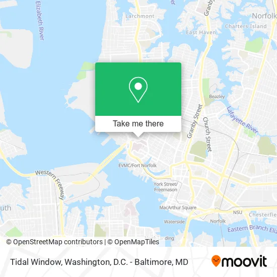
See Tidal Window, Norfolk, on the map
Public Transit to Tidal Window in Norfolk
Wondering how to get to Tidal Window in Norfolk? Moovit helps you find the best way to get to Tidal Window with step-by-step directions from the nearest public transit station.
Moovit provides free maps and live directions to help you navigate through your city. View schedules, routes, timetables, and find out how long does it take to get to Tidal Window in real time.
Looking for the nearest stop or station to Tidal Window? Check out this list of stops closest to your destination: Hampton & Princess Anne; Colley & Graydon; Olney & Norfolk General; York Street Freemason Station.
Bus: 023, 961, 002, 044.Light Rail: 800.
Want to see if there’s another route that gets you there at an earlier time? Moovit helps you find alternative routes or times. Get directions from and directions to Tidal Window easily from the Moovit App or Website.
We make riding to Tidal Window easy, which is why over 1.5 million users, including users in Norfolk, trust Moovit as the best app for public transit. You don’t need to download an individual bus app or train app, Moovit is your all-in-one transit app that helps you find the best bus time or train time available.
For information on prices of bus, train and light rail, costs and ride fares to Tidal Window, please check the Moovit app.
Use the app to navigate to popular places including to the airport, hospital, stadium, grocery store, mall, coffee shop, school, college, and university.
Tidal Window Address: Redgate Ave Norfolk, VA 23507 street in Norfolk
- Jasmine Brand Web Design Studio,
- Maxie Maids,
- Dutch Deck and Fence,
- 360 Reflection Detailing,
- Moving with Ease,
- Ghent Handyman,
- Clean AS Crystals,
- Zoomin Groomin,
- Norfolk Auto Glass Delivery,
- Dr Jeffrey H Morse MD,
- Rosalie,
- Edward Goldenberg,
- Kevin Maskrey LCSW,
- Balance Behavioral Health,
- Belinda T Sanders LCSW,
- Redgate Playground,
- CHKD Child Abuse Program,
- Greenway Court Park,
- Renal Treatment Center-Ghent,
- Dominion Physical Therapy
Places Near Tidal Window (Norfolk)
- Sibley Memorial Hospital, Washington,
- Marriott Marquis Washington, DC, Washington,
- Warner Theatre, Washington,
- Camden Yards, Baltimore,
- Basilica of the National Shrine, Washington,
- Rock Creek Tennis Center, Washington,
- Amazon Hq2, Arlington County,
- Museum Of The Bible, Washington,
- National Mall, Washington,
- National Museum of African American History and Culture, Washington,
- National Zoo, Washington,
- PG Mall, Prince George's County,
- Westfield Montgomery Mall, Montgomery County,
- The Anthem, Washington,
- Washington National Cathedral, Washington,
- Washington DC VA Medical Center, Washington,
- Georgetown, Washington,
- Pennsylvania Ave NW (3rd st and pennsylvania), Washington,
- M&T Bank Stadium, Baltimore,
- Capital One Arena, Washington
How to get to popular places in Washington, D.C. - Baltimore, MD with public transit
Get around Norfolk by public transit!
Traveling around Norfolk has never been so easy. See step by step directions as you travel to any attraction, street or major public transit station. View bus and train schedules, arrival times, service alerts and detailed routes on a map, so you know exactly how to get to anywhere in Norfolk.
When traveling to any destination around Norfolk use Moovit's Live Directions with Get Off Notifications to know exactly where and how far to walk, how long to wait for your line, and how many stops are left. Moovit will alert you when it's time to get off — no need to constantly re-check whether yours is the next stop.
Wondering how to use public transit in Norfolk or how to pay for public transit in Norfolk? Moovit public transit app can help you navigate your way with public transit easily, and at minimum cost. It includes public transit fees, ticket prices, and costs. Looking for a map of Norfolk public transit lines? Moovit public transit app shows all public transit maps in Norfolk with all Bus, Train, Metro, Light Rail and Ferry routes and stops on an interactive map.
Washington, D.C. - Baltimore, MD has 5 transit type(s), including: Bus, Train, Metro, Light Rail and Ferry, operated by several transit agencies, including WMATA, Montgomery County Ride On, Fairfax Connector, TheBus, PRTC, DASH - Alexandria, Arlington Transit (ART), RTA of Central Maryland, MDOT MTA, MDOT MTA Light RailLink, MDOT MTA Commuter Bus, MDOT MTA Local Bus, FXBGO!, Virginia Railway Express (VRE) and MARC