How to get to Time To Fly Foundation by bus?
Click on the bus route to see step by step directions with maps, line arrival times and updated time schedules.
From Dulles Expo Center, Fairfax County
75 minFrom Oakton, Virginia, Fairfax County
88 minFrom Navy Federal Credit Union, Fairfax County
91 minFrom National Reconnaissance Office, Fairfax County
62 minFrom Hollywood Casino at Charles Town Races, Fairfax County
44 minFrom Walmart, Fairfax County
62 minFrom Arabx Com Inc, Fairfax County
91 minFrom Freddie Mac, Fairfax County
74 minFrom Fairfax County Courthouse, Fairfax County
101 minFrom Sterling VA USA, Loudoun County
73 min
How to get to Time To Fly Foundation by metro?
Click on the metro route to see step by step directions with maps, line arrival times and updated time schedules.
Bus stops near Time To Fly Foundation in Fairfax County
Metro station near Time To Fly Foundation in Fairfax County
- Reston Town Center, 14 min walk,VIEW
Bus lines to Time To Fly Foundation in Fairfax County
What are the closest stations to Time To Fly Foundation?
The closest stations to Time To Fly Foundation are:
- S Lakes Dr @ Springwood Dr is 160 yards away, 2 min walk.
- Soapstone Dr @ Green Watch Way is 631 yards away, 8 min walk.
- Reston Town Center is 1155 yards away, 14 min walk.
Which bus lines stop near Time To Fly Foundation?
These bus lines stop near Time To Fly Foundation: 605, RIBS2.
Which metro line stops near Time To Fly Foundation?
SILVER (Ashburn)
What’s the nearest metro station to Time To Fly Foundation in Fairfax County?
The nearest metro station to Time To Fly Foundation in Fairfax County is Reston Town Center. It’s a 14 min walk away.
What’s the nearest bus station to Time To Fly Foundation in Fairfax County?
The nearest bus station to Time To Fly Foundation in Fairfax County is S Lakes Dr @ Springwood Dr. It’s a 2 min walk away.
What time is the first metro to Time To Fly Foundation in Fairfax County?
The SILVER is the first metro that goes to Time To Fly Foundation in Fairfax County. It stops nearby at 5:00 AM.
What time is the last metro to Time To Fly Foundation in Fairfax County?
The SILVER is the last metro that goes to Time To Fly Foundation in Fairfax County. It stops nearby at 12:55 AM.
What time is the first bus to Time To Fly Foundation in Fairfax County?
The RIBS2 is the first bus that goes to Time To Fly Foundation in Fairfax County. It stops nearby at 4:36 AM.
What time is the last bus to Time To Fly Foundation in Fairfax County?
The RIBS2 is the last bus that goes to Time To Fly Foundation in Fairfax County. It stops nearby at 12:34 AM.
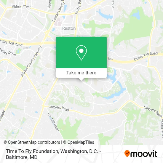
See Time To Fly Foundation, Fairfax County, on the map
Public Transit to Time To Fly Foundation in Fairfax County
Wondering how to get to Time To Fly Foundation in Fairfax County? Moovit helps you find the best way to get to Time To Fly Foundation with step-by-step directions from the nearest public transit station.
Moovit provides free maps and live directions to help you navigate through your city. View schedules, routes, timetables, and find out how long does it take to get to Time To Fly Foundation in real time.
Looking for the nearest stop or station to Time To Fly Foundation? Check out this list of stops closest to your destination: S Lakes Dr @ Springwood Dr; Soapstone Dr @ Green Watch Way; Reston Town Center.
Bus: 605, RIBS2, 557.Metro: SILVER.
Want to see if there’s another route that gets you there at an earlier time? Moovit helps you find alternative routes or times. Get directions from and directions to Time To Fly Foundation easily from the Moovit App or Website.
We make riding to Time To Fly Foundation easy, which is why over 1.7 million users, including users in Fairfax County, trust Moovit as the best app for public transit. You don’t need to download an individual bus app or train app, Moovit is your all-in-one transit app that helps you find the best bus time or train time available.
For information on prices of bus and metro, costs and ride fares to Time To Fly Foundation, please check the Moovit app.
Use the app to navigate to popular places including to the airport, hospital, stadium, grocery store, mall, coffee shop, school, college, and university.
Location: Fairfax County, Washington, D.C. - Baltimore, MD
- Rma Remodeling And Handyman Services,
- The Presentation Team (Presentation Team - Powerpoint Design & Training + Coaching),
- Keyme Locksmiths,
- Amazon Locker-Sushi,
- Jim Hoffsher: Allstate Insurance Recruiter,
- Langston Hughes Middle School,
- Teachersfirst,
- Latt & Helen,
- Kensington Reston,
- Renaissance Contractors,
- Traditional Pilates,
- Dfm Development Services,
- The O'Gorman Team - Long & Foster,
- Langone & Fasullo P,
- Gink Vehicle Wraps And Signs And Neon Signs,
- Randy Herbst - Realtor,
- Rides on Road,
- Dana Jensen,
- Reston Parkway,
- Reston, Virginia
Places Near Time To Fly Foundation (Fairfax County)
- The Anthem, Washington,
- Basilica of the National Shrine, Washington,
- Amazon Hq2, Arlington County,
- Pennsylvania Ave NW (3rd st and pennsylvania), Washington,
- Warner Theatre, Washington,
- Washington DC VA Medical Center, Washington,
- M&T Bank Stadium, Baltimore,
- Capital One Arena, Washington,
- Sibley Memorial Hospital, Washington,
- PG Mall, Prince George's County,
- Washington National Cathedral, Washington,
- Westfield Montgomery Mall, Montgomery County,
- Museum Of The Bible, Washington,
- Camden Yards, Baltimore,
- National Zoo, Washington,
- Georgetown, Washington,
- National Museum of African American History and Culture, Washington,
- Rock Creek Tennis Center, Washington,
- National Theatre, Washington,
- Marriott Marquis Washington, DC, Washington
How to get to popular places in Washington, D.C. - Baltimore, MD with public transit
Get around Fairfax County by public transit!
Traveling around Fairfax County has never been so easy. See step by step directions as you travel to any attraction, street or major public transit station. View bus and train schedules, arrival times, service alerts and detailed routes on a map, so you know exactly how to get to anywhere in Fairfax County.
When traveling to any destination around Fairfax County use Moovit's Live Directions with Get Off Notifications to know exactly where and how far to walk, how long to wait for your line, and how many stops are left. Moovit will alert you when it's time to get off — no need to constantly re-check whether yours is the next stop.
Wondering how to use public transit in Fairfax County or how to pay for public transit in Fairfax County? Moovit public transit app can help you navigate your way with public transit easily, and at minimum cost. It includes public transit fees, ticket prices, and costs. Looking for a map of Fairfax County public transit lines? Moovit public transit app shows all public transit maps in Fairfax County with all Bus, Train, Metro, Light Rail and Ferry routes and stops on an interactive map.
Washington, D.C. - Baltimore, MD has 5 transit type(s), including: Bus, Train, Metro, Light Rail and Ferry, operated by several transit agencies, including WMATA, Montgomery County Ride On, Fairfax Connector, TheBus, PRTC, DASH - Alexandria, Arlington Transit (ART), RTA of Central Maryland, MDOT MTA, MDOT MTA Light RailLink, MDOT MTA Commuter Bus, MDOT MTA Local Bus, FXBGO!, Virginia Railway Express (VRE) and MARC