How to get to Tip Top by bus?
Click on the bus route to see step by step directions with maps, line arrival times and updated time schedules.
From Edmonton Folk Music Festival Site, Edmonton
62 minFrom Westbrook Elementary School, Edmonton
39 minFrom Mazankowski Alberta Heart Institute - East Public Parkade, Edmonton
29 minFrom Alberta Motor Association (AMA), Edmonton
44 minFrom MacEwan University, Edmonton
32 minFrom Gallagher Park, Edmonton
63 minFrom Avanica Furniture, Edmonton
39 minFrom The Enjoy Centre, St. Albert
53 minFrom Comfort INN-Edmonton Downtown, Edmonton
42 minFrom Edmonton Fire Station #8 (Hagmann), Edmonton
49 min
Bus stops near Tip Top in Edmonton
Bus lines to Tip Top in Edmonton
- 917, West Edmonton Mall Transit Centre,VIEW
- 913, West Edmonton Mall - Jamieson Place,VIEW
- 916, West Edmonton Mall - Lewis Farms,VIEW
- 918, West Edmonton Mall - Lessard,VIEW
- 923, West Edmonton Mall - Oleskiw,VIEW
- 002, West Edmonton Mall - Stadium - Clareview,VIEW
- 004, Lewis Farms - University - Capilano,VIEW
- 007, West Edmonton Mall - Downtown,VIEW
- 052, Northgate - West Edmonton Mall,VIEW
- 054, West Edmonton Mall - West Clareview,VIEW
- 055, Meadows - Southgate - West Edmonton Mall,VIEW
- 056, Meadows - Leger - West Edmonton Mall,VIEW
- 205, West Edmonton,VIEW
- 671, Alex Janvier - Wem,VIEW
- 673, Hillcrest - Wem,VIEW
- 674, H.E. Beriault - Lewis Farms,VIEW
- 681, Ross Sheppard - A. Macdonald - Lewis Farms,VIEW
- 692, Victoria School - Wem,VIEW
- 900X, Lewis Farms - Downtown,VIEW
- 904, West Edmonton Mall - Westmount,VIEW
What are the closest stations to Tip Top?
The closest stations to Tip Top are:
- 175 Street & 85 Avenue is 299 meters away, 4 min walk.
- 178 Street & 86 Avenue is 416 meters away, 6 min walk.
- North West Edmonton Mall Tc is 522 meters away, 7 min walk.
Which bus lines stop near Tip Top?
These bus lines stop near Tip Top: 002, 004, 007, 055, 205, 904.
What’s the nearest bus station to Tip Top in Edmonton?
The nearest bus station to Tip Top in Edmonton is 175 Street & 85 Avenue. It’s a 4 min walk away.
What time is the first bus to Tip Top in Edmonton?
The 002 is the first bus that goes to Tip Top in Edmonton. It stops nearby at 3:01 AM.
What time is the last bus to Tip Top in Edmonton?
The 004 is the last bus that goes to Tip Top in Edmonton. It stops nearby at 3:39 AM.
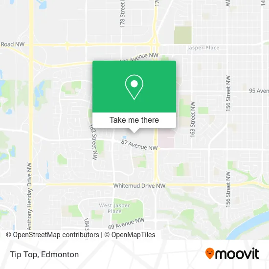
See Tip Top, Edmonton, on the map
Public Transit to Tip Top in Edmonton
Wondering how to get to Tip Top in Edmonton? Moovit helps you find the best way to get to Tip Top with step-by-step directions from the nearest public transit station.
Moovit provides free maps and live directions to help you navigate through your city. View schedules, routes, timetables, and find out how long does it take to get to Tip Top in real time.
Looking for the nearest stop or station to Tip Top? Check out this list of stops closest to your destination: 175 Street & 85 Avenue; 178 Street & 86 Avenue; North West Edmonton Mall Tc.
Bus: 002, 004, 007, 055, 205, 904, 917, 913, 916, 918, 923, 052, 054.
Want to see if there’s another route that gets you there at an earlier time? Moovit helps you find alternative routes or times. Get directions from and directions to Tip Top easily from the Moovit App or Website.
We make riding to Tip Top easy, which is why over 1.5 million users, including users in Edmonton, trust Moovit as the best app for public transit. You don’t need to download an individual bus app or train app, Moovit is your all-in-one transit app that helps you find the best bus time or train time available.
For information on prices of bus and light rail, costs and ride fares to Tip Top, please check the Moovit app.
Use the app to navigate to popular places including to the airport, hospital, stadium, grocery store, mall, coffee shop, school, college, and university.
Tip Top Address: 8882 170 St NW Edmonton, AB T5T 3J7 street in Edmonton
- Souvenir N' Smoke Shop,
- Danier Leather,
- Ice Palace Figure Skating Club,
- Lammle's Western Wear & Tack,
- Vo's Nails,
- Esthetic & Beauty Supply LTD,
- Benefit Cosmetics Brow Bar,
- Lush Cosmetics,
- Skyflyer Zipline,
- MERRELL,
- Indigo West Edmonton Mall,
- Alo,
- George Richards Big & Tall Menswear,
- VANS,
- Newplay,
- Skinny,
- Arby's,
- Abco,
- Orchid HR DSGN Prfssnl TTTNG & Bdy,
- Mina's Fashion & Design
Places Near Tip Top (Edmonton)
- Royal Alexandra Hospital, Edmonton,
- Alberta Legislature Building, Edmonton,
- Edmonton Commonwealth Stadium, Edmonton,
- Cross Cancer Institute, Edmonton,
- Kaye Edmonton Clinic, Edmonton,
- Edmonton VIA Rail Station, Edmonton,
- Northgate Centre, Edmonton,
- West Edmonton Mall, Edmonton,
- Edmonton EXPO Centre, Edmonton,
- Edmonton Valley Zoo, Edmonton,
- Canada Place Service Canada Centre, Edmonton,
- Fort Edmonton Park, Edmonton,
- Borden Park, Edmonton,
- MacEwan University, Edmonton,
- University of Alberta, Edmonton,
- Whyte Avenue, Edmonton,
- Kingsway Mall, Edmonton,
- Grey Nuns Community Hospital, Edmonton,
- Rogers Place, Edmonton,
- Londonderry Mall, Edmonton
How to get to popular places in Edmonton with public transit
Get around Edmonton by public transit!
Traveling around Edmonton has never been so easy. See step by step directions as you travel to any attraction, street or major public transit station. View bus and train schedules, arrival times, service alerts and detailed routes on a map, so you know exactly how to get to anywhere in Edmonton.
When traveling to any destination around Edmonton use Moovit's Live Directions with Get Off Notifications to know exactly where and how far to walk, how long to wait for your line, and how many stops are left. Moovit will alert you when it's time to get off — no need to constantly re-check whether yours is the next stop.
Wondering how to use public transit in Edmonton or how to pay for public transit in Edmonton? Moovit public transit app can help you navigate your way with public transit easily, and at minimum cost. It includes public transit fees, ticket prices, and costs. Looking for a map of Edmonton public transit lines? Moovit public transit app shows all public transit maps in Edmonton with all Bus and Light Rail routes and stops on an interactive map.
Edmonton has 2 transit type(s), including: Bus and Light Rail, operated by several transit agencies, including ETS LRT, ETS, Strathcona County Transit, St. Albert Transit, Spruce Grove Transit, Fort Saskatchewan Transit, Beaumont Transit and Leduc Transit