Tito stop - Monday schedule
| Line | Direction | Time |
|---|---|---|
| 769 | Piazzale Ostiense-Piramide (Metro B-Rail Line) | 5:16 AM |
| 769 | Piazzale Ostiense-Piramide (Metro B-Rail Line) | 5:47 AM |
| 766 | Trastevere Station (Rail) | 5:48 AM |
| 766 | Trastevere Station (Rail) | 6:04 AM |
| 766 | Trastevere Station (Rail) | 6:21 AM |
| 769 | Piazzale Ostiense-Piramide (Metro B-Rail Line) | 6:22 AM |
| 766 | Trastevere Station (Rail) | 6:40 AM |
| 769 | Piazzale Ostiense-Piramide (Metro B-Rail Line) | 6:56 AM |
| 769 | Piazzale Ostiense-Piramide (Metro B-Rail Line) | 6:58 AM |
| 766 | Trastevere Station (Rail) | 6:59 AM |
| 766 | Trastevere Station (Rail) | 7:14 AM |
| 766 | Trastevere Station (Rail) | 7:29 AM |
| 769 | Piazzale Ostiense-Piramide (Metro B-Rail Line) | 7:34 AM |
| 766 | Trastevere Station (Rail) | 7:47 AM |
| 766 | Trastevere Station (Rail) | 7:57 AM |
| 769 | Piazzale Ostiense-Piramide (Metro B-Rail Line) | 8:04 AM |
| 766 | Trastevere Station (Rail) | 8:07 AM |
| 766 | Trastevere Station (Rail) | 8:21 AM |
| C8 | Baldelli Metro Line B | 8:25 AM |
| 769 | Piazzale Ostiense-Piramide (Metro B-Rail Line) | 8:29 AM |
| 766 | Trastevere Station (Rail) | 8:35 AM |
| 766 | Trastevere Station (Rail) | 8:44 AM |
| 766 | Trastevere Station (Rail) | 8:49 AM |
| 769 | Piazzale Ostiense-Piramide (Metro B-Rail Line) | 8:54 AM |
| 766 | Trastevere Station (Rail) | 9:04 AM |
Directions to Tito stop (Roma) with public transit
The following transit lines have routes that pass near Tito
 Bus: 30, 714, 715, 766, C8.
- Train: FC2, R, R, R, RV.
- Metro: B.
How to get to Tito stop by bus?
Click on the bus route to see step by step directions with maps, line arrival times and updated time schedules.
How to get to Tito stop by train?
Click on the train route to see step by step directions with maps, line arrival times and updated time schedules.
How to get to Tito stop by metro?
Click on the metro route to see step by step directions with maps, line arrival times and updated time schedules.
Bus stops near Tito stop in Roma
- Emperor Justinian/Titus, 3 min walk,
- Colombo/Leonori, 3 min walk,
- Colombo/Accademia Agiati, 4 min walk,
- Giustiniano/Galba, 4 min walk,
- Zoagli/Mameli, 5 min walk,
Train stations near Tito station in Roma
- St. Paul's Basilica, 13 min walk,
- Roma Ostiense, 29 min walk,
Metro stations near Tito station in Roma
- St. Paul's Basilica, 13 min walk,
Bus lines to Tito stop in Roma
- 766, Millevoi,
- 769, London,
- C8, Laurentino Cemetery,
- 714, Nervi/Sports Palace,
- 30, Laurentina (Metro B),
- 670, Pincherle/Parravano,
- 669, Pincherle/Parravano,
- 715, Tiberio Imperatore,
What are the closest stations to Tito?
The closest stations to Tito are:
- Emperor Justinian/Titus stop is 162 meters away, 3 min walk.
- Colombo/Leonori stop is 178 meters away, 3 min walk.
- Colombo/Accademia Agiati stop is 256 meters away, 4 min walk.
- Giustiniano/Galba stop is 279 meters away, 4 min walk.
- Zoagli/Mameli stop is 323 meters away, 5 min walk.
- St. Paul's Basilica station is 984 meters away, 13 min walk.
- Roma Ostiense station is 2230 meters away, 29 min walk.
Which bus lines stop near Tito?
These bus lines stop near Tito: 30, 714, 715, 766, C8.
Which train line stops near Tito?
FC2 (Cristoforo Colombo)
Which metro line stops near Tito?
B (Laurentina)
What’s the nearest metro station to Tito in Roma?
The nearest metro station to Tito in Roma is St. Paul's Basilica. It’s a 13 min walk away.
What’s the nearest train station to Tito in Roma?
The nearest train station to Tito in Roma is St. Paul's Basilica. It’s a 13 min walk away.
What’s the nearest bus station to Tito in Roma?
The nearest bus stations to Tito in Roma are Emperor Justinian/Titus and Colombo/Leonori. The closest one is a 3 min walk away.
What time is the first metro to Tito in Roma?
The B is the first metro that goes to Tito in Roma. It stops nearby at 5:38 AM.
What time is the last metro to Tito in Roma?
The B is the last metro that goes to Tito in Roma. It stops nearby at 12:00 AM.
What time is the first train to Tito in Roma?
The FL1 is the first train that goes to Tito in Roma. It stops nearby at 5:17 AM.
What time is the last train to Tito in Roma?
The FC2 is the last train that goes to Tito in Roma. It stops nearby at 12:04 AM.
What time is the first bus to Tito in Roma?
The 715 is the first bus that goes to Tito in Roma. It stops nearby at 5:35 AM.
What time is the last bus to Tito in Roma?
The 715 is the last bus that goes to Tito in Roma. It stops nearby at 12:56 AM.
Tito station
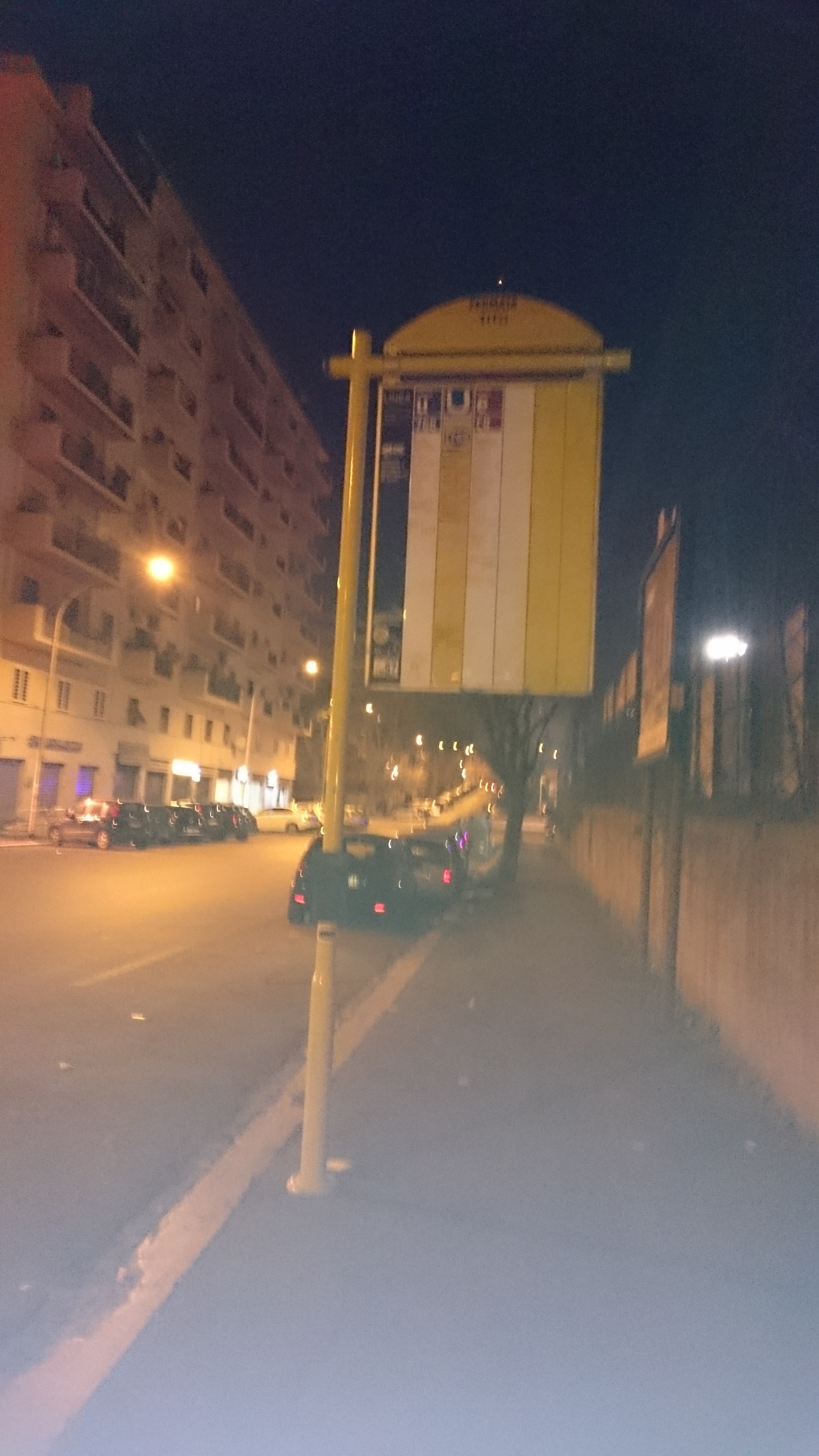 Taken by Anonymous
See Tito stop, Roma, on the map
Public transit to Tito stop (ID: 73687) in Roma
Looking for directions to Tito in Roma, Italy?
Download the Moovit App to find the current schedule and step-by-step directions for Bus, Metro or Train routes that pass through Tito.
Looking for the nearest stops closest to Tito ? Check out this list of closest stops to your destination: Emperor Justinian/Titus; Colombo/Leonori; Colombo/Accademia Agiati; Giustiniano/Galba; Zoagli/Mameli; St. Paul's Basilica; Roma Ostiense.
Bus: 30, 714, 715, 766, C8, 769.Train: FC2, R, R, R, RV, FL1.Metro: B.
We make riding on public transit to Tito easy, which is why over 1.7 billion users, including users in Roma trust Moovit as the best app for public transit.
Use the app to navigate to popular places including to the airport, hospital, stadium, grocery store, mall, coffee shop, school, college, and university.
Tito stop’s code is 73687
The first line to this stop is 769, at 5:16 AM, and the last line is 769 at 12:17 AM.
This stop serves ATR Mobility and ATAC’s lines
- Emperor Justinian/Titus,
- Colombo/Leonori,
- Colombo/Accademia Agiati,
- Giustiniano/Galba,
- Zoagli/Mameli
Bus stops near Tito stop
- St. Paul's Basilica,
- Roma Ostiense
Train stations near Tito station
- St. Paul's Basilica
Metro station near Tito station
- Cardinals Square,
- Poggio Moiano via Salaria (Osteria Nuova),
- Forano | Sports Field,
- Castel Madama,
- Cortina D'Ampezzo/Cavalese,
- Flaminia/Vigna Clara (Railway Station),
- Fondi | Station Road Piemonte Avenue,
- Pietralata/Silvano,
- Prenestina/Maggiolino,
- Nuovo Salario,
- Lucio Sestio (MA),
- Ipogeo Degli Ottavi,
- Porciano | Saint Erasmus Church,
- Portuense/Imbrecciato,
- Civita | Flaminian Way (Km 61),
- 59 Pietro Nenni Street,
- Arcinazzo | Highlands,
- Nomentana/Trieste,
- Ripetta,
- Pomezia | Via Del Mare (La Macchiozza)
Popular public transit stations in Roma
Get around Roma by public transit!
Traveling around Roma has never been so easy. See step by step directions as you travel to any attraction, street or major public transit station. View bus and train schedules, arrival times, service alerts and detailed routes on a map, so you know exactly how to get to anywhere in Roma.
When traveling to any destination around Roma use Moovit's Live Directions with Get Off Notifications to know exactly where and how far to walk, how long to wait for your line, and how many stops are left. Moovit will alert you when it's time to get off — no need to constantly re-check whether yours is the next stop.
Wondering how to use public transit in Roma or how to pay for public transit in Roma? Moovit public transit app can help you navigate your way with public transit easily, and at minimum cost. It includes public transit fees, ticket prices, and costs. Looking for a map of Roma public transit lines? Moovit public transit app shows all public transit maps in Roma with all Bus, Train, Metro, Light Rail, Ferry, Funicular and Gondola routes and stops on an interactive map.
Rome and Lazio has 7 transit type(s), including: Bus, Train, Metro, Light Rail, Ferry, Funicular and Gondola, operated by several transit agencies, including ATAC, Cotral, Trenitalia, Troiani Transportation Services, BIS, ATR Mobility, Tuscia, Shuttle, Seatour, Troiani Bus Lines, CSC Mobility, Terravision, ATRAL, Tambus and Sitbus