How to get to Toby Orthopaedics by bus?
Click on the bus route to see step by step directions with maps, line arrival times and updated time schedules.
From Dade county courthouse, Miami
63 minFrom Imater Academy Charter Middle/High School, Hialeah
62 minFrom Homewood Suites by Hilton Miami Downtown/Brickell, Miami
56 minFrom NW 37th Ave, Miami
72 minFrom SW 11th St / SW 3rd Ave, Miami
47 minFrom miami dade College Kendall Campus, Kendall-Palmetto Bay
79 minFrom NW 17th Ave / NW 36th St, Miami
66 minFrom Haitian Consulate General, Miami
51 minFrom US1, Miami
49 minFrom Chase, Miami
49 min
Bus stops near Toby Orthopaedics in Miami
Bus lines to Toby Orthopaedics in Miami
What are the closest stations to Toby Orthopaedics?
The closest stations to Toby Orthopaedics are:
- Sw 8 St & Sw 63 Av is 72 yards away, 2 min walk.
- Sw 8 St & Sw 64 Av is 132 yards away, 2 min walk.
- Sw 67 Av & Sw 8 St is 601 yards away, 8 min walk.
Which bus lines stop near Toby Orthopaedics?
These bus lines stop near Toby Orthopaedics: 73, 8.
What’s the nearest bus station to Toby Orthopaedics in Miami?
The nearest bus stations to Toby Orthopaedics in Miami are Sw 8 St & Sw 63 Av and Sw 8 St & Sw 64 Av. The closest one is a 2 min walk away.
What time is the first bus to Toby Orthopaedics in Miami?
The 8 is the first bus that goes to Toby Orthopaedics in Miami. It stops nearby at 4:32 AM.
What time is the last bus to Toby Orthopaedics in Miami?
The 8 is the last bus that goes to Toby Orthopaedics in Miami. It stops nearby at 1:06 AM.
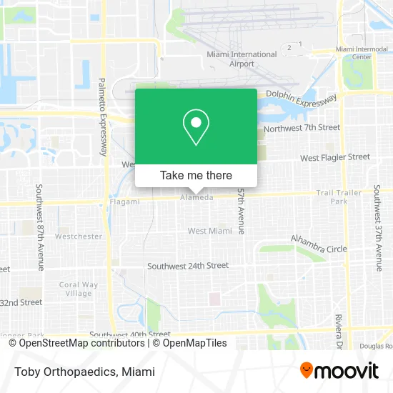
See Toby Orthopaedics, Miami, on the map
Public Transit to Toby Orthopaedics in Miami
Wondering how to get to Toby Orthopaedics in Miami? Moovit helps you find the best way to get to Toby Orthopaedics with step-by-step directions from the nearest public transit station.
Moovit provides free maps and live directions to help you navigate through your city. View schedules, routes, timetables, and find out how long does it take to get to Toby Orthopaedics in real time.
Looking for the nearest stop or station to Toby Orthopaedics? Check out this list of stops closest to your destination: Sw 8 St & Sw 63 Av; Sw 8 St & Sw 64 Av; Sw 67 Av & Sw 8 St.
Bus: 73, 8, MIAFLAG.
Want to see if there’s another route that gets you there at an earlier time? Moovit helps you find alternative routes or times. Get directions from and directions to Toby Orthopaedics easily from the Moovit App or Website.
We make riding to Toby Orthopaedics easy, which is why over 1.5 million users, including users in Miami, trust Moovit as the best app for public transit. You don’t need to download an individual bus app or train app, Moovit is your all-in-one transit app that helps you find the best bus time or train time available.
For information on prices of bus and train, costs and ride fares to Toby Orthopaedics, please check the Moovit app.
Use the app to navigate to popular places including to the airport, hospital, stadium, grocery store, mall, coffee shop, school, college, and university.
Toby Orthopaedics Address: 6355 SW 8th St Miami, FL 33144 street in Miami
- Provocative Med Spa I,
- Daisy Joyeria,
- Calle Ocho Shopping Center,
- Alameda West,
- Mauro J Cabrera DVM,
- Alameda, Florida,
- Southwest 8th Street & Southwest 64th Avenue,
- You & I Medical Aesthetic Spa,
- Everybody Smoke & Vape Shop,
- Almacenes Botanica Oñi Aña Calle 8,
- Salsa Art Studios,
- Art Restoration Murals Miami,
- D'Wax & G Fashion,
- 305-800-Pain,
- Ginger Beauty,
- Browista Beauty,
- 1good Pharmacy,
- Rafer Enterprises,
- ATM,
- Botanica Inshe Miami
Places Near Toby Orthopaedics (Miami)
- Aventura Mall, Miami Beach,
- Dolphin Mall, Miami,
- Sawgrass Mall, Miami,
- Zoo Miami, Miami,
- Marlins Park, Miami,
- Richard E. Gerstein Justice Building, Miami,
- Bayside Marketplace, Miami,
- Dolphin Mall Bus, Miami,
- Wynwood, Miami,
- Hard Rock Stadium, Miami Gardens,
- Port of Miami Cruise Terminal, Miami,
- Miami Design District, Miami,
- Little Havana, Miami,
- Brickell City Centre, Miami,
- Miami VA Hospital, Miami,
- Keiser University Flagship Campus, West Palm Beach,
- Aventura Mall, Miami,
- Miami-Dade County Courthouse, Miami,
- Miami Freedom Park, Miami,
- Sawgrass mall ( FL ), Miami Beach
How to get to popular places in Miami with public transit
Get around Miami by public transit!
Traveling around Miami has never been so easy. See step by step directions as you travel to any attraction, street or major public transit station. View bus and train schedules, arrival times, service alerts and detailed routes on a map, so you know exactly how to get to anywhere in Miami.
When traveling to any destination around Miami use Moovit's Live Directions with Get Off Notifications to know exactly where and how far to walk, how long to wait for your line, and how many stops are left. Moovit will alert you when it's time to get off — no need to constantly re-check whether yours is the next stop.
Wondering how to use public transit in Miami or how to pay for public transit in Miami? Moovit public transit app can help you navigate your way with public transit easily, and at minimum cost. It includes public transit fees, ticket prices, and costs. Looking for a map of Miami public transit lines? Moovit public transit app shows all public transit maps in Miami with all Bus, Train, Light Rail and Ferry routes and stops on an interactive map.
Miami has 4 transit type(s), including: Bus, Train, Light Rail and Ferry, operated by several transit agencies, including Broward County Transit, Miami-Dade Transit, Metrorail, Palm Tran, Tri-Rail, Brightline, MARTY, City of Homestead Trolley, Key West Transit, Treasure Coast Connector, GoLine IRT, Amtrak, Greyhound-us, FlixBus-us and Aventura Express Shuttle Bus